Pine Creek Campground
Campground
Campground · 5.2 mi from the trail
Closure in the area
There's a closure order in Boise National Forest. It doesn't name Granite Basin, so check the source for the area it covers.
UPDATED Sept. 19 - Crooked Fire Area, Road, and Trail Closure
Agency closure covering Boise National Forest · Order 0402-03-140 · USFS · Boise National Forest
Lava Fire Road Closure
Agency alert covering Boise National Forest · Order 0402-06-84 · USFS · Boise National Forest
As of · Source: USFS · Boise National Forest. Agencies don't list every closure — check before you go.
Granite Basin is a moderate hike in the Emmett Ranger District of Idaho's Boise National Forest. The out-and-back route covers about 4.4 miles on a natural surface and climbs about 850 feet one way. It runs between a low point near 5,400 feet and a high point around 6,250 feet. Summer and early fall are the most comfortable time to go. Typical averages from a nearby weather station show July highs around 82°F with lows near 40°F, and September highs in the low 70s with nights near freezing. The trail is open to bikes and horses as well as hikers. Anderson Creek is 1.4 miles away, and Scott Mountain is 2.7 miles away. For an overnight or a change of pace, Deadwood Lookout Rec Cabin and fishing on the Payette River's South Fork are both within about 9 miles.
Pine Creek Campground
Campground
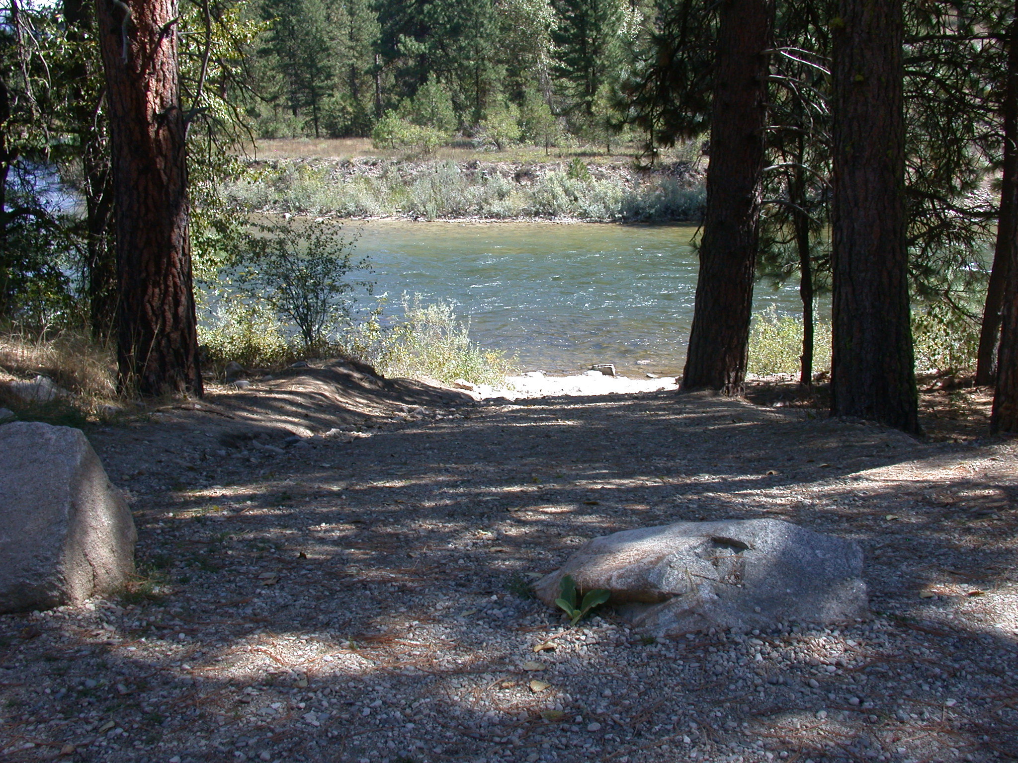
 If it rainsj.a.woodhouse from United States, CC BY 2.0 · Wikimedia Commons
Places © OpenStreetMap contributors, Places © Overture Maps Foundation · Photos: j.a.woodhouse from United States, CC BY 2.0 (commons)
More in Idaho CityNot on Roamze yet. Their page has how to reach them.
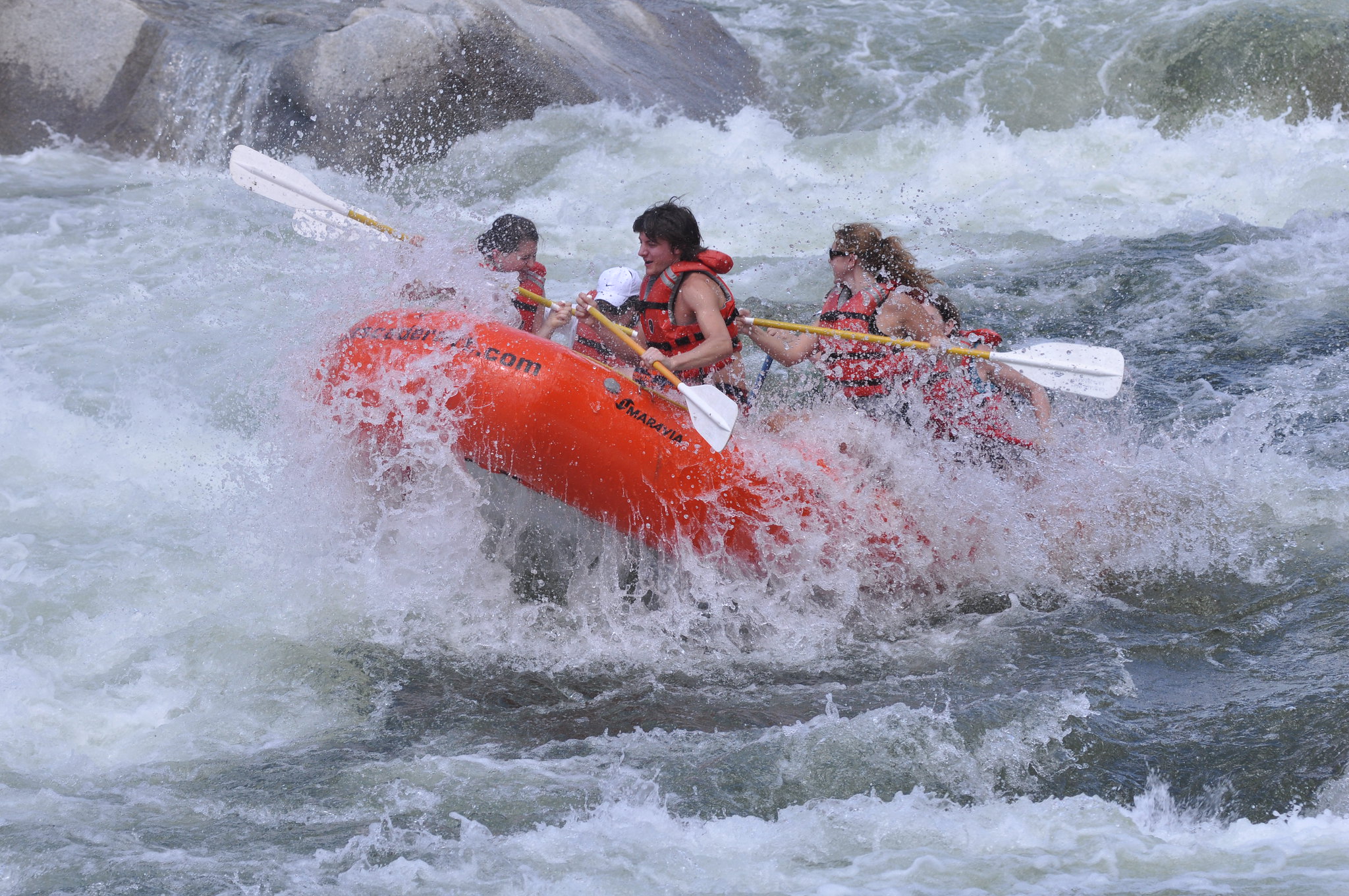 Payette River: South ForkRiver fishing8.5 mi
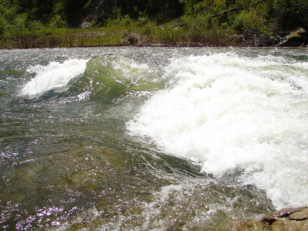
 Payette River: ConfluenceRiver fishing9.9 mi
Source: Roamze catalog (indexable pages within 10 miles, PostGIS distance)
 Station CreekHiking · ~13 min drivePhoto: Fokket, CC BY 2.0 (via Flickr)
Best months: June–September. Best months have typical highs of 55–85 °F, lows of 30 °F or warmer (32 °F where the station doesn't record snow), at most one snowy day and no more than 12 wet days.
Jan
35° / 8°
Feb
36° / 12°
Mar
42° / 16°
Apr
49° / 22°
May
61° / 30°
Jun
70° / 35°
Jul
82° / 40°
Aug
81° / 38°
Sep
73° / 32°
Oct
57° / 26°
Nov
40° / 16°
Dec
31° / 9°
Typical high / low (°F) and days with rain or snow, 1991–2020. Measured at Deadwood Lodge, ID, 24.2 mi away at 5,948 ft. This station doesn't record snowfall. Source: NOAA NCEI U.S. Climate Normals 1991–2020.
