Prairie Campground
Campground
Campground · 5.0 mi from the trail
Alert in the area
The Forest Service lists 4 alerts for Sawtooth National Forest.
Paradise Prescribed Burn Restricted Access
Agency alert covering Sawtooth National Forest · USFS · Sawtooth National Forest
Grandjean Area, Road, and Trail Closure
Agency alert covering Sawtooth National Forest · Order 0414-04-165 · USFS · Sawtooth National Forest
Over-Snow Vehicle and Bicycle Prohibitions
Agency alert covering Sawtooth National Forest · Order 0414-00-028 · USFS · Sawtooth National Forest
Occupancy and Use - Food Storage
Agency alert covering Sawtooth National Forest · Order 0414-04-143 · USFS · Sawtooth National Forest
As of · Source: USFS · Sawtooth National Forest. Agencies don't list every closure — check before you go.
Gladiator is a moderate hike of about 3.6 miles in the Sawtooth National Recreation Area, part of the Sawtooth National Forest in Idaho. The Forest Service manages the land, and the trail starts just 0.4 miles from the town of Galena. The route is an out-and-back with a low point of about 7,361 feet and a high of about 7,530 feet, so the climb is a gentle one of about 150 feet one way. The trail surface is natural, and bikes are allowed. Summer is the most comfortable time to go. Typical averages from a nearby weather station in Stanley show July and August highs around 80°F with lows in the upper 30s, and those months see the fewest wet days of the year. That station sits roughly 1,000 feet lower than the trail, so temperatures on the hike run cooler. The Gladiator Loop mountain biking route and The Grinder hike both lie within about a quarter mile. Chemeketan Campground is about 5.5 miles away, and the Salmon River offers canoeing about 6.4 miles out.
Prairie Campground
Campground
The Sun Valley Club
Restaurant
Sun Valley Museum of Art
Museum
Places © OpenStreetMap contributors
More in KetchumNot on Roamze yet. Their page has how to reach them.
Best months: June–August. Best months have typical highs of 55–85 °F, lows of 30 °F or warmer (32 °F where the station doesn't record snow), at most one snowy day and no more than 12 wet days.
Jan
29° / 4°
12 wet
Feb
35° / 7°
12 wet
Mar
42° / 14°
14 wet
Apr
49° / 21°
12 wet
May
60° / 30°
12 wet
Jun
69° / 35°
10 wet
Jul
80° / 39°
6 wet
Aug
80° / 37°
5 wet
Sep
70° / 31°
7 wet
Oct
55° / 24°
9 wet
Nov
39° / 14°
12 wet
Dec
28° / 6°
14 wet
Typical high / low (°F) and days with rain or snow, 1991–2020. Measured at Stanley Rs, ID, 24.4 mi away at 6,495 ft. The station sits about 1,000 ft lower than this place, so expect it a little cooler here. This station doesn't record snowfall. Source: NOAA NCEI U.S. Climate Normals 1991–2020.
 Photo: U.S. Forest Service employees, Public domain (via Wikimedia Commons)
Titus Lake
~3 min drive
9.46-mile out-and-back trail in Idaho with 1,507 ft elevation gain.
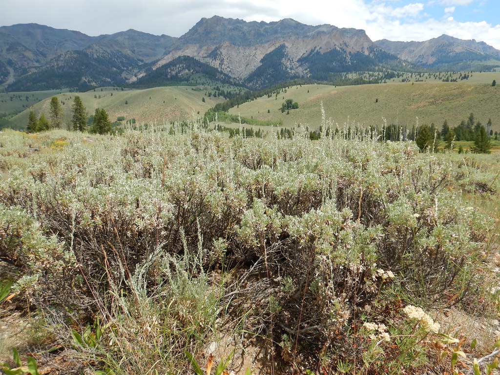 Photo: Matt Lavin, CC BY-SA 2.0 (via Flickr)
PRAIRIE CREEK CONNECTOR SKI
~9 min drive
1.52-mile out-and-back ski trail in Idaho with 150 ft elevation gain
 Photo: J. Crane, Public domain (via Wikimedia Commons)
Old Toll Road Trail
~5 min drive
7.45-mile out-and-back trail in Idaho with 779 ft gain.
 Photo: jfdervin, CC BY-SA 2.0 (via Flickr)
Corrals Trail
~8 min drive
5.5-mile out-and-back hike in Idaho with 1,244 ft elevation gain.
HIKE
Lodge Loop
Next door
Lodge Loop is a 1.4-mile out-and-back trail in Idaho with 60 feet of elevation gain.
HIKE
The Grinder
Next door
The Grinder is a 21-mile out-and-back trail in Idaho with 848 ft of elevation gain.
Photo: Matt Lavin, CC BY-SA 2.0 (via Flickr)PRAIRIE CREEK LOOP SKI
~9 min drive
7.7-mile out-and-back ski trail in Idaho with 818 ft elevation gain and loss.
HIKE
Galena View Loop
Next door
2.00-mile out-and-back trail in Idaho with 88 ft of elevation gain.
HIKE
HARRIMAN TRAIL
Next door
37.28-mile out-and-back trail in Idaho with 2,212 ft elevation gain and loss.
HIKE
Outhouse Loop
Next door
3.20-mile out-and-back trail in Idaho with 180 ft elevation gain.


