Baker Creek Road Campground
Campground
Campground · 3.0 mi from the trail
Alert in the area
The Forest Service lists 4 alerts for Sawtooth National Forest.
Paradise Prescribed Burn Restricted Access
Agency alert covering Sawtooth National Forest · USFS · Sawtooth National Forest
Grandjean Area, Road, and Trail Closure
Agency alert covering Sawtooth National Forest · Order 0414-04-165 · USFS · Sawtooth National Forest
Over-Snow Vehicle and Bicycle Prohibitions
Agency alert covering Sawtooth National Forest · Order 0414-00-028 · USFS · Sawtooth National Forest
Occupancy and Use - Food Storage
Agency alert covering Sawtooth National Forest · Order 0414-04-143 · USFS · Sawtooth National Forest
As of · Source: USFS · Sawtooth National Forest. Agencies don't list every closure — check before you go.
Fox Peak Connector is a 2-mile loop hike in Idaho's Sawtooth National Forest, within the Ketchum Ranger District. The trail starts and ends at about 8,315 feet, with a high point of 8,673 feet and a total elevation gain of 581 feet. The climb is rolling, and the steepest stretch comes at about 1.9 miles in, with a grade of 25 percent. The Forest Service manages the land. The hike is rated easy and takes about an hour to complete. It makes a straightforward outing for a day on the trail, and the loop shape means you return to your starting point. The OSberg Ridgeline Trail lies about 0.7 miles away, and Alden Gulch Trail #144, a mountain biking route, is about 2.4 miles off. Baker Creek, a canoeing spot, is about 3.8 miles away, and Wood River Campground is about 4.8 miles away.
Baker Creek Road Campground
Campground
Sun Valley Museum of Art
Museum
Places © OpenStreetMap contributors, Places © Overture Maps Foundation
More in KetchumNot on Roamze yet. Their page has how to reach them.
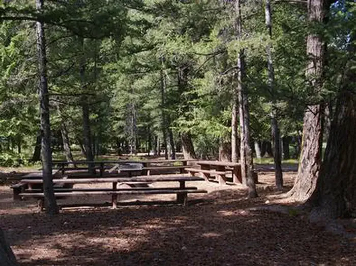 Wood River Group Overnight Area (tent Only)CampingPhoto: Recreation.gov (RIDB) / public domain4.8 mi
Source: Roamze catalog (indexable pages within 10 miles, PostGIS distance)
 NEWMAN CREEKHiking · ~6 min drivePhoto: Matt Lavin, CC BY-SA 2.0 (via Flickr)
 BAKER CREEKHiking · ~7 min drivePhoto: Fredlyfish4 at English Wikipedia, Public domain (via Wikimedia Commons)
 SILVER CREEK LOOPHiking · ~8 min drivePhoto: U.S. Forest Service employees, Public domain (via Wikimedia Commons)
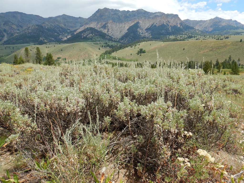 PRAIRIE CREEK LOOP SKIHiking · ~12 min drivePhoto: Matt Lavin, CC BY-SA 2.0 (via Flickr)
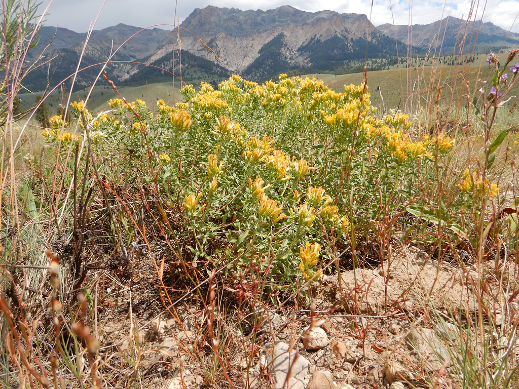 NORTH LOOP SKIHiking · ~12 min drivePhoto: Matt Lavin, CC BY-SA 2.0 (via Flickr)
 Easley Gulch Aka CurliesHiking · ~6 min drivePhoto: Matt Lavin, CC BY-SA 2.0 (via Flickr)PRAIRIE CREEK CONNECTOR SKIHiking · ~12 min drivePhoto: Matt Lavin, CC BY-SA 2.0 (via Flickr)
Also worth it near here
Map and trail data © OpenStreetMap contributors

