Boundary
Campground
Campground · 2.9 mi from the trail
Fox Cr. Loop is a 10.8-mile out-and-back hike on Bureau of Land Management land in Idaho's Shoshone Field Office, about 3 miles from Ketchum. The trail rises from a low point of 5,973 feet to a high of 6,664 feet, with a total elevation gain of 671 feet. It is a hard route, and the trail surface is natural, so plan for a rougher walk than a smooth path. Summer is the most comfortable time to go. Typical averages from a nearby weather station in Ketchum show July highs around 80°F with lows near 45°F, and snow is common from November through April. That station sits about 770 feet lower than the trail's high point, so temperatures on the loop run cooler. The trail is open year-round, and the parking area is called Fox Creek Trailhead. Bikes are allowed, so the route works for riders as well as hikers. Harper's Trail starts just 0.1 mile away, and the Lake Creek Connector is 0.7 mile off. Boundary campground is about 3 miles away, and the Big Wood River offers fishing at roughly 3 miles.
Boundary
Campground
The Sun Valley Club
Restaurant
Sun Valley Museum of Art
Museum
Places © OpenStreetMap contributors
More in KetchumNot on Roamze yet. Their page has how to reach them.
Best months: May–September. Best months have typical highs of 55–85 °F, lows of 30 °F or warmer (32 °F where the station doesn't record snow), at most one snowy day and no more than 12 wet days.
Jan
31° / 8°
10 wet · 9 snow
Feb
35° / 11°
9 wet · 7 snow
Mar
43° / 19°
8 wet · 5 snow
Apr
52° / 27°
7 wet · 2 snow
May
62° / 35°
8 wet
Jun
70° / 40°
7 wet
Jul
80° / 45°
5 wet
Aug
79° / 43°
4 wet
Sep
69° / 36°
4 wet
Oct
56° / 28°
5 wet · 1 snow
Nov
41° / 17°
7 wet · 4 snow
Dec
30° / 9°
10 wet · 9 snow
Typical high / low (°F) and days with rain or snow, 1991–2020. Measured at Ketchum Rs, ID, 3.2 mi away at 5,890 ft. The station sits about 800 ft lower than this place, so expect it a little cooler here. Source: NOAA NCEI U.S. Climate Normals 1991–2020.
 Photo: ArtBrom, CC BY-SA 2.0 (via Flickr)
Corral Creek
~5 min drive
8.65-mile out-and-back trail in Idaho with 350 ft gain.
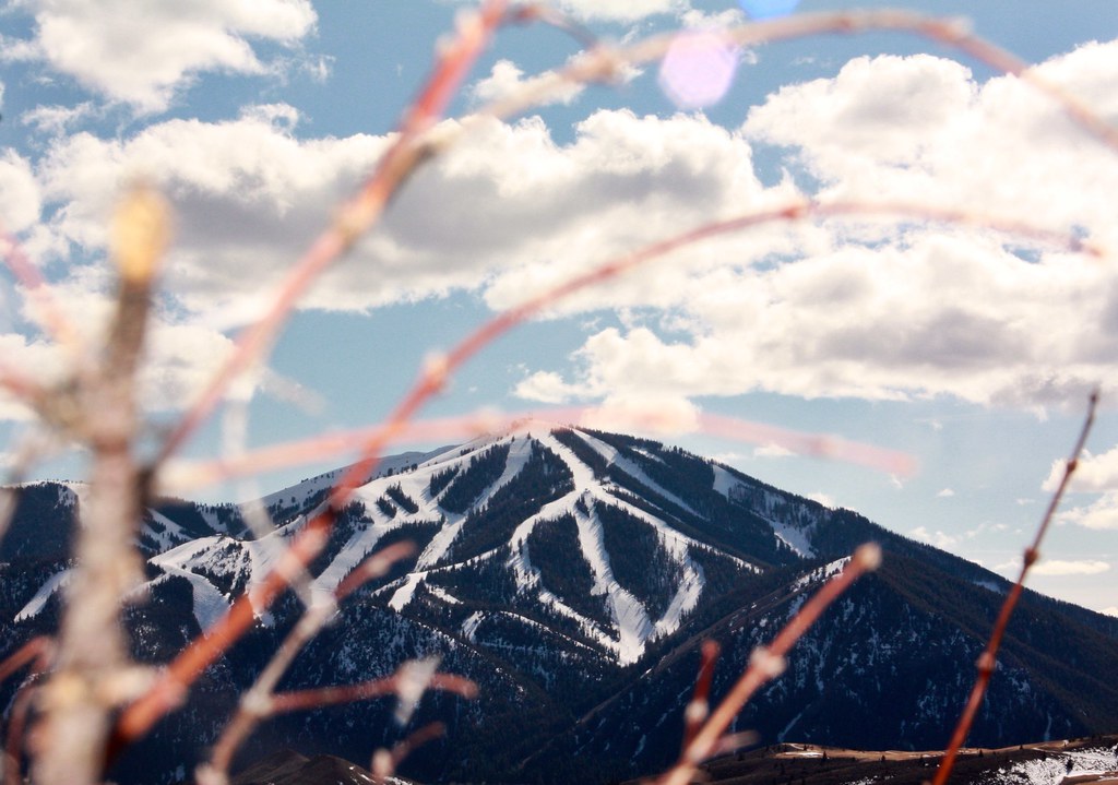 Photo: Chloé François, CC BY 2.0 (via Flickr)
Aspen Loop
~5 min drive
2.60-mile out-and-back trail in Idaho with 637 ft elevation gain.
HIKE
Harper's Trail
Next door
4.31-mile out-and-back hike in Idaho with 784 ft elevation gain.
HIKE
OSBERG RIDGELINE TRAIL
~12 min drive
22.56-mile out-and-back trail in Idaho with 6,112 ft elevation gain and 9,552 ft max elevation.
Photo: ArtBrom, CC BY-SA 2.0 (via Flickr)Proctor Mountain
~5 min drive
8.80-mile out-and-back hike to Proctor Mountain summit in Idaho with 1,097 ft gain.
Photo: ArtBrom, CC BY-SA 2.0 (via Flickr)Trail Creek
~5 min drive
2.11-mile out-and-back trail at Trail Creek in Idaho with 65 ft of elevation gain.
HIKE
Lake Creek Connector
~1 min drive
2.82-mile out-and-back trail in Idaho with 1,131 ft elevation gain
HIKE
Warfield South Fork Trail #151
~15 min drive
18.32-mile out-and-back trail in Idaho with 3,502 ft elevation gain and loss, reaching 8,276 ft.
 Photo: Matt Lavin, CC BY-SA 2.0 (via Flickr)
Easley Gulch Aka Curlies
~15 min drive
6.16-mile out-and-back trail in Idaho with 1,518 ft elevation gain.
 Photo: DieselDemon, CC BY 2.0 (via Flickr)
SOUTH BOULDER LOOP
~12 min drive
2.27-mile loop trail in Idaho with 249 ft gain and 274 ft loss.

