Road317-027
Campground
Campground · 4.6 mi from the trail
Closure in the area
There's a closure order in Nez Perce-Clearwater National Forest. It doesn't name FIRE CREEK RIDGE, so check the source for the area it covers (2 listed).
Updated 250 Road Closure
Agency closure covering Nez Perce-Clearwater National Forest · USFS · Nez Perce-Clearwater National Forest
Road 100 Closure
Agency closure covering Lochsa/Powell Ranger District · Order 01-17-55-26-004 · USFS · Lochsa/Powell Ranger District
NFSR 520 Reconstruction and Timber Harvest Closure
Agency alert covering Lochsa/Powell Ranger District · Order 01-17-55-26-003 · USFS · Lochsa/Powell Ranger District
Knife Edge Camping Partial Closure
Agency alert covering Lochsa/Powell Ranger District · Order 01-17-55-26-002 · USFS · Lochsa/Powell Ranger District
Laird Park Water Unavailable For 2026 Season
Agency alert covering Nez Perce-Clearwater National Forest · USFS · Nez Perce-Clearwater National Forest
As of · Source: USFS · Nez Perce-Clearwater National Forest. Agencies don't list every closure — check before you go.
Fire Creek Ridge is an out-and-back hike in Idaho's Nez Perce-Clearwater National Forest, within the Lochsa/Powell Ranger District. The route is about 9.4 miles long, with a total elevation gain of 3,263 feet, and it starts and ends at the high point of 6,484 feet. The climb is steep, with the steepest stretch at about 4.2 miles in, where the grade reaches 22 percent. The Forest Service manages the land. The hike is rated expert, and the trip takes about five hours. The route begins at the high point, so the first part is a descent to the low point of 4,575 feet before turning back. That makes the total gain and loss each about 3,263 feet. Nearby, Eagle Mountain is about 2.9 miles away and West Boyd Trail about 3 miles. Lodgepole Ridge is about 4.5 miles off, and Glover Creek campground is about 6.1 miles away.
Road317-027
Campground
Elk City Reno Club - Elk City Burger Bar
Burger restaurant
Martin Hot Springs
Hot spring
Places © OpenStreetMap contributors, Places © Overture Maps Foundation
More in Elk City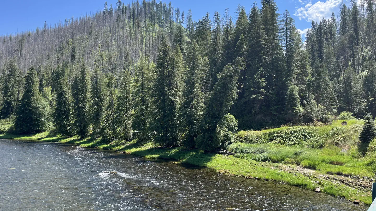 OharaRiver fishing8.9 mi
Source: Roamze catalog (indexable pages within 10 miles, PostGIS distance)
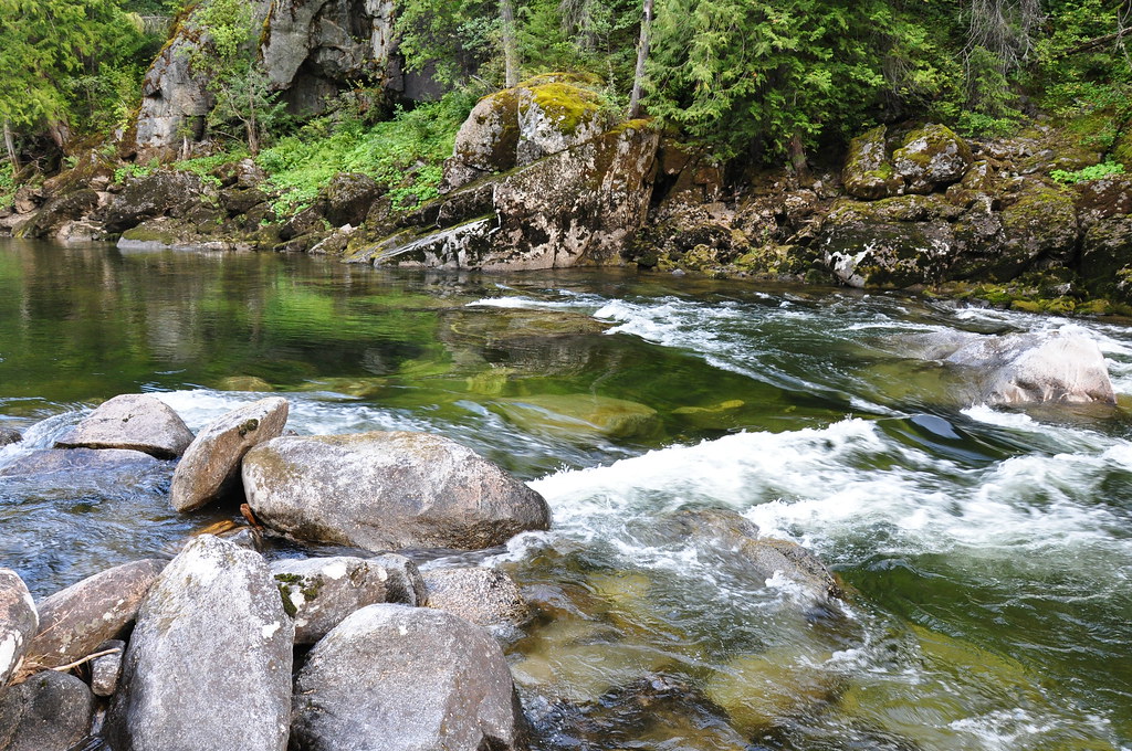 Selway River TrailHiking · ~18 min drivePhoto: araddon, CC BY 2.0 (via Flickr)
 Greenside Butte TrailHiking · ~20 min drivePhoto: Aaron, CC BY 2.0 (via Wikimedia Commons)CUPBOARD CREEKHiking · ~18 min drivePhoto: araddon, CC BY 2.0 (via Flickr)
 KERR CREEKHiking · ~18 min drivePhoto: davidwilson1949, CC BY 2.0 (via Flickr)
