Wild Goose Campground
Campground
Campground · 3.1 mi from the trail
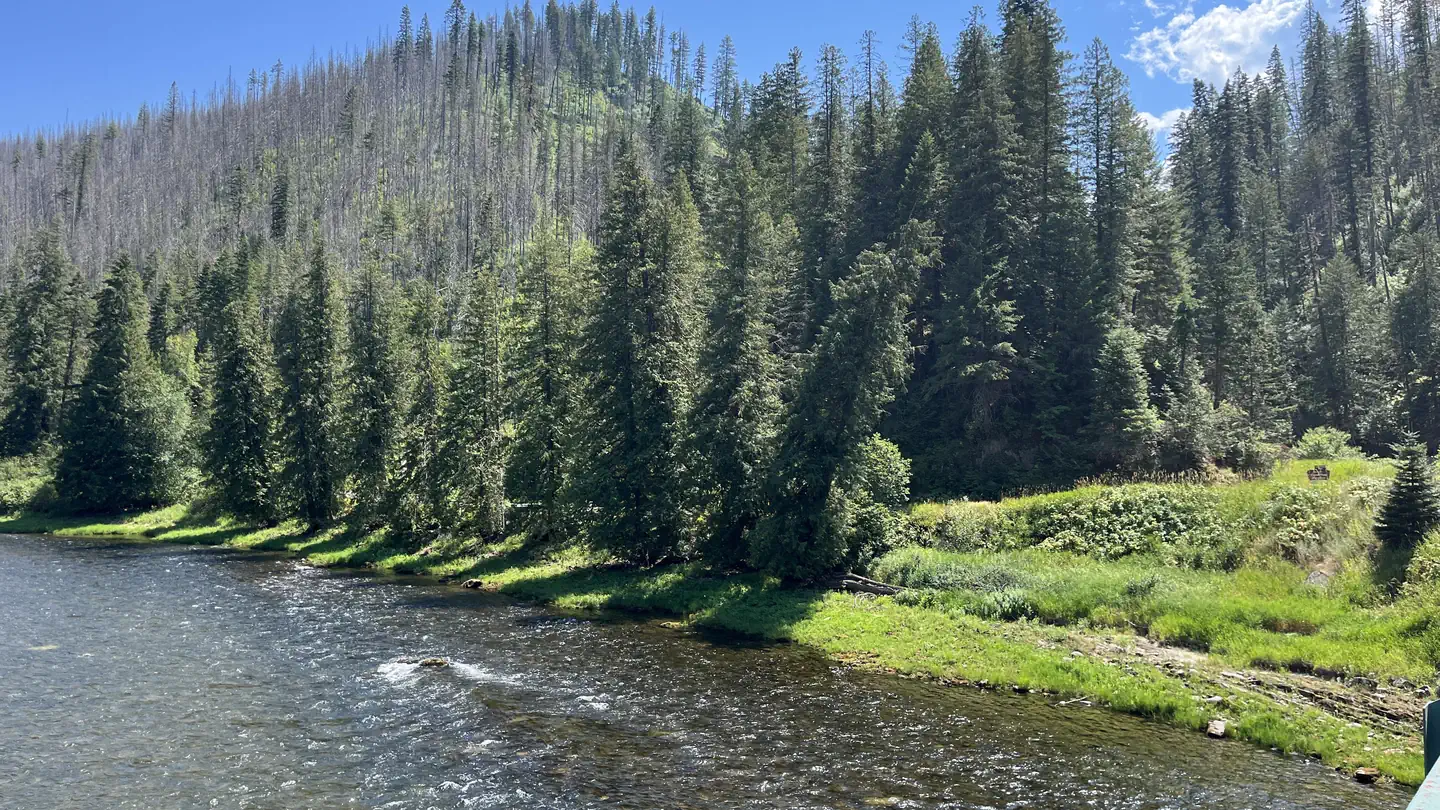
 Photo: davidwilson1949, CC BY 2.0 (via Flickr)
Closure in the area
There's a closure order in Nez Perce-Clearwater National Forest. It doesn't name KERR CREEK, so check the source for the area it covers (2 listed).
Updated 250 Road Closure
Agency closure covering Nez Perce-Clearwater National Forest · USFS · Nez Perce-Clearwater National Forest
Road 100 Closure
Agency closure covering Lochsa/Powell Ranger District · Order 01-17-55-26-004 · USFS · Lochsa/Powell Ranger District
NFSR 520 Reconstruction and Timber Harvest Closure
Agency alert covering Lochsa/Powell Ranger District · Order 01-17-55-26-003 · USFS · Lochsa/Powell Ranger District
Knife Edge Camping Partial Closure
Agency alert covering Lochsa/Powell Ranger District · Order 01-17-55-26-002 · USFS · Lochsa/Powell Ranger District
Laird Park Water Unavailable For 2026 Season
Agency alert covering Nez Perce-Clearwater National Forest · USFS · Nez Perce-Clearwater National Forest
As of · Source: USFS · Nez Perce-Clearwater National Forest. Agencies don't list every closure — check before you go.
Kerr Creek is an out-and-back hike in Idaho's Nez Perce-Clearwater National Forest, within the Lochsa/Powell Ranger District. The route is 9 miles long, with a total elevation gain of about 5,055 feet, and it is rated expert. The trail starts at 1,483 feet and climbs to a high point of 5,939 feet, with the steepest stretch at about 3.1 miles in, where the grade reaches 38 percent. The climb is front-loaded, so the hardest part comes early. The round trip is roughly 5.5 hours, and the Forest Service manages the land. Pete King Ridge Trail lies about 1.6 miles away, and Pete King Ridge is about 2.6 miles off. For an overnight base, Wild Goose Campground is about 3.1 miles away and Apgar Campground about 3.8 miles.
Wild Goose Campground
Campground
ELKHORN
Bar and grill restaurant
Places © Overture Maps Foundation
More in Elk City PETE KING RIDGEHikingPhoto: Rainhead, CC BY-SA 2.0 (via Flickr)2.6 mi
 OharaRiver fishing6.3 mi
Source: Roamze catalog (indexable pages within 10 miles, PostGIS distance)
PETE KING RIDGEHiking · ~4 min drivePhoto: Rainhead, CC BY-SA 2.0 (via Flickr)