Boyd Creek
Campground
Campground · < 0.1 mi from the trail
Closure in the area
There's a closure order in Nez Perce-Clearwater National Forest. It doesn't name East Boyd-Glover Roundtop NRT, so check the source for the area it covers.
Updated 250 Road Closure
Agency closure covering Nez Perce-Clearwater National Forest · USFS · Nez Perce-Clearwater National Forest
Selway Falls Campground Closure
Agency alert covering Moose Creek Ranger District · Order 01-17-06-26-003 · USFS · Moose Creek Ranger District
O'Hara Beach Area Closure
Agency alert covering Moose Creek Ranger District · Order 01-17-06-26-00 · USFS · Moose Creek Ranger District
Laird Park Water Unavailable For 2026 Season
Agency alert covering Nez Perce-Clearwater National Forest · USFS · Nez Perce-Clearwater National Forest
As of · Source: USFS · Nez Perce-Clearwater National Forest. Agencies don't list every closure — check before you go.
East Boyd-Glover Roundtop NRT is a hard out-and-back hike in Idaho's Nez Perce-Clearwater National Forest, within the Moose Creek Ranger District. The route climbs from a low point of about 1,636 feet to a high of 6,807 feet, with a total elevation gain of about 9,061 feet over a distance of roughly 43 miles. The trail is managed by the Forest Service, and the Boyd Creek campground sits just 0.1 mile from the start. The route is long and steep, and it works well for riders and pack animals. Bikes and horses are both allowed, so the trail can be approached on foot, on horseback or on a bike. The 23 Mile Trail lies about 1.6 miles away, and the Stillman Ridge Trail and the O' Hara Campground Nature Trail are each about 3.2 miles off. Glover Creek campground is about 4 miles away.
Boyd Creek
Campground
Elk City Reno Club - Elk City Burger Bar
Burger restaurant
Martin Hot Springs
Hot spring
Places © OpenStreetMap contributors, Places © Overture Maps Foundation
More in Elk City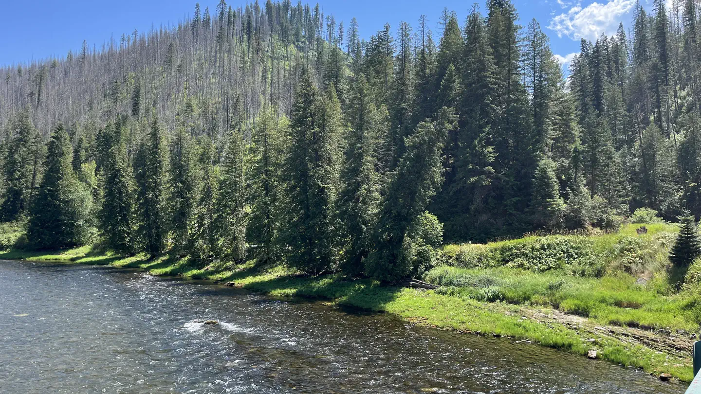 OharaRiver fishing3.4 mi
Source: Roamze catalog (indexable pages within 10 miles, PostGIS distance)
 KERR CREEKHiking · ~15 min drivePhoto: davidwilson1949, CC BY 2.0 (via Flickr)
 PETE KING RIDGEHiking · ~17 min drivePhoto: Rainhead, CC BY-SA 2.0 (via Flickr)
Map and trail data © OpenStreetMap contributors
