O'Hara Campground
Campground
Campground · < 0.1 mi from the trail
Closure in the area
There's a closure order in Nez Perce-Clearwater National Forest. It doesn't name O' Hara Campground Nature Trail, so check the source for the area it covers.
Updated 250 Road Closure
Agency closure covering Nez Perce-Clearwater National Forest · USFS · Nez Perce-Clearwater National Forest
Selway Falls Campground Closure
Agency alert covering Moose Creek Ranger District · Order 01-17-06-26-003 · USFS · Moose Creek Ranger District
O'Hara Beach Area Closure
Agency alert covering Moose Creek Ranger District · Order 01-17-06-26-00 · USFS · Moose Creek Ranger District
Laird Park Water Unavailable For 2026 Season
Agency alert covering Nez Perce-Clearwater National Forest · USFS · Nez Perce-Clearwater National Forest
As of · Source: USFS · Nez Perce-Clearwater National Forest. Agencies don't list every closure — check before you go.
O'Hara Campground Nature Trail is a moderate hike of about 0.9 miles in the Moose Creek Ranger District of the Nez Perce-Clearwater National Forest in Idaho, managed by the Forest Service. The trail is an out-and-back, starting at about 1,680 feet and climbing to about 1,759 feet, with a total gain of about 1,045 feet for the round trip. The steepest stretch comes at about 0.4 miles in, with a grade of about 21%. Summer is the most comfortable time to go. Typical averages from a nearby weather station show July and August highs around 90°F with only about five or six wet days a month, while winter brings highs in the mid-30s and rain on most days. The trail sits close to several other outings. Stillman Ridge Trail and the O'Hara Nature Loop are each about 0.1 mile away, and the Ohara river fishing spot is about 0.2 mile off. For an overnight stay, Johnson Bar Group Site is about 2.7 miles away.
O'Hara Campground
Campground
ELKHORN
Bar and grill restaurant
Martin Hot Springs
Hot spring
Places © OpenStreetMap contributors, Places © Overture Maps Foundation
More in Elk City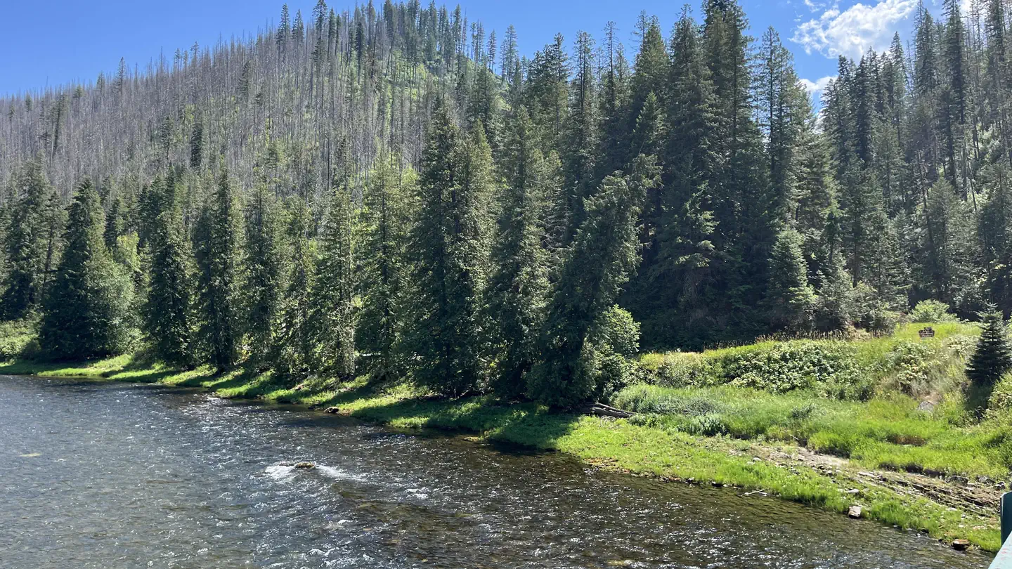 OharaRiver fishing0.2 mi
Source: Roamze catalog (indexable pages within 10 miles, PostGIS distance)
 KERR CREEKHiking · ~11 min drivePhoto: davidwilson1949, CC BY 2.0 (via Flickr)
 PETE KING RIDGEHiking · ~12 min drivePhoto: Rainhead, CC BY-SA 2.0 (via Flickr)
Best months: June and September. Best months have typical highs of 55–85 °F, lows of 30 °F or warmer (32 °F where the station doesn't record snow), at most one snowy day and no more than 12 wet days.
Jan
36° / 26°
18 wet
Feb
43° / 28°
16 wet
Mar
52° / 31°
18 wet
Apr
61° / 36°
17 wet
May
72° / 42°
15 wet
Jun
78° / 48°
12 wet
Jul
90° / 53°
6 wet
Aug
90° / 52°
5 wet
Sep
78° / 45°
7 wet
Oct
61° / 38°
13 wet
Nov
44° / 31°
17 wet
Dec
36° / 27°
18 wet
Typical high / low (°F) and days with rain or snow, 1991–2020. Measured at Fenn Rs, ID, 1.3 mi away at 1,560 ft. This station doesn't record snowfall. Source: NOAA NCEI U.S. Climate Normals 1991–2020.
Map and trail data © OpenStreetMap contributors
