Road317-027
Campground
Campground · 2.1 mi from the trail
Closure in the area
There's a closure order in Nez Perce-Clearwater National Forest. It doesn't name EAGLE MOUNTAIN, so check the source for the area it covers (2 listed).
Updated 250 Road Closure
Agency closure covering Nez Perce-Clearwater National Forest · USFS · Nez Perce-Clearwater National Forest
Road 100 Closure
Agency closure covering Lochsa/Powell Ranger District · Order 01-17-55-26-004 · USFS · Lochsa/Powell Ranger District
NFSR 520 Reconstruction and Timber Harvest Closure
Agency alert covering Lochsa/Powell Ranger District · Order 01-17-55-26-003 · USFS · Lochsa/Powell Ranger District
Knife Edge Camping Partial Closure
Agency alert covering Lochsa/Powell Ranger District · Order 01-17-55-26-002 · USFS · Lochsa/Powell Ranger District
Laird Park Water Unavailable For 2026 Season
Agency alert covering Nez Perce-Clearwater National Forest · USFS · Nez Perce-Clearwater National Forest
As of · Source: USFS · Nez Perce-Clearwater National Forest. Agencies don't list every closure — check before you go.
Eagle Mountain is a long, steep hike in Idaho's Nez Perce-Clearwater National Forest, within the Lochsa/Powell Ranger District. The route is a point-to-point trail of about 43 miles, with a high point of 7,281 feet and a total elevation gain of 6,505 feet. It is an expert-level route, and the trip is estimated to take about 17.5 hours. The trail starts at an elevation of about 6,535 feet and ends at a low point of about 2,626 feet, so the climb is only part of the story. The descent is roughly twice as long as the ascent, with a total loss of about 10,414 feet. The West Boyd Trail lies just 0.2 miles away, and the Rackliff Trail and Lodgepole Ridge are both within about 3 miles. For an overnight base, Boyd Creek campground is about 4.3 miles off.
Road317-027
Campground
Elk City Reno Club - Elk City Burger Bar
Burger restaurant
Martin Hot Springs
Hot spring
Places © OpenStreetMap contributors, Places © Overture Maps Foundation
More in Elk City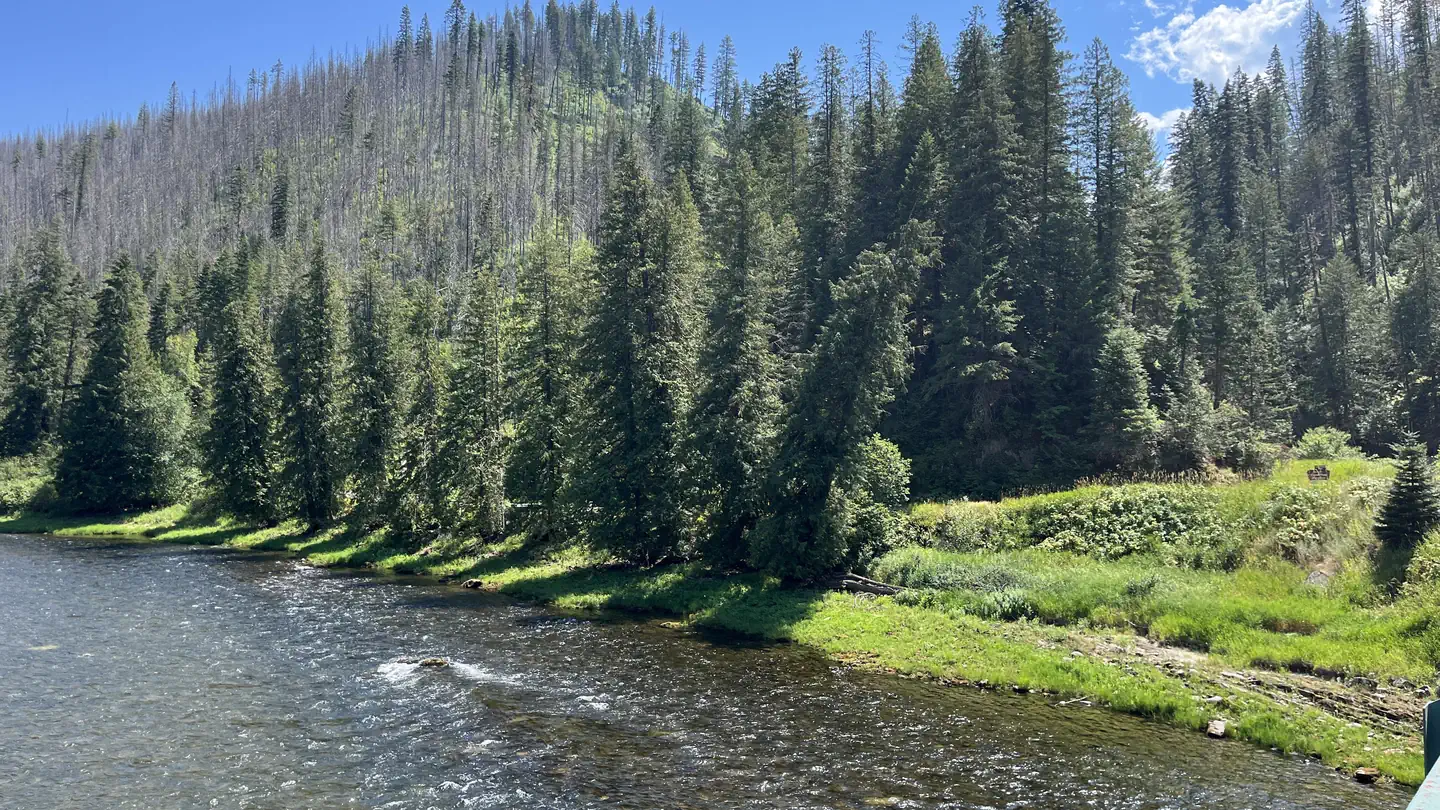 OharaRiver fishing6.1 mi
Source: Roamze catalog (indexable pages within 10 miles, PostGIS distance)
 KERR CREEKHiking · ~14 min drivePhoto: davidwilson1949, CC BY 2.0 (via Flickr)
 PETE KING RIDGEHiking · ~17 min drivePhoto: Rainhead, CC BY-SA 2.0 (via Flickr)
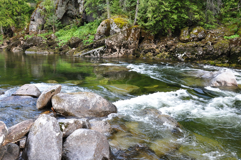 Selway River TrailHiking · ~21 min drivePhoto: araddon, CC BY 2.0 (via Flickr)CUPBOARD CREEKHiking · ~21 min drivePhoto: araddon, CC BY 2.0 (via Flickr)
