Emigrant Trail
- 1.9 mi
- round trip
- 528 ft
- climb
- 2,521 ft
- high point
- Out and back
- route
- Mar–Jun, Sep–Oct
- best months
The Emigrant Trail is an easy out-and-back hike on Bureau of Land Management land in Idaho's Four Rivers Field Office. It covers a round trip of about 3.9 miles with a total elevation gain of about 528 feet, and the route starts and ends around 2,510 feet, with a high point near 2,521 feet. The most comfortable stretch is late spring and early fall. Typical averages from a nearby weather station at Swan Falls show May highs around 75°F and October highs around 68°F, while July and August average in the low 90s. The climb is gentle overall, with the steepest grade of about 8% near the 0.6-mile mark. Plan on about 1.5 hours for the trip. The trail lies on land managed by the Bureau of Land Management. Climbers will find several areas within about 6 miles, including Bad Ass Boulder Area and Swan Falls. The Dedication Point Interpretive Trail is about 7.7 miles away.
Local outfitters
- Lake Point Campground39 mi away
Not on Roamze yet. Their page has how to reach them.
- Bad Ass Boulder AreaRock climbing5.9 mi
- The Taj MahalRock climbing5.9 mi
- Spice Girls AreaRock climbing5.9 mi
 Swan FallsRock climbingPhoto: cifraser1, CC BY 2.0 (via Flickr)5.9 mi
- Hairpin BouldersRock climbing5.9 mi
- Black Slabbath AreaRock climbing7.1 mi
- Dedication Point Interpretive TrailHiking7.7 mi
Source: Roamze catalog (indexable pages within 10 miles, PostGIS distance)
 Halverson Lake TrailHiking · ~18 min drivePhoto: cifraser1, CC BY 2.0 (via Flickr)
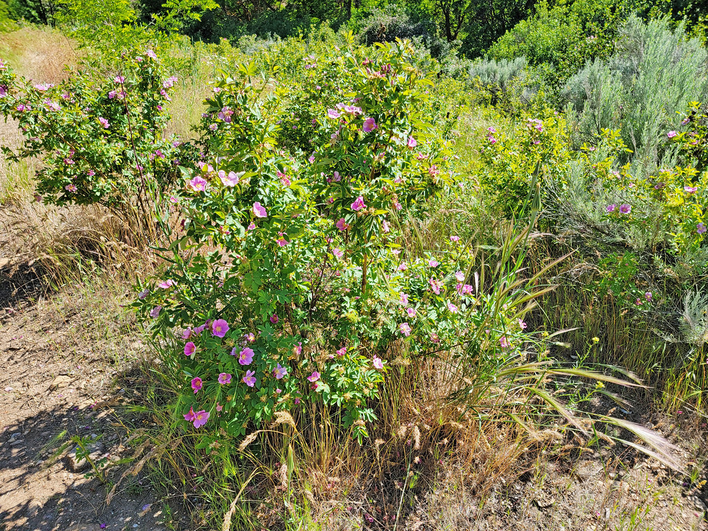 Route of the Oregon TrailHiking · ~50 min drivePhoto: AndreyZharkikh, CC BY 2.0 (via Flickr)
 Joel Palmer TrailHiking · ~51 min drivePhoto: waterarchives, CC BY-SA 2.0 (via Flickr)
 Guffey Butte TrailHiking · ~20 min drivePhoto: Thayne Tuason, CC BY-SA 4.0 (via Wikimedia Commons)
- UnknownHiking · ~40 min drive
- Guffey Butte RidgeHiking · ~20 min drivePhoto: Thayne Tuason, CC BY-SA 4.0 (via Wikimedia Commons)
 Fitness TrailHiking · ~48 min drivePhoto: capitalist_b, CC BY 2.0 (via Flickr)
- Emigrant TrailHiking · ~9 min drive
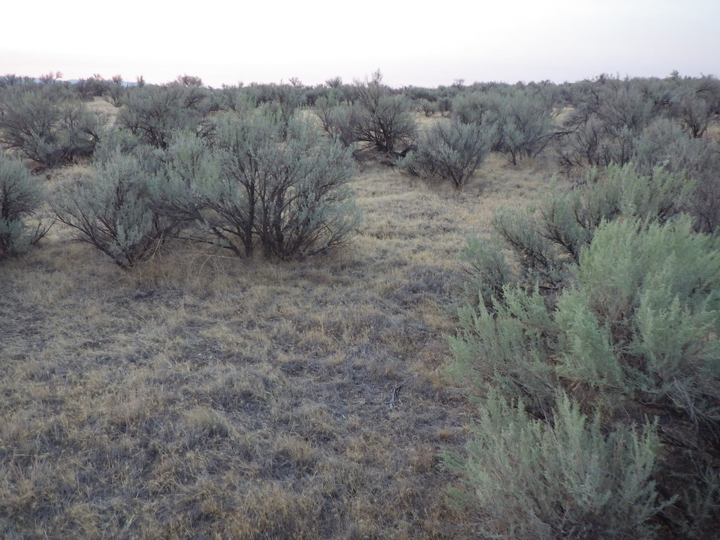 Oregon TrailHiking · ~50 min drivePhoto: Matt Lavin, CC BY-SA 2.0 (via Flickr)
- Scotch Bob Creek TrailHiking · ~30 min drive
Best time to visit Emigrant Trail
Best months: March–June and September–October. Best months have typical highs of 55–85 °F, lows of 30 °F or warmer (32 °F where the station doesn't record snow), at most one snowy day and no more than 12 wet days.
Jan
42° / 26°
9 wet
Feb
49° / 29°
7 wet
Mar
59° / 36°
8 wet
Apr
66° / 41°
8 wet
May
75° / 50°
8 wet
Jun
84° / 57°
5 wet
Jul
95° / 65°
2 wet
Aug
93° / 63°
2 wet
Sep
83° / 53°
3 wet
Oct
68° / 42°
5 wet
Nov
52° / 31°
7 wet
Dec
42° / 26°
9 wet
Typical high / low (°F) and days with rain or snow, 1991–2020. Measured at Swan Falls Ph, ID, 5.5 mi away at 2,325 ft. This station doesn't record snowfall. Source: NOAA NCEI U.S. Climate Normals 1991–2020.
Map and trail data © OpenStreetMap contributors
