Guffey Butte Trail
 Photo: Thayne Tuason, CC BY-SA 4.0 (via Wikimedia Commons)
- 1.2 mi
- round trip
- 895 ft
- climb
- 3,108 ft
- high point
- Out and back
- route
- Mar–Jun, Sep–Oct
- best months
Guffey Butte Trail is an easy, out-and-back hike of about 2.5 miles that gains roughly 833 feet to reach a high point of 3,108 feet on state land in Idaho. The trail starts at about 2,324 feet, and the steepest stretch comes within the first few tenths of a mile, where the grade reaches about 24 percent. The climb is front-loaded, and the route drops back to the starting elevation on the return. The most comfortable time to go is in late spring or early fall. Typical averages from a nearby weather station run to highs around 75°F in May and 83°F in September, while July and August average highs near 95°F. That station sits about 783 feet lower than the trail, so expect temperatures on the butte to run somewhat cooler. The trail is managed by the State Department of Land, and the trip is estimated to take about 1.5 hours. Guffey Butte Ridge lies just 0.1 mile away, and Halverson Lake Trail is about a mile off. Halverson Bar/Lake, a lake fishing spot, is about 1.9 miles away. Climbers can head to Black Slabbath Area, roughly 7 miles from the trail.
Local outfitters
- Lake Point Campground28 mi away
Not on Roamze yet. Their page has how to reach them.
Conditions and forecast on Guffey Butte
Daily highs and lows, wind and the chance of precipitation at the summit and route start for the next 7 days, from the Open-Meteo model.
- Guffey Butte RidgeHikingPhoto: Thayne Tuason, CC BY-SA 4.0 (via Wikimedia Commons)0.1 mi
 Halverson Lake TrailHikingPhoto: cifraser1, CC BY 2.0 (via Flickr)1.1 mi
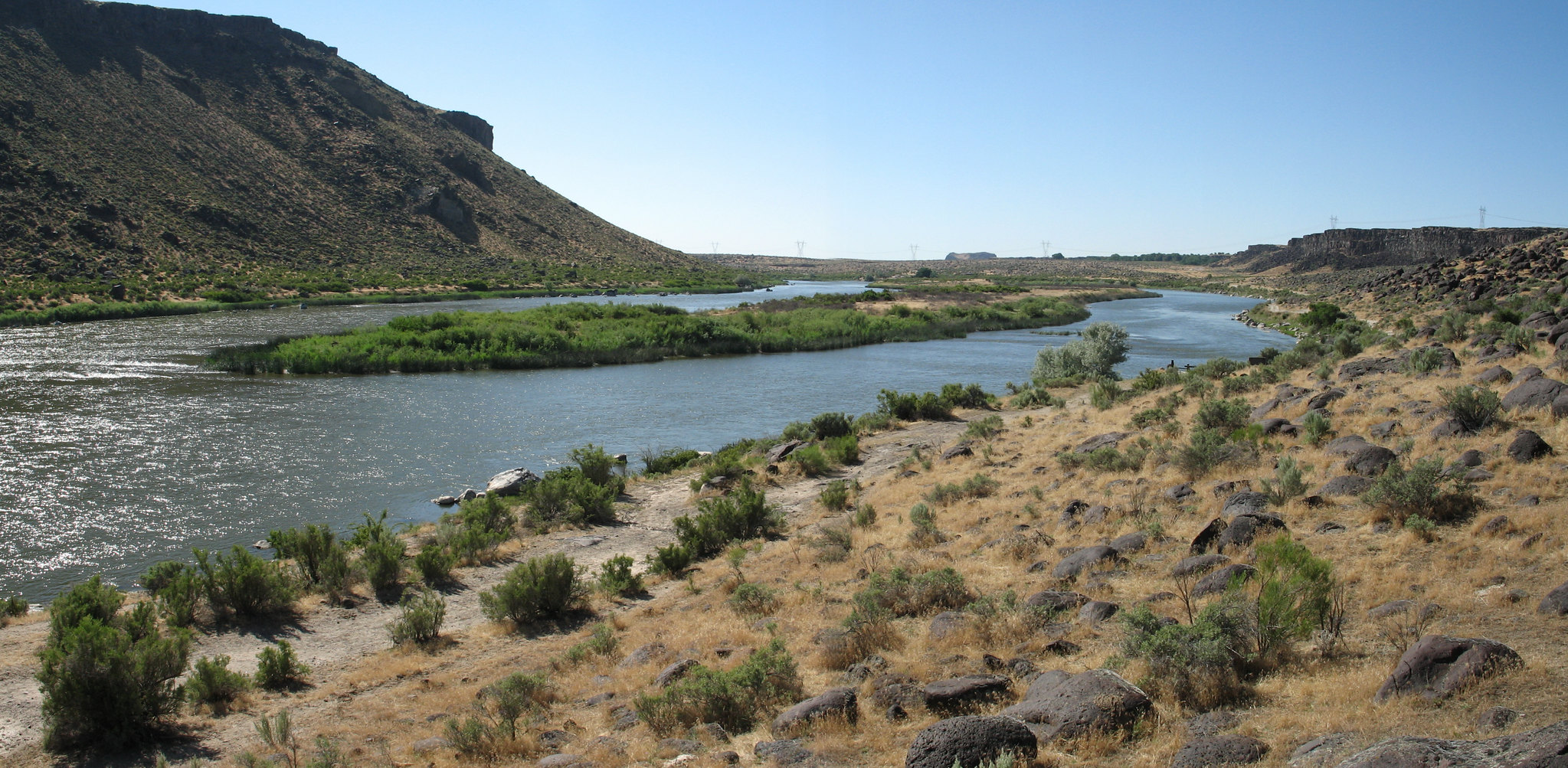 Halverson Bar/LakeLake fishing1.9 mi
- Black Slabbath AreaRock climbing6.9 mi
- Dedication Point Interpretive TrailHiking7 mi
 Swan FallsRock climbingPhoto: cifraser1, CC BY 2.0 (via Flickr)8.2 mi
- Hairpin BouldersRock climbing8.3 mi
- Bad Ass Boulder AreaRock climbing8.4 mi
Source: Roamze catalog (indexable pages within 10 miles, PostGIS distance)
- Halverson Lake TrailHiking · ~2 min drivePhoto: cifraser1, CC BY 2.0 (via Flickr)
 Joel Palmer TrailHiking · ~47 min drivePhoto: waterarchives, CC BY-SA 2.0 (via Flickr)
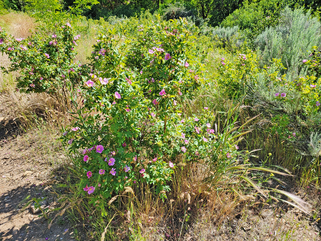 Route of the Oregon TrailHiking · ~47 min drivePhoto: AndreyZharkikh, CC BY 2.0 (via Flickr)
 Swallow Nest TrailHiking · ~33 min drivePhoto: cifraser1, CC BY 2.0 (via Flickr)
- Guffey Butte RidgeHiking · Next doorPhoto: Thayne Tuason, CC BY-SA 4.0 (via Wikimedia Commons)
- UnknownHiking · ~21 min drive
- Sagebrush TrailHiking · ~33 min drivePhoto: cifraser1, CC BY 2.0 (via Flickr)
- Emigrant TrailHiking · ~28 min drive
- Nature TrailHiking · ~33 min drivePhoto: cifraser1, CC BY 2.0 (via Flickr)
- Scotch Bob Creek TrailHiking · ~34 min drive
Best time to visit Guffey Butte Trail
Best months: March–June and September–October. Best months have typical highs of 55–85 °F, lows of 30 °F or warmer (32 °F where the station doesn't record snow), at most one snowy day and no more than 12 wet days.
Jan
42° / 26°
9 wet
Feb
49° / 29°
7 wet
Mar
59° / 36°
8 wet
Apr
66° / 41°
8 wet
May
75° / 50°
8 wet
Jun
84° / 57°
5 wet
Jul
95° / 65°
2 wet
Aug
93° / 63°
2 wet
Sep
83° / 53°
3 wet
Oct
68° / 42°
5 wet
Nov
52° / 31°
7 wet
Dec
42° / 26°
9 wet
Typical high / low (°F) and days with rain or snow, 1991–2020. Measured at Swan Falls Ph, ID, 8.5 mi away at 2,325 ft. The station sits about 800 ft lower than this place, so expect it a little cooler here. This station doesn't record snowfall. Source: NOAA NCEI U.S. Climate Normals 1991–2020.
Route details
- Distance
- 1.2 mi round trip
- Climbing
- About 895 ft
- Summit
- 3,114 ft
- Difficulty
- Easy
- Time
- About 1 hour
Questions about this route
How long is the Guffey Butte Trail on Guffey Butte?
About 1.2 mi round trip.
How much elevation gain is on the Guffey Butte Trail?
About 895 ft of climbing round trip.
How hard is the Guffey Butte Trail?
It is rated easy.
How long does the Guffey Butte Trail take?
About 1 hour round trip.
Map and trail data © OpenStreetMap contributors
