Robie Creek Park Group Shelter
Campground
The next 6 weekends are full on Recreation.gov
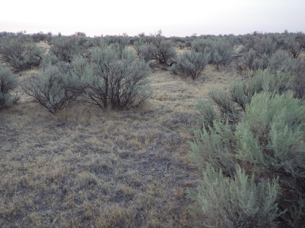 Photo: Matt Lavin, CC BY-SA 2.0 (via Flickr)
The Oregon Trail is an easy, out-and-back hike of about 3.4 miles on Bureau of Land Management land in the Four Rivers Field Office in Idaho. The route starts near 3,087 feet and climbs steadily to a high point of 3,120 feet, with the steepest stretch around mile 1.2 at about a 5% grade. The total elevation gain is 427 feet, and the round trip ends where it began. Spring and fall are the most comfortable times to go. Typical averages from the Boise Lucky Peak Dam weather station, about 4 miles away, put May highs near 74°F and September highs near 81°F, while July averages around 93°F. The trail makes an easy pairing with other nearby routes. The #102 Rim Trail is about 0.7 miles away, and the #101 Basalt Trail and Sara Sutton Trail are each about 0.8 miles off. Climbers can find the Green Acres area roughly 1.8 miles away.
Robie Creek Park Group Shelter
Campground
 If it rainsTamanoeconomico, CC BY-SA 4.0 · Wikimedia Commons
Joseph Bown House
Museum
Places © OpenStreetMap contributors, Places © Overture Maps Foundation · Photos: Tamanoeconomico, CC BY-SA 4.0 (commons)
More in Idaho CityNot on Roamze yet. Their page has how to reach them.
 Green AcresRock climbingPhoto: cifraser1, CC BY 2.0 (via Flickr)1.8 mi
Source: Roamze catalog (indexable pages within 10 miles, PostGIS distance)
 Kelton Freight TrailHiking · ~2 min drivePhoto: waterarchives, CC BY-SA 2.0 (via Flickr)Joel Palmer TrailHiking · ~3 min drivePhoto: waterarchives, CC BY-SA 2.0 (via Flickr)
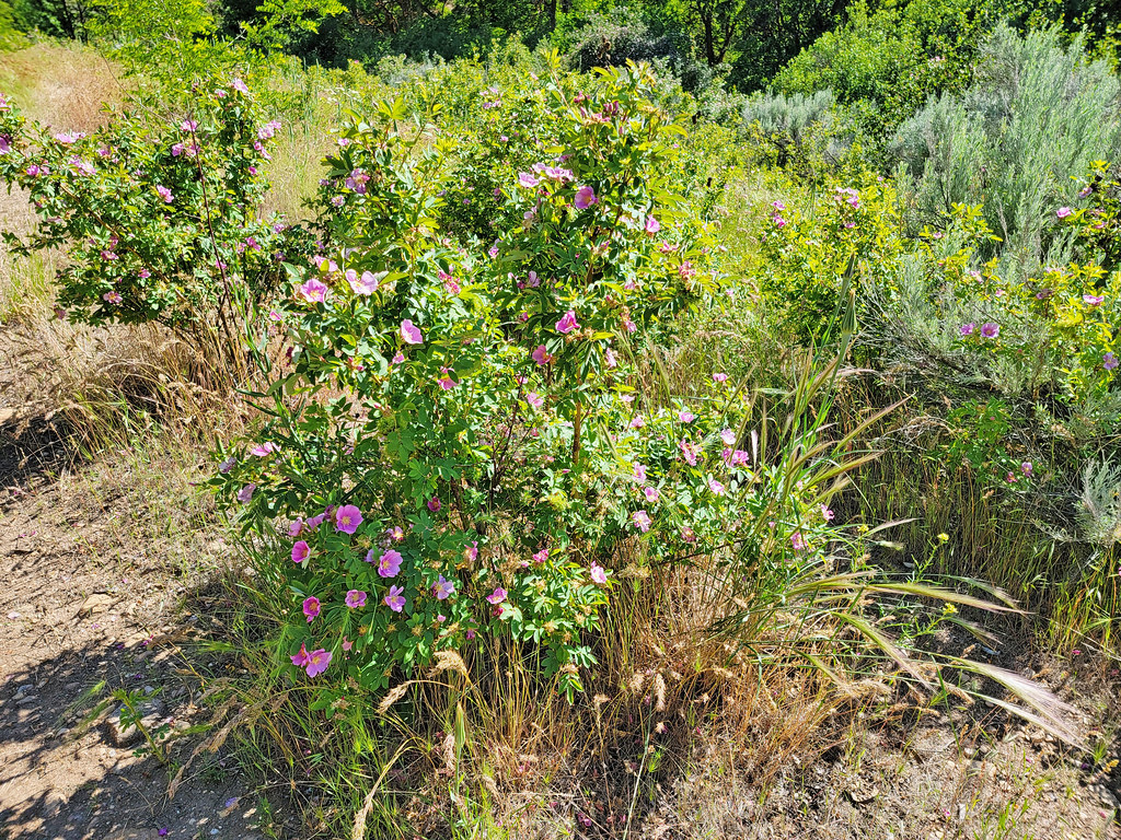 Route of the Oregon TrailHiking · ~7 min drivePhoto: AndreyZharkikh, CC BY 2.0 (via Flickr)#101 Basalt TrailHiking · ~2 min drivePhoto: waterarchives, CC BY-SA 2.0 (via Flickr)
 Fitness TrailHiking · ~2 min drivePhoto: capitalist_b, CC BY 2.0 (via Flickr)
 Ezra Meeker LoopHiking · ~3 min drivePhoto: cifraser1, CC BY 2.0 (via Flickr)
Best months: March–June and September–October. Best months have typical highs of 55–85 °F, lows of 30 °F or warmer (32 °F where the station doesn't record snow), at most one snowy day and no more than 12 wet days.
Jan
40° / 26°
Feb
46° / 27°
Mar
56° / 33°
Apr
63° / 37°
May
74° / 45°
Jun
82° / 51°
Jul
93° / 59°
Aug
91° / 58°
Sep
81° / 50°
Oct
67° / 41°
Nov
50° / 32°
Dec
40° / 25°
Typical high / low (°F) and days with rain or snow, 1991–2020. Measured at Boise Lucky Peak Dam, ID, 4 mi away at 2,840 ft. This station doesn't record snowfall. Source: NOAA NCEI U.S. Climate Normals 1991–2020.
Map and trail data © OpenStreetMap contributors

