Fitness Trail
 Photo: capitalist_b, CC BY 2.0 (via Flickr)
- 0.4 mi
- round trip
- 36 ft
- climb
- 3,070 ft
- high point
- Out and back
- route
- Mar–Jun, Sep–Oct
- best months
Fitness Trail is a short, easy out-and-back hike in Idaho, about 3 miles from the town of Barber. The route is only about 0.7 miles long, with a total climb of 36 feet, so it's a quick stop for anyone passing through the area. The trail is nearly flat, with the high point at 3,070 feet and the low point at 3,060 feet. It's a low-effort walk that pairs well with a longer outing in the surrounding area. For comfortable weather, aim for late spring or early fall. Typical averages from a nearby weather station show May highs around 74°F and September highs around 81°F, while July averages climb to about 93°F. Several other trails sit within a couple of miles, including the Oregon Trail, the Sara Sutton Trail and the Kelton Freight Trail. Climbers can head to Green Acres, about 2.4 miles away.
Local outfitters
- Lake Point Campground29 mi away
- Riverpond Campground41 mi away
Not on Roamze yet. Their page has how to reach them.
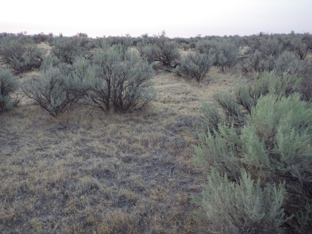 Oregon TrailHikingPhoto: Matt Lavin, CC BY-SA 2.0 (via Flickr)1.2 mi
- Sara Sutton TrailHiking1.7 mi
 Kelton Freight TrailHikingPhoto: waterarchives, CC BY-SA 2.0 (via Flickr)1.9 mi
- #102 Rim TrailHiking1.9 mi
 Green AcresRock climbingPhoto: cifraser1, CC BY 2.0 (via Flickr)2.4 mi
- The Dark SideRock climbing2.4 mi
- Short CliffsRock climbing2.6 mi
- Boise RiverRiver fishing2.9 mi
Source: Roamze catalog (indexable pages within 10 miles, PostGIS distance)
- Oregon TrailHiking · ~2 min drivePhoto: Matt Lavin, CC BY-SA 2.0 (via Flickr)
- Joel Palmer TrailHiking · ~4 min drivePhoto: waterarchives, CC BY-SA 2.0 (via Flickr)
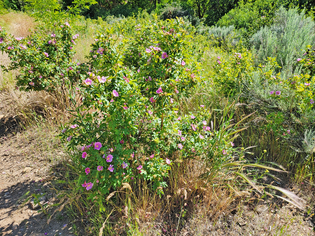 Route of the Oregon TrailHiking · ~6 min drivePhoto: AndreyZharkikh, CC BY 2.0 (via Flickr)
- Kelton Freight TrailHiking · ~3 min drivePhoto: waterarchives, CC BY-SA 2.0 (via Flickr)
- #108 Harris Ridge TrailHiking · ~6 min drive
- Adleman Mine TrailHiking · ~12 min drive
- #101 Basalt TrailHiking · ~4 min drivePhoto: waterarchives, CC BY-SA 2.0 (via Flickr)
- Boulder Point to Quarry RidgeHiking · ~7 min drive
 Ezra Meeker LoopHiking · ~4 min drivePhoto: cifraser1, CC BY 2.0 (via Flickr)
- Turner RidgeHiking · ~8 min drive
Best time to visit Fitness Trail
Best months: March–June and September–October. Best months have typical highs of 55–85 °F, lows of 30 °F or warmer (32 °F where the station doesn't record snow), at most one snowy day and no more than 12 wet days.
Jan
40° / 26°
Feb
46° / 27°
Mar
56° / 33°
Apr
63° / 37°
May
74° / 45°
Jun
82° / 51°
Jul
93° / 59°
Aug
91° / 58°
Sep
81° / 50°
Oct
67° / 41°
Nov
50° / 32°
Dec
40° / 25°
Typical high / low (°F) and days with rain or snow, 1991–2020. Measured at Boise Lucky Peak Dam, ID, 4.4 mi away at 2,840 ft. This station doesn't record snowfall. Source: NOAA NCEI U.S. Climate Normals 1991–2020.

Map and trail data © OpenStreetMap contributors
