Daly Creek
- 5.1 mi
- round trip
- 2,236 ft
- climb
- 7,494 ft
- high point
- Out and back
- route
- Jun–Sep
- best months
Is DALY CREEK open right now?
Alert in the area
The Forest Service lists an alert for Salmon-Challis National Forest.
Stoddard Bridge Construction Closure
Agency alert covering Salmon-Challis National Forest · Order 0413-07-17 · USFS · Salmon-Challis National Forest
As of · Source: USFS · Salmon-Challis National Forest. Agencies don't list every closure — check before you go.
Daly Creek is a hard out-and-back hike in Idaho's Salmon-Cobalt Ranger District, part of the Salmon-Challis National Forest. The route is about 10 miles long, with a total elevation gain of 2,236 feet, and it starts and ends at about 6,530 feet. The high point is 7,494 feet, and the climb is front-loaded, with the steepest stretch at about 1.6 miles into the hike, where the grade reaches 17 percent. Summer is the most comfortable time to go. Typical averages from a nearby weather station in Jackson, Montana, run to highs around 77°F in July with lows near 42°F. That station sits roughly 1,000 feet below the trail, so temperatures on the route run cooler. Winter is harsh, with January highs around 28°F and lows near 8°F. The trip takes about 4.5 hours. Gannett Creek and Little Moose Creek are both within a mile and a half. Wallace Lake Campground is about 5 miles away, and Salmon Idaho Bouldering is about 5.5 miles away for climbers.
- Gannett CreekHiking1.2 mi
- LITTLE MOOSE CREEKHiking1.4 mi
- Lower MooseHiking2.2 mi
- Wallace Lake CampgroundCamping4.9 mi
- Salmon Idaho BoulderingRock climbing5.5 mi
- Tower Rock CampgroundCamping6.4 mi
- Morgan Bar CampgroundCamping7.7 mi
- Peña BoulderRock climbing8.2 mi
Source: Roamze catalog (indexable pages within 10 miles, PostGIS distance)
 Burns GulchHiking · ~11 min drivePhoto: WaterArchives.org from Sacramento, California, USA, CC BY-SA 2.0 (via Wikimedia Commons)
- WagonhammerHiking · ~11 min drivePhoto: WaterArchives.org from Sacramento, California, USA, CC BY-SA 2.0 (via Wikimedia Commons)
- Gannett CreekHiking · ~2 min drive
- Carl GulchHiking · ~19 min drive
 Interpretive TrailHiking · ~22 min drivePhoto: WaterArchives.org from Sacramento, California, USA, CC BY-SA 2.0 (via Wikimedia Commons)
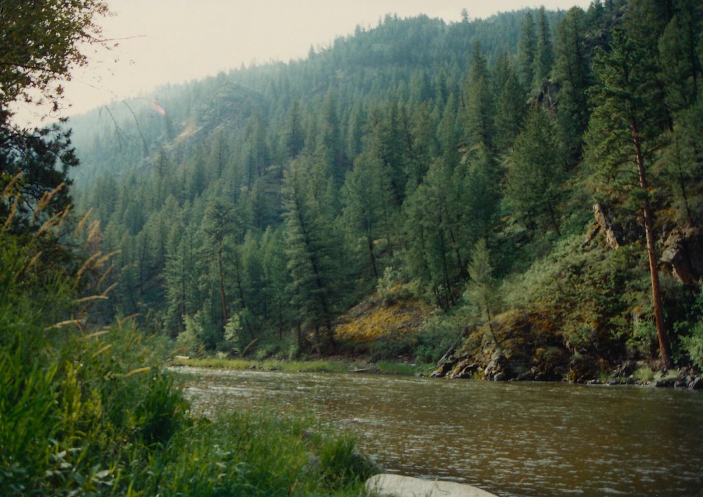 Boulder BasinHiking · ~21 min drivePhoto: roy.luck, CC BY 2.0 (via Flickr)
- Brushy GulchHiking · ~7 min drive
- Bird CreekHiking · ~4 min drive
- Lemhi RIver TrailHiking · ~23 min drivePhoto: WaterArchives.org from Sacramento, California, USA, CC BY-SA 2.0 (via Wikimedia Commons)
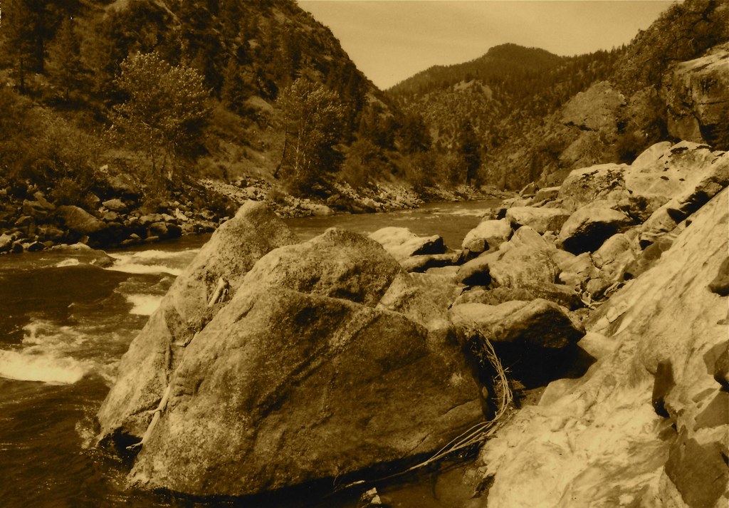 Stormy Pk.-VirginiaHiking · ~23 min drivePhoto: roy.luck, CC BY 2.0 (via Flickr)
Best time to visit DALY CREEK
Best months: June–September. Best months have typical highs of 55–85 °F, lows of 30 °F or warmer (32 °F where the station doesn't record snow), at most one snowy day and no more than 12 wet days.
Jan
28° / 8°
6 wet
Feb
31° / 8°
6 wet
Mar
39° / 16°
8 wet
Apr
46° / 23°
9 wet
May
57° / 31°
10 wet
Jun
66° / 37°
9 wet
Jul
77° / 42°
6 wet
Aug
76° / 39°
5 wet
Sep
66° / 32°
4 wet
Oct
51° / 25°
5 wet
Nov
36° / 14°
7 wet
Dec
27° / 7°
7 wet
Typical high / low (°F) and days with rain or snow, 1991–2020. Measured at Jackson, MT, 30.9 mi away at 6,480 ft. The station sits about 1,000 ft lower than this place, so expect it a little cooler here. This station doesn't record snowfall. Source: NOAA NCEI U.S. Climate Normals 1991–2020.
