Cabin - Thunderbolt
- 3.3 mi
- round trip
- 1,328 ft
- climb
- 7,882 ft
- high point
- Out and back
- route
Is Cabin - Thunderbolt open right now?
Closure in the area
There's a closure order in Boise National Forest. It doesn't name Cabin - Thunderbolt, so check the source for the area it covers.
UPDATED Sept. 19 - Crooked Fire Area, Road, and Trail Closure
Agency closure covering Boise National Forest · Order 0402-03-140 · USFS · Boise National Forest
Lava Fire Road Closure
Agency alert covering Boise National Forest · Order 0402-06-84 · USFS · Boise National Forest
As of · Source: USFS · Boise National Forest. Agencies don't list every closure — check before you go.
Cabin - Thunderbolt is a 3.3-mile out-and-back hike in Idaho's Boise National Forest, within the Cascade Ranger District. The trail rises from about 6,550 feet to about 7,882 feet, a climb of 1,328 feet, and is rated moderate. The Forest Service manages the land, and the trailhead is named Cabin Creek/Thunderbolt Trailhead, with parking at the same location. The route is open year-round. The trail is natural-surfaced and allows both horses and bikes, so it works for riders and pack animals as well as hikers. The climb is spread across the full length of the route, with the high point near the top of the out-and-back. Nearby, the South Fork Salmon River offers canoeing about 2 miles away, and the Nickel Creek and Four Mile hikes are within about 3.5 miles. For an overnight stay, Shoreline and Warm Lake campgrounds sit roughly 4.6 miles off.
Local outfitters
- Arrowhead RV Park24 mi away
- Black Bear RV Park25 mi away
Not on Roamze yet. Their page has how to reach them.
 South Fork Salmon RiverCanoeingPhoto: Zachary Collier, CC BY 2.0 (via Wikimedia Commons)2.1 mi
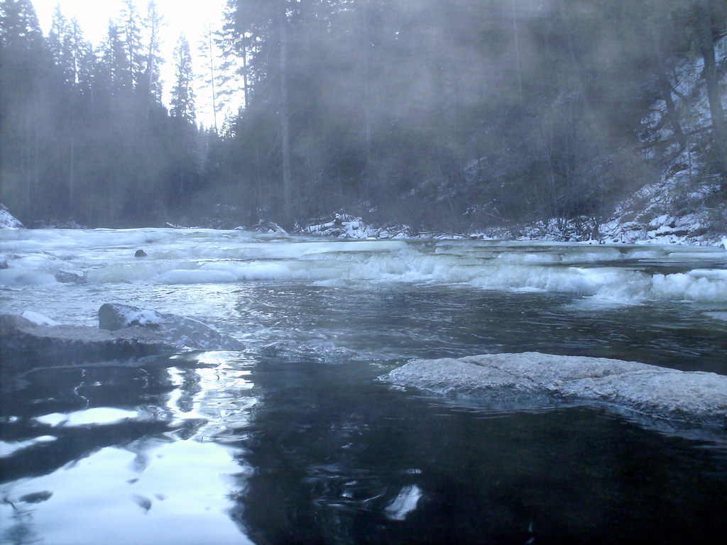 Nickel CreekHikingPhoto: Stupid Dingo, CC BY 2.0 (via Flickr)2.7 mi
- Four MileHiking3.3 mi
- Dollar Creek RidgeHikingPhoto: Stupid Dingo, CC BY 2.0 (via Flickr)3.5 mi
- ShorelineCamping4.6 mi
- Warm LakeCamping4.6 mi
- Picnic Point CampgroundCamping4.7 mi
- Pins And Needles (McCall Area)Rock climbing9.5 mi
Source: Roamze catalog (indexable pages within 10 miles, PostGIS distance)
- Nickel CreekHiking · ~5 min drivePhoto: Stupid Dingo, CC BY 2.0 (via Flickr)
- Dollar Creek RidgeHiking · ~6 min drivePhoto: Stupid Dingo, CC BY 2.0 (via Flickr)
- Kline Mountain LoopHiking · ~8 min drive
- BLACKMARE CREEKHiking · ~13 min drive
 Vulcan Hot SpringsHiking · ~17 min drivePhoto: Stupid Dingo, CC BY 2.0 (via Flickr)
- WewukiyeHiking · ~17 min drivePhoto: Stupid Dingo, CC BY 2.0 (via Flickr)
- Warm Lake TrailHiking · ~9 min drive
- Needles Route Pack TrailHiking · ~18 min drive
- Poverty Overlook InterpretiveHiking · ~9 min drive
- WEST SIDE WARM LAKEHiking · ~17 min drivePhoto: Stupid Dingo, CC BY 2.0 (via Flickr)
