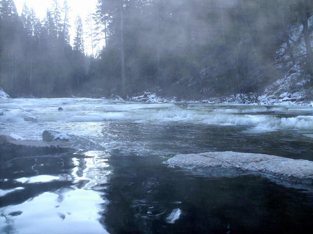
Shoreline Boating Site
- Jun–Sep
- best months
Is Shoreline Boating Site open right now?
Closure in the area
There's a closure order in Boise National Forest. It doesn't name Shoreline Boating Site, so check the source for the area it covers.
UPDATED Sept. 19 - Crooked Fire Area, Road, and Trail Closure
Agency closure covering Boise National Forest · Order 0402-03-140 · USFS · Boise National Forest
Lava Fire Road Closure
Agency alert covering Boise National Forest · Order 0402-06-84 · USFS · Boise National Forest
As of · Source: USFS · Boise National Forest. Agencies don't list every closure — check before you go.
Shoreline Boating Site is a boat launch in the Cascade Ranger District of Idaho's Boise National Forest, about 21 miles from the town of Cascade. It is a simple put-in with vault toilets as the only facility, and there is no fee to use it. Summer is the most comfortable time to visit. Typical averages from a nearby weather station at Deadwood Lodge show July highs around 82°F with lows near 40°F, while winter highs stay in the low to mid 30s. Shoreline campground sits just 0.1 mile away, and Picnic Point Campground is about 0.3 mile off. The Kline Mountain South Trail and Kline Mountain Loop are both within a mile.
- Fee
- No fee
- Restrooms
- Yes
- ShorelineCamping0.1 mi
- Picnic Point CampgroundCamping0.3 mi
- Picnic Point (id)Camping0.4 mi
- Kline Mountain South TrailHiking0.8 mi
- Kline Mountain LoopHiking0.9 mi
 South Fork Salmon RiverCanoeingPhoto: Zachary Collier, CC BY 2.0 (via Wikimedia Commons)3.3 mi
- Pins And Needles (McCall Area)Rock climbing9.7 mi
- North Fork Gold Fork RiverCanoeing9.9 mi
Source: Roamze catalog (indexable pages within 10 miles, PostGIS distance)
 Middle Fork Salmon RiverCanoeing · ~34 min drivePhoto: Rex Parker, CC BY 2.0 (via Wikimedia Commons)
- Poison Creek CampgroundBoat launch · ~38 min drive
- Park CreekFloat trip · ~1h 4m drive
- South Fork Salmon RiverCanoeing · ~6 min drivePhoto: Zachary Collier, CC BY 2.0 (via Wikimedia Commons)
- ButtercupBoat launch · ~38 min drive
- Cold Springs Campground - Boise NFFloat trip · ~1h 6m drive
 North Fork Payette RiverCanoeing · ~59 min drivePhoto: Mll1013, Public domain (via Wikimedia Commons)
- Rainbow PointBoat launch · ~40 min drive
- Mountain ViewFloat trip · ~1h 8m drive
- North Fork Gold Fork RiverCanoeing · ~17 min drive
Best time to visit Shoreline Boating Site
Best months: June–September. Best months have typical highs of 55–85 °F, lows of 30 °F or warmer (32 °F where the station doesn't record snow), at most one snowy day and no more than 12 wet days.
Jan
35° / 8°
Feb
36° / 12°
Mar
42° / 16°
Apr
49° / 22°
May
61° / 30°
Jun
70° / 35°
Jul
82° / 40°
Aug
81° / 38°
Sep
73° / 32°
Oct
57° / 26°
Nov
40° / 16°
Dec
31° / 9°
Typical high / low (°F) and days with rain or snow, 1991–2020. Measured at Deadwood Lodge, ID, 13.8 mi away at 5,948 ft. The station sits about 500 ft higher than this place, so expect it a little warmer here. This station doesn't record snowfall. Source: NOAA NCEI U.S. Climate Normals 1991–2020.