
Village of Trees RV Resort
Hiking business nearby (~42 mi away) — hasn't claimed their Roamze page yet
Free — you'll pick up right here.
Watch this trail
Sign up to watch it — saving subscribes you to gate, closure and report changes.
Idaho
13.3 mi
Distance
625 ft
Gain
We won't guess. Here is exactly what we do and don't know.
What we do know
Inside Sawtooth National Forest
2 managing-area boundaries mapped — agency alerts for them feed this page automatically.
Boundary data
What's missing
No access route mapped
We don't yet know which road reaches this trailhead, so we can't tell you if it's gated.
Nobody's filed a report here yet — be the first.
Why you'll love it
Bostetter Loop
AI-suggested draft · review before you go
No permit or access details on file for this trail — check with the local land manager before you go.
Bostetter Loop is a scenic 13.3-mile circuit offering a moderate day hike through Idaho's diverse terrain. With modest elevation gain of 625 feet spread across the loop, this trail provides an accessible option for hikers seeking a longer adventure without extreme elevation challenges. The loop format makes it convenient for point-to-point navigation and allows hikers to experience varied landscapes typical of the region.

Parking Lot Rock Trailhead
~43 min drive
This is the end of the Creekside Towers Trail, or the beginning depending on which end you start from. If you need a rest stop there is a bathroom located about 500 ft up the road.
Monument Peak
~3 min drive
Short, easy summit hike with scenic Idaho views and minimal elevation gain.
Eckland Loop
~5 min drive
Moderate 8-mile loop with gentle elevation gain in central Idaho.
Wahlstrom Loop
~8 min drive
Scenic 4-mile loop with 600 ft gain in central Idaho.
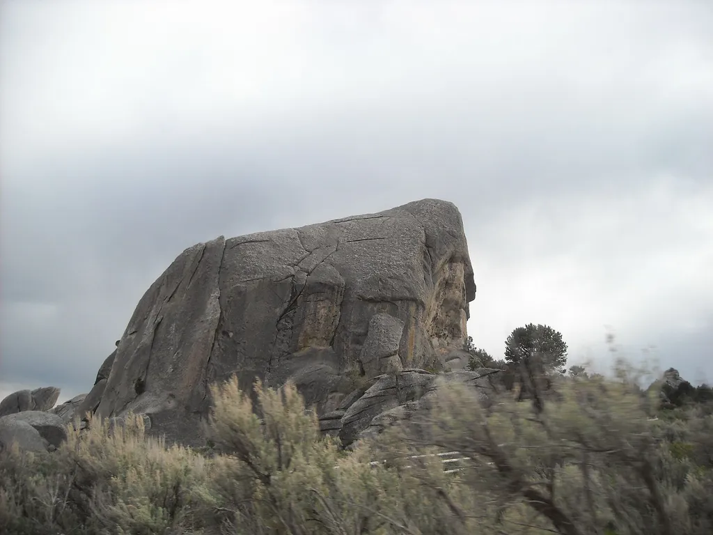
Bath Rock Trail - 0.25 miles
~43 min drive
Starting from the parking lot, this short trail loops around the looming granite formation of Bath Rock. The rock is named for large natural pools of water atop this 240-foot tall monolith. Adventurous visitors can climb up the back side of Bath Rock where handles are affixed…
Pike Springs Loop
~7 min drive
Easy 2.8-mile loop featuring natural springs and gentle forest terrain.
Porcupine Loop
~6 min drive
Moderate 13.2-mile loop with 1,149 ft elevation gain in central Idaho.
Rock Creek Loop
~8 min drive
Easy 3.94-mile loop with creek views and gentle elevation gain.
California Trail History
~43 min drive
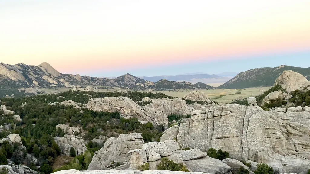
Look east and view Circle Creek Basin, where emigrants along the historic California Trail (1843-1882) camped, rested livestock, and left their names in axle grease. Be sure to take a short detour on the trail heading east to see some spectacular views.
Eagle (Interp. Trail)
~8 min drive
Easy 2.4-mile interpretive loop with minimal elevation gain near Eagle.
Local operatorsoffering guided trips. You book directly with them — Roamze doesn’t take a cut.
Village of Trees RV Resort
Hiking business nearby (~42 mi away) — hasn't claimed their Roamze page yet