Benedict Trail
 Photo: Sawtooth National Recreation Area employees, Public domain (via Wikimedia Commons)
- 15.4 mi
- round trip
- 1,811 ft
- climb
- 8,924 ft
- high point
- Out and back
- route
Caution at last check
Agency alerts are in effect for this area; weather is good · USFS, OpenWeather · checked 12 h ago
Is Benedict Trail open right now?
Alert in the area
The Forest Service lists 4 alerts for Sawtooth National Forest.
Paradise Prescribed Burn Restricted Access
Agency alert covering Sawtooth National Forest · USFS · Sawtooth National Forest
Grandjean Area, Road, and Trail Closure
Agency alert covering Sawtooth National Forest · Order 0414-04-165 · USFS · Sawtooth National Forest
Over-Snow Vehicle and Bicycle Prohibitions
Agency alert covering Sawtooth National Forest · Order 0414-00-028 · USFS · Sawtooth National Forest
Occupancy and Use - Food Storage
Agency alert covering Sawtooth National Forest · Order 0414-04-143 · USFS · Sawtooth National Forest
As of · Source: USFS · Sawtooth National Forest. Agencies don't list every closure — check before you go.
Benedict Trail is a 15.4-mile out-and-back hike in Idaho's Sawtooth Wilderness, part of the Sawtooth National Recreation Area within the Sawtooth National Forest. The route climbs from a low point of 7,089 feet to a high of 8,924 feet, a total gain of 1,811 feet, and is rated hard. The Forest Service manages the land. The trail is open to horses, and bikes are not allowed. That makes it a natural fit for a pack trip rather than a day on foot or wheels. The Sawtooth Wilderness lies about a mile away, and the Ardeth Lake Trail and Mount Cramer Trail are both within 3 miles. For an overnight base, Pettit Lake Campground sits about 8.6 miles off.
Local outfitters
- Camp Perkins11 mi away
- The Sawmill Station33 mi away
Not on Roamze yet. Their page has how to reach them.
Keep exploring — more trails worth the drive
HIKE
Mount Cramer Trail
~4 min drive
17.75-mile out-and-back hike in Idaho with 939 ft gain.
 Photo: Stupid Dingo, CC BY 2.0 (via Flickr)
Alpine Creek Trail
~13 min drive
7.50-mile out-and-back hike in Idaho with 12 feet of elevation gain.
 Photo: WaterArchives.org from Sacramento, California, USA, CC BY-SA 2.0 (via Wikimedia Commons)
Redfish Inlet Trail
~14 min drive
1.14-mile out-and-back trail in Idaho with 329 ft gain.
 Photo: Sam Beebe, CC BY 2.0 (via Flickr)
North Fork Boise River
~15 min drive
4.94-mile out-and-back trail on the North Fork Boise River in Idaho.
 Photo: Fredlyfish4, CC BY-SA 3.0 (via Wikimedia Commons)
Alice Lake - Redfish Lake Trail
~7 min drive
20.49-mile lollipop trail from Alice Lake to Redfish Lake in Idaho
HIKE
Ten Lake Basin Trail
~6 min drive
7.48-mile out-and-back hike in Idaho with 894 ft gain.
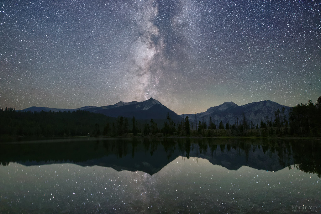 Photo: Eddie Yip, CC BY-SA 2.0 (via Flickr)
Pettit Lake Cutoff
~14 min drive
3.68-mile out-and-back hike in Idaho with 496 ft gain.
HIKE
Neinmeyer Creek-Johnson Creek
~15 min drive
14.49-mile out-and-back trail in Idaho with 2,557 ft elevation gain.
Photo: Fredlyfish4, CC BY-SA 3.0 (via Wikimedia Commons)Yellowbelly Trail
~7 min drive
16.26-mile out-and-back trail in Idaho with 1,233 ft of elevation gain.
HIKE
Flytrip
~8 min drive
2.73-mile out-and-back trail in Idaho with 1,017 ft gain.


Map and trail data © OpenStreetMap contributors
