Alpine Creek Trail
 Photo: Stupid Dingo, CC BY 2.0 (via Flickr)
- 7.5 mi
- round trip
- 12 ft
- climb
- 8,009 ft
- high point
- Out and back
- route
- Jun–Aug
- best months
Is Alpine Creek Trail open right now?
Alert in the area
The Forest Service lists 4 alerts for Sawtooth National Forest.
Paradise Prescribed Burn Restricted Access
Agency alert covering Sawtooth National Forest · USFS · Sawtooth National Forest
Grandjean Area, Road, and Trail Closure
Agency alert covering Sawtooth National Forest · Order 0414-04-165 · USFS · Sawtooth National Forest
Over-Snow Vehicle and Bicycle Prohibitions
Agency alert covering Sawtooth National Forest · Order 0414-00-028 · USFS · Sawtooth National Forest
Occupancy and Use - Food Storage
Agency alert covering Sawtooth National Forest · Order 0414-04-143 · USFS · Sawtooth National Forest
As of · Source: USFS · Sawtooth National Forest. Agencies don't list every closure — check before you go.
Alpine Creek Trail is a 7.5-mile out-and-back route in Idaho's Sawtooth Wilderness, part of the Sawtooth National Recreation Area within the Sawtooth National Forest. The Forest Service manages the land, and the trail crosses wilderness boundaries. The climb is about 12 feet of elevation gain, so it is not a significant ascent. The high point on the route reaches 8,009 feet, and the low point is at 7,083 feet. Summer is the most comfortable time to go. Typical averages from a nearby weather station in Stanley show July and August highs around 80°F with lows near 37 to 39°F and the fewest wet days of the year, about five or six. That station sits roughly 1,500 feet below the trail, so temperatures on the route run cooler. The route is rated moderate, and bikes are not allowed. Eureka Gulch Trail lies about 2.5 miles away, and Alturas Lake-Mattingly and Alturas Lake - Mattingley Trail are each within about 3 miles. Alturas Lake Inlet campground is about 4.1 miles off.
Local outfitters
- Camp Perkins7 mi away
- The Sawmill Station34 mi away
Not on Roamze yet. Their page has how to reach them.
- Eureka Gulch TrailHiking2.5 mi
- Alturas Lake-MattinglyHiking2.8 mi
- Alturas Lake - Mattingley TrailHiking3 mi
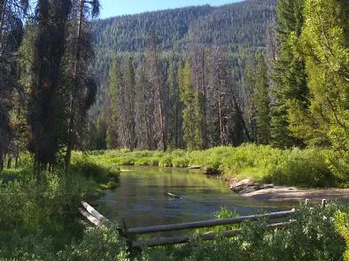 Alturas Lake InletCampingPhoto: Recreation.gov (RIDB) / public domain4.1 mi
- Alturas Inlet CgCamping4.3 mi
- North Shore CgCamping5 mi
- Perkins LakeLake fishing6.4 mi
- Sawtooth WildernessLake fishing8.2 mi
Source: Roamze catalog (indexable pages within 10 miles, PostGIS distance)
 Yellowbelly TrailHiking · ~7 min drivePhoto: Fredlyfish4, CC BY-SA 3.0 (via Wikimedia Commons)
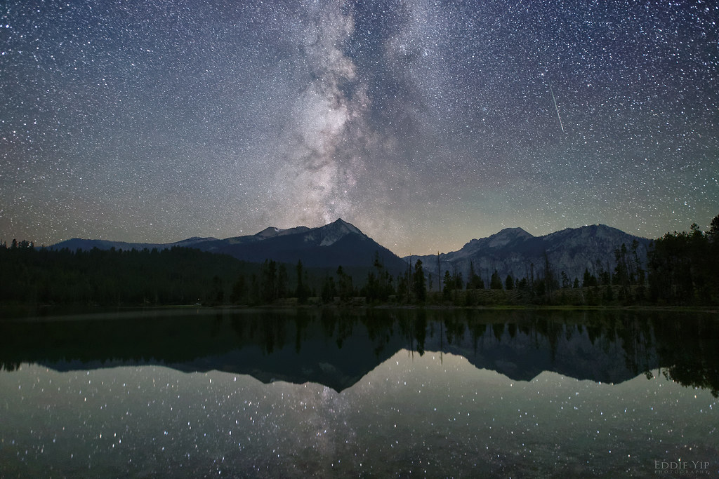 Pettit Lake CutoffHiking · ~12 min drivePhoto: Eddie Yip, CC BY-SA 2.0 (via Flickr)
- FlytripHiking · ~5 min drive
- Alice Lake - Redfish Lake TrailHiking · ~8 min drivePhoto: Fredlyfish4, CC BY-SA 3.0 (via Wikimedia Commons)
- Tin Cup HorseHiking · ~13 min drivePhoto: Eddie Yip, CC BY-SA 2.0 (via Flickr)
- JOHNSON CREEKHiking · ~7 min drive
- Mount Cramer TrailHiking · ~9 min drive
- Middle Fork Boise RiverHiking · ~8 min drive
- Ten Lake Basin TrailHiking · ~8 min drive
- Pettit Creek TrailHiking · ~12 min drivePhoto: Eddie Yip, CC BY-SA 2.0 (via Flickr)
Best time to visit Alpine Creek Trail
Best months: June–August. Best months have typical highs of 55–85 °F, lows of 30 °F or warmer (32 °F where the station doesn't record snow), at most one snowy day and no more than 12 wet days.
Jan
29° / 4°
12 wet
Feb
35° / 7°
12 wet
Mar
42° / 14°
14 wet
Apr
49° / 21°
12 wet
May
60° / 30°
12 wet
Jun
69° / 35°
10 wet
Jul
80° / 39°
6 wet
Aug
80° / 37°
5 wet
Sep
70° / 31°
7 wet
Oct
55° / 24°
9 wet
Nov
39° / 14°
12 wet
Dec
28° / 6°
14 wet
Typical high / low (°F) and days with rain or snow, 1991–2020. Measured at Stanley Rs, ID, 18.4 mi away at 6,495 ft. The station sits about 1,500 ft lower than this place, so expect it a little cooler here. This station doesn't record snowfall. Source: NOAA NCEI U.S. Climate Normals 1991–2020.


Map and trail data © OpenStreetMap contributors
