Baker Creek Road Campground
Campground
Campground · 5.9 mi from the trail
Alert in the area
The Forest Service lists 4 alerts for Sawtooth National Forest.
Paradise Prescribed Burn Restricted Access
Agency alert covering Sawtooth National Forest · USFS · Sawtooth National Forest
Grandjean Area, Road, and Trail Closure
Agency alert covering Sawtooth National Forest · Order 0414-04-165 · USFS · Sawtooth National Forest
Over-Snow Vehicle and Bicycle Prohibitions
Agency alert covering Sawtooth National Forest · Order 0414-00-028 · USFS · Sawtooth National Forest
Occupancy and Use - Food Storage
Agency alert covering Sawtooth National Forest · Order 0414-04-143 · USFS · Sawtooth National Forest
As of · Source: USFS · Sawtooth National Forest. Agencies don't list every closure — check before you go.
Baker Ck - Norton Cr is a hard hike in Idaho's Sawtooth National Forest, within the Ketchum Ranger District. The route is an out-and-back of about 7.9 miles, with a one-way elevation gain of 1,489 feet, taking you from a low point of 7,944 feet to a high of 9,304 feet. The trailhead is at Baker Lake Trailhead, and the Forest Service manages the land. The trail is natural-surfaced and allows bikes, so riders can join the hike. It is open year-round, and the trailhead parking is labeled BAKER LAKE TRAILHEAD. The Osberg Ridgeline Trail #147 starts just 0.1 mile away, and the Baker Lake Trail is 0.8 mile off. Norton Lake Trail and Norton Creek are both within about 3 miles.
Baker Creek Road Campground
Campground
Lookout
Restaurant
Sun Valley Museum of Art
Museum
Places © OpenStreetMap contributors
More in KetchumNot on Roamze yet. Their page has how to reach them.
 Photo: Matt Lavin, CC BY-SA 2.0 (via Flickr)
Baker Lake Trail
~1 min drive
0.47-mile out-and-back hike to Baker Lake in Idaho with 108 ft of elevation gain.
 Photo: U.S. Forest Service employees, Public domain (via Wikimedia Commons)
SILVER CREEK LOOP
~14 min drive
15.1-mile out-and-back trail in Idaho with 3,909 ft elevation gain
 Photo: Fredlyfish4 at English Wikipedia, Public domain (via Wikimedia Commons)
BAKER CREEK
~14 min drive
18.98-mile out-and-back trail in Idaho with 1,665 ft elevation gain
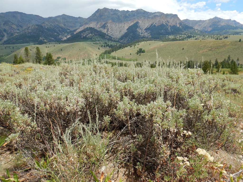 Photo: Matt Lavin, CC BY-SA 2.0 (via Flickr)
PRAIRIE CREEK LOOP SKI
~16 min drive
7.7-mile out-and-back ski trail in Idaho with 818 ft elevation gain and loss.
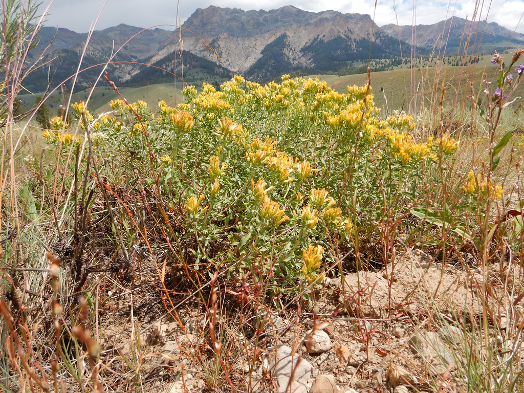 Photo: Matt Lavin, CC BY-SA 2.0 (via Flickr)
SOUTH LOOP SKI
~15 min drive
2.09-mile loop ski trail in Idaho with 328 ft elevation gain
HIKE
Osberg Ridgeline Trail #147
Next door
27.2-mile out-and-back trail in Idaho with 4,915 ft gain and 9,602 ft max elevation.
 Photo: Matt Lavin, CC BY-SA 2.0 (via Flickr)
Easley Gulch Aka Curlies
~14 min drive
6.16-mile out-and-back trail in Idaho with 1,518 ft elevation gain.
HIKE
Apollo Creek
~4 min drive
5.33-mile out-and-back trail in Idaho with 1,368 ft elevation gain.
 Photo: Matt Lavin, CC BY-SA 2.0 (via Flickr)
NEWMAN CREEK
~12 min drive
4.06-mile out-and-back trail in Idaho with 982 ft elevation gain and loss.
HIKE
BLUFF CREEK/WEST FORK BIG PEAK
~9 min drive
19.66-mile out-and-back trail in Idaho with 5,648 ft elevation gain

