Baker Creek Road Campground
Campground
Campground · 3.7 mi from the trail
Caution today
Agency alerts are in effect for this area; weather is good · USFS, OpenWeather · checked 5 h ago
Alert in the area
The Forest Service lists 4 alerts for Sawtooth National Forest.
Paradise Prescribed Burn Restricted Access
Agency alert covering Sawtooth National Forest · USFS · Sawtooth National Forest
Grandjean Area, Road, and Trail Closure
Agency alert covering Sawtooth National Forest · Order 0414-04-165 · USFS · Sawtooth National Forest
Over-Snow Vehicle and Bicycle Prohibitions
Agency alert covering Sawtooth National Forest · Order 0414-00-028 · USFS · Sawtooth National Forest
Occupancy and Use - Food Storage
Agency alert covering Sawtooth National Forest · Order 0414-04-143 · USFS · Sawtooth National Forest
As of · Source: USFS · Sawtooth National Forest. Agencies don't list every closure — check before you go.
Apollo Creek is a 5.3-mile out-and-back hike in Idaho's Sawtooth National Forest, within the Ketchum Ranger District. The trail rises from a low point of 7,459 feet to a high of 8,828 feet, with a total elevation gain of 1,368 feet. The Forest Service manages the land, and the route is rated moderate. The trail is natural-surfaced and allows bikes, so riders can take it on a mountain bike. It is open year-round, and the trip works as a single outing rather than a two-day base. The Norton Creek hike starts less than a mile away, and the Norton Lake Trail is about 1.4 miles off. Paddlers can reach Baker Creek within 2.8 miles, and the Wood River Campground sits about 10 miles away.
Baker Creek Road Campground
Campground
Lookout
Restaurant
Sun Valley Museum of Art
Museum
Places © OpenStreetMap contributors
More in KetchumNot on Roamze yet. Their page has how to reach them.
 Photo: Matt Lavin, CC BY-SA 2.0 (via Flickr)
Baker Lake Trail
~5 min drive
0.47-mile out-and-back hike to Baker Lake in Idaho with 108 ft of elevation gain.
 Photo: Fredlyfish4 at English Wikipedia, Public domain (via Wikimedia Commons)
BAKER CREEK
~10 min drive
18.98-mile out-and-back trail in Idaho with 1,665 ft elevation gain
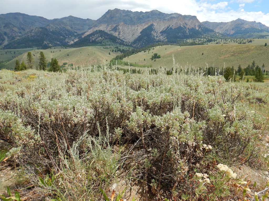 Photo: Matt Lavin, CC BY-SA 2.0 (via Flickr)
PRAIRIE CREEK LOOP SKI
~12 min drive
7.7-mile out-and-back ski trail in Idaho with 818 ft elevation gain and loss.
 Photo: U.S. Forest Service employees, Public domain (via Wikimedia Commons)
SILVER CREEK LOOP
~10 min drive
15.1-mile out-and-back trail in Idaho with 3,909 ft elevation gain
 Photo: Matt Lavin, CC BY-SA 2.0 (via Flickr)
NEWMAN CREEK
~8 min drive
4.06-mile out-and-back trail in Idaho with 982 ft elevation gain and loss.
 Photo: Matt Lavin, CC BY-SA 2.0 (via Flickr)
Easley Gulch Aka Curlies
~11 min drive
6.16-mile out-and-back trail in Idaho with 1,518 ft elevation gain.
HIKE
Norton Lake Trail
~2 min drive
3.16-mile out-and-back hike in Idaho with 1,431 ft elevation gain.
HIKE
Osberg Ridgeline Trail #147
~4 min drive
27.2-mile out-and-back trail in Idaho with 4,915 ft gain and 9,602 ft max elevation.
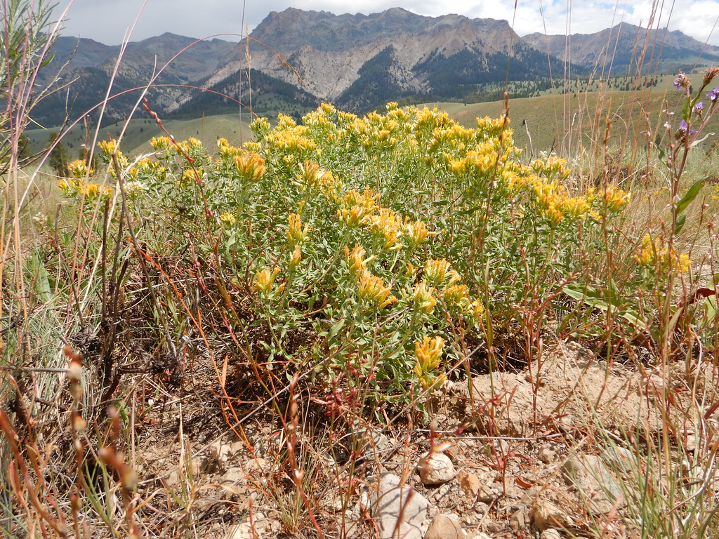 Photo: Matt Lavin, CC BY-SA 2.0 (via Flickr)
NORTH LOOP SKI
~12 min drive
4.72-mile out-and-back ski trail in Idaho with 523 ft elevation gain
HIKE
Baker Ck - Norton Cr
~4 min drive
7.86-mile out-and-back trail in Idaho with 1,489 ft gain.

