Ardeth Lake Trail
- 4.9 mi
- round trip
- 698 ft
- climb
- 8,855 ft
- high point
- Out and back
- route
Is Ardeth Lake Trail open right now?
Alert in the area
The Forest Service lists 4 alerts for Sawtooth National Forest.
Paradise Prescribed Burn Restricted Access
Agency alert covering Sawtooth National Forest · USFS · Sawtooth National Forest
Grandjean Area, Road, and Trail Closure
Agency alert covering Sawtooth National Forest · Order 0414-04-165 · USFS · Sawtooth National Forest
Over-Snow Vehicle and Bicycle Prohibitions
Agency alert covering Sawtooth National Forest · Order 0414-00-028 · USFS · Sawtooth National Forest
Occupancy and Use - Food Storage
Agency alert covering Sawtooth National Forest · Order 0414-04-143 · USFS · Sawtooth National Forest
As of · Source: USFS · Sawtooth National Forest. Agencies don't list every closure — check before you go.
Ardeth Lake Trail is an easy out-and-back hike in Idaho's Sawtooth Wilderness, part of the Sawtooth National Recreation Area within the Sawtooth National Forest. The trail is managed by the Forest Service and runs about 4.9 miles round trip, with a total elevation gain of 698 feet. The route starts at a low point of about 8,228 feet and climbs to a high of about 8,855 feet. The trail is a straightforward walk rather than a steep climb, and it stays within the wilderness. Bikes are not allowed, so plan on hiking both ways. The most comfortable time to go is summer, when typical averages from a nearby weather station run in the low to mid 70s °F. Winter is cold, with typical averages in the teens and 20s. Nearby, Mount Cramer Trail and the Middle Fork Boise River are both within about 1.6 miles. Pettit Lake Campground is about 7.5 miles away, and the Sawtooth Range climbing area is about 8.1 miles away.
Local outfitters
- Camp Perkins9 mi away
- The Sawmill Station34 mi away
Not on Roamze yet. Their page has how to reach them.
Keep exploring — more trails worth the drive
HIKE
Mount Cramer Trail
~3 min drive
17.75-mile out-and-back hike in Idaho with 939 ft gain.
 Photo: Stupid Dingo, CC BY 2.0 (via Flickr)
Alpine Creek Trail
~9 min drive
7.50-mile out-and-back hike in Idaho with 12 feet of elevation gain.
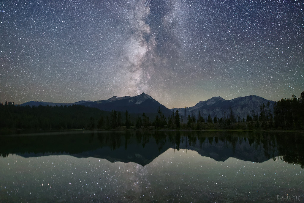 Photo: Eddie Yip, CC BY-SA 2.0 (via Flickr)
Pettit Lake Cutoff
~12 min drive
3.68-mile out-and-back hike in Idaho with 496 ft gain.
HIKE
Neinmeyer Creek-Johnson Creek
~16 min drive
14.49-mile out-and-back trail in Idaho with 2,557 ft elevation gain.
 Photo: Sawtooth National Recreation Area employees, Public domain (via Wikimedia Commons)
Benedict Trail
~4 min drive
Benedict Trail is a 15.41-mile out-and-back hike in Idaho with 1,811 ft of elevation gain.
HIKE
Flytrip
~5 min drive
2.73-mile out-and-back trail in Idaho with 1,017 ft gain.
Photo: Eddie Yip, CC BY-SA 2.0 (via Flickr)Tin Cup Horse
~13 min drive
1.47-mile out-and-back trail in Idaho with 100 ft of elevation gain.
 Photo: Fredlyfish4, CC BY-SA 3.0 (via Wikimedia Commons)
Alice Lake - Redfish Lake Trail
~4 min drive
20.49-mile lollipop trail from Alice Lake to Redfish Lake in Idaho
HIKE
Huckleberry
~11 min drive
6.19-mile out-and-back trail in Idaho with 117 ft gain and 1,540 ft loss.
HIKE
Middle Fork Boise River
~3 min drive
29.91-mile out-and-back trail in Idaho with 39 ft of elevation gain.

Map and trail data © OpenStreetMap contributors
