Boundary
Campground
Campground · 4.1 mi from the trail
Alert in the area
The Forest Service lists 4 alerts for Sawtooth National Forest.
Paradise Prescribed Burn Restricted Access
Agency alert covering Sawtooth National Forest · USFS · Sawtooth National Forest
Grandjean Area, Road, and Trail Closure
Agency alert covering Sawtooth National Forest · Order 0414-04-165 · USFS · Sawtooth National Forest
Over-Snow Vehicle and Bicycle Prohibitions
Agency alert covering Sawtooth National Forest · Order 0414-00-028 · USFS · Sawtooth National Forest
Occupancy and Use - Food Storage
Agency alert covering Sawtooth National Forest · Order 0414-04-143 · USFS · Sawtooth National Forest
As of · Source: USFS · Sawtooth National Forest. Agencies don't list every closure — check before you go.
Adams Gulch Trail is a hard out-and-back hike in the Ketchum Ranger District of Idaho's Sawtooth National Forest, on Forest Service land. The full trip covers about 15.6 miles on a natural surface, and bikes are allowed, so expect to share the route with riders. The climb is substantial: about 2,600 feet of gain one way, rising from a low point near 6,100 feet to a high point of about 8,670 feet. Because it's an out-and-back, you reach that high point and return the same way, which makes this a long, full-day effort. Several shorter options start close by, including Lane's Trail - Sunnyside and Shady Side, both under a mile away. For fishing, the Big Wood River is about 2.3 miles off, and Boundary is the nearest campground, roughly 4 miles away.
Boundary
Campground
Sun Valley Museum of Art
Museum
Places © OpenStreetMap contributors
More in KetchumNot on Roamze yet. Their page has how to reach them.
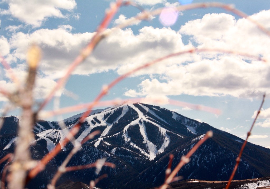 Photo: Chloé François, CC BY 2.0 (via Flickr)
Aspen Loop
~6 min drive
2.60-mile out-and-back trail in Idaho with 637 ft elevation gain.
 Photo: ArtBrom, CC BY-SA 2.0 (via Flickr)
Proctor Mountain
~6 min drive
8.80-mile out-and-back hike to Proctor Mountain summit in Idaho with 1,097 ft gain.
HIKE
Lane's Trail - Sunnyside
Next door
4.45-mile out-and-back trail in Idaho with 222 ft gain.
HIKE
OSBERG RIDGELINE TRAIL
~10 min drive
22.56-mile out-and-back trail in Idaho with 6,112 ft elevation gain and 9,552 ft max elevation.
Photo: ArtBrom, CC BY-SA 2.0 (via Flickr)Trail Creek
~7 min drive
2.11-mile out-and-back trail at Trail Creek in Idaho with 65 ft of elevation gain.
Photo: ArtBrom, CC BY-SA 2.0 (via Flickr)Corral Creek
~6 min drive
8.65-mile out-and-back trail in Idaho with 350 ft gain.
HIKE
ADAM-LAKE CREEK CONNECTOR
~1 min drive
3.04-mile out-and-back trail in Idaho with 1,143 ft elevation gain and loss.
HIKE
Warfield South Fork Trail #151
~12 min drive
18.32-mile out-and-back trail in Idaho with 3,502 ft elevation gain and loss, reaching 8,276 ft.
 Photo: DieselDemon, CC BY 2.0 (via Flickr)
SOUTH BOULDER LOOP
~12 min drive
2.27-mile loop trail in Idaho with 249 ft gain and 274 ft loss.
HIKE
Adams Gulch
~2 min drive
8.24-mile out-and-back trail in Idaho with 2,046 ft elevation gain.
