Wilderness Trail
- 0.8 mi
- round trip
- 211 ft
- climb
- 1,209 ft
- high point
- Out and back
- route
- Feb–Jun, Sep–Nov
- best months
Wilderness Trail is an easy out-and-back hike in Georgia, about 2.9 miles from the community of Beasley Gap. The route is 1.7 miles long, and it starts and ends at roughly the same elevation, around 1,116 feet, with a front-loaded climb to a high point of 1,209 feet. That makes it a short, gentle outing, with the steepest stretch coming about halfway along the trail, at a 5% grade. Spring and fall are the most comfortable times to go. Typical averages from the nearby Allatoona Dam weather station run from highs around 72°F in April to 73°F in October, with fewer wet days in fall than in spring. The trail pairs well with other outings close by. Flat Rock Trail is just half a mile away, and Waleska, a climbing area, is about 2.9 miles off. Sweetwater Campground sits about 8 miles away, and Salacoa Creek, a canoeing spot, is roughly 10 miles away.
- Flat Rock TrailHiking0.5 mi
- WaleskaRock climbing2.9 mi
- Grassy Hollow RoadMountain biking5.6 mi
- Pine Log WMARock climbing6 mi
- Blue TrailHiking6.7 mi
- Sweetwater Day Use Area (ga)Camping7.9 mi
- Sweetwater CampgroundCamping8.1 mi
 Salacoa CreekCanoeingPhoto: John Phelan, CC BY 4.0 (via Wikimedia Commons)9.9 mi
Source: Roamze catalog (indexable pages within 10 miles, PostGIS distance)
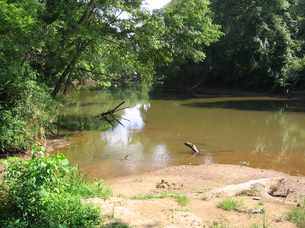 Orange Trail - Segment #2Hiking · ~12 min drivePhoto: The_Gut, CC BY 2.0 (via Flickr)
- White Trail - Segment #1Hiking · ~13 min drivePhoto: The_Gut, CC BY 2.0 (via Flickr)
- Purple trail - Segment #1Hiking · ~12 min drivePhoto: The_Gut, CC BY 2.0 (via Flickr)
- White Trail - Segment #2Hiking · ~12 min drive
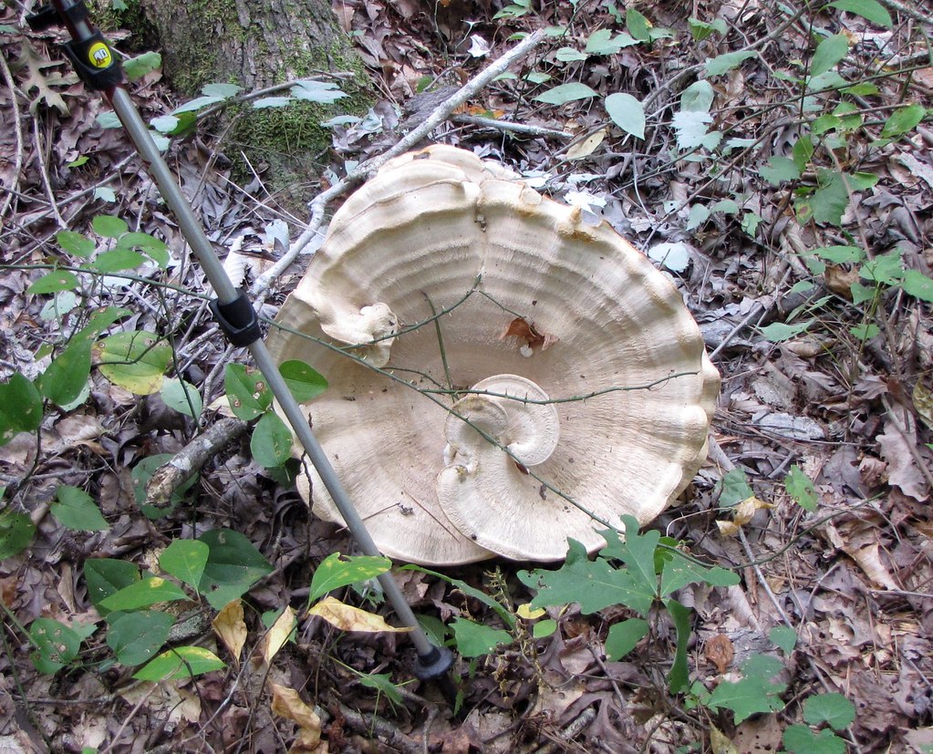 Cooper's Furnace TrailHiking · ~20 min drivePhoto: The_Gut, CC BY 2.0 (via Flickr)
- Bent TrailHiking · ~20 min drive
- Pine Mountain South Approach C (unofficial)Hiking · ~20 min drivePhoto: The_Gut, CC BY 2.0 (via Flickr)
- Pine Mountain South Approach B (unofficial)Hiking · ~20 min drivePhoto: The_Gut, CC BY 2.0 (via Flickr)
 Pine Mountain South Approach A (unofficial)Hiking · ~20 min drivePhoto: Curtis Abert, CC BY 2.0 (via Flickr)
- Laurel Ridge TrailHiking · ~21 min drivePhoto: Curtis Abert, CC BY 2.0 (via Flickr)
Best time to visit Wilderness Trail
Best months: February–June and September–November. Best months have typical highs of 55–85 °F, lows of 30 °F or warmer (32 °F where the station doesn't record snow), at most one snowy day and no more than 12 wet days.
Jan
51° / 29°
11 wet
Feb
55° / 32°
10 wet
Mar
63° / 39°
11 wet
Apr
72° / 46°
10 wet
May
79° / 56°
9 wet
Jun
85° / 64°
10 wet
Jul
88° / 67°
11 wet
Aug
87° / 67°
9 wet
Sep
82° / 61°
8 wet
Oct
73° / 49°
8 wet
Nov
62° / 38°
9 wet
Dec
54° / 32°
10 wet
Typical high / low (°F) and days with rain or snow, 1991–2020. Measured at Allatoona Dam 2, GA, 12 mi away at 975 ft. Source: NOAA NCEI U.S. Climate Normals 1991–2020.

Map and trail data © OpenStreetMap contributors
