Orange Trail - Segment #2
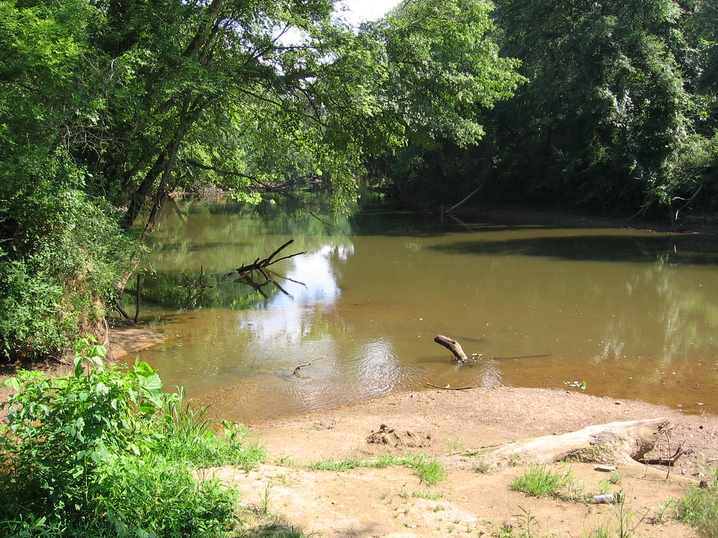 Photo: The_Gut, CC BY 2.0 (via Flickr)
- 1.1 mi
- round trip
- 361 ft
- climb
- 1,091 ft
- high point
- Out and back
- route
- Feb–Jun, Sep–Nov
- best months
Orange Trail - Segment #2 is an easy hike on county-managed land in Georgia. The segment runs about 1.1 miles one way, and most people walk it as an out-and-back of about 2.2 miles round trip. The terrain rolls rather than climbing steadily. Expect about 190 feet of climbing one way, or about 360 feet over the full round trip. The route starts near 980 feet and stays between roughly 975 and 1,090 feet. Its steepest stretch comes early, about a quarter mile in, where the grade reaches around 8 percent. The short distance and gentle grades make it a manageable outing for most hikers. Spring and fall are the most comfortable times to go. Typical averages from a nearby weather station show October highs around 73°F with lows near 49°F, and April is similar at about 72°F and 46°F. The segment links closely with other short trails. Orange Trail - Segment #1 and Purple Trail - Segment #2 are each about 0.1 mile away, and the Yellow Trail is about 0.6 mile off. For camping, Sweetwater Campground is roughly 5 miles away.
- Purple Trail -Segment #2Hiking0.1 mi
- Orange Trail - Segment #1Hiking0.1 mi
- Purple trail - Segment #1HikingPhoto: The_Gut, CC BY 2.0 (via Flickr)0.5 mi
- Yellow TrailHiking0.6 mi
- Sweetwater Day Use Area (ga)Camping4.9 mi
- Sweetwater CampgroundCamping5.2 mi
- Victoria CampgroundCamping8.9 mi
- WaleskaRock climbing9.8 mi
Source: Roamze catalog (indexable pages within 10 miles, PostGIS distance)
- Purple trail - Segment #1Hiking · Next doorPhoto: The_Gut, CC BY 2.0 (via Flickr)
- White Trail - Segment #1Hiking · ~1 min drivePhoto: The_Gut, CC BY 2.0 (via Flickr)
 Silver Star Nature TrailHiking · ~14 min drivePhoto: jeffgunn, CC BY 2.0 (via Flickr)
- White Trail - Segment #2Hiking · ~1 min drive
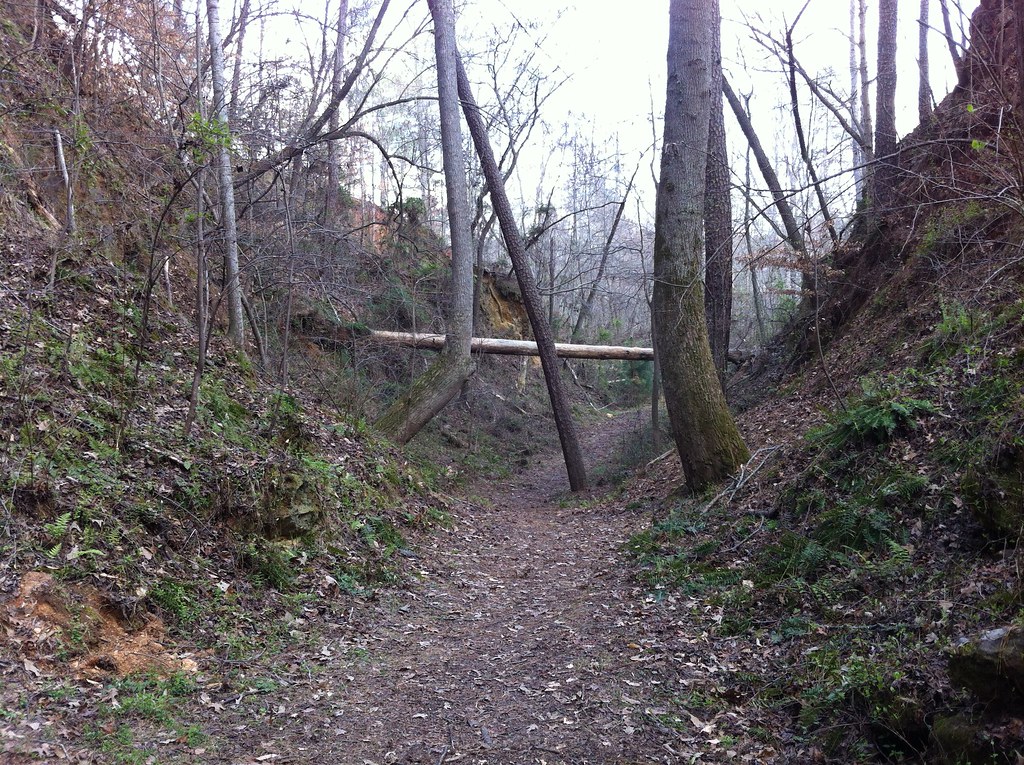 Iron Hill TrailHiking · ~23 min drivePhoto: TranceMist, CC BY 2.0 (via Flickr)
- Bent TrailHiking · ~17 min drive
- Iron Hill TrailHiking · ~23 min drivePhoto: TranceMist, CC BY 2.0 (via Flickr)
 Laurel Ridge TrailHiking · ~23 min drivePhoto: Curtis Abert, CC BY 2.0 (via Flickr)
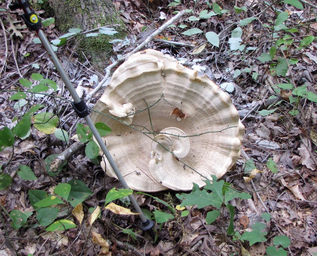 Cooper's Furnace TrailHiking · ~23 min drivePhoto: The_Gut, CC BY 2.0 (via Flickr)
- Pine Mountain South Approach C (unofficial)Hiking · ~24 min drivePhoto: The_Gut, CC BY 2.0 (via Flickr)
Best time to visit Orange Trail - Segment #2
Best months: February–June and September–November. Best months have typical highs of 55–85 °F, lows of 30 °F or warmer (32 °F where the station doesn't record snow), at most one snowy day and no more than 12 wet days.
Jan
51° / 29°
11 wet
Feb
55° / 32°
10 wet
Mar
63° / 39°
11 wet
Apr
72° / 46°
10 wet
May
79° / 56°
9 wet
Jun
85° / 64°
10 wet
Jul
88° / 67°
11 wet
Aug
87° / 67°
9 wet
Sep
82° / 61°
8 wet
Oct
73° / 49°
8 wet
Nov
62° / 38°
9 wet
Dec
54° / 32°
10 wet
Typical high / low (°F) and days with rain or snow, 1991–2020. Measured at Allatoona Dam 2, GA, 13.6 mi away at 975 ft. Source: NOAA NCEI U.S. Climate Normals 1991–2020.

Map and trail data © OpenStreetMap contributors
