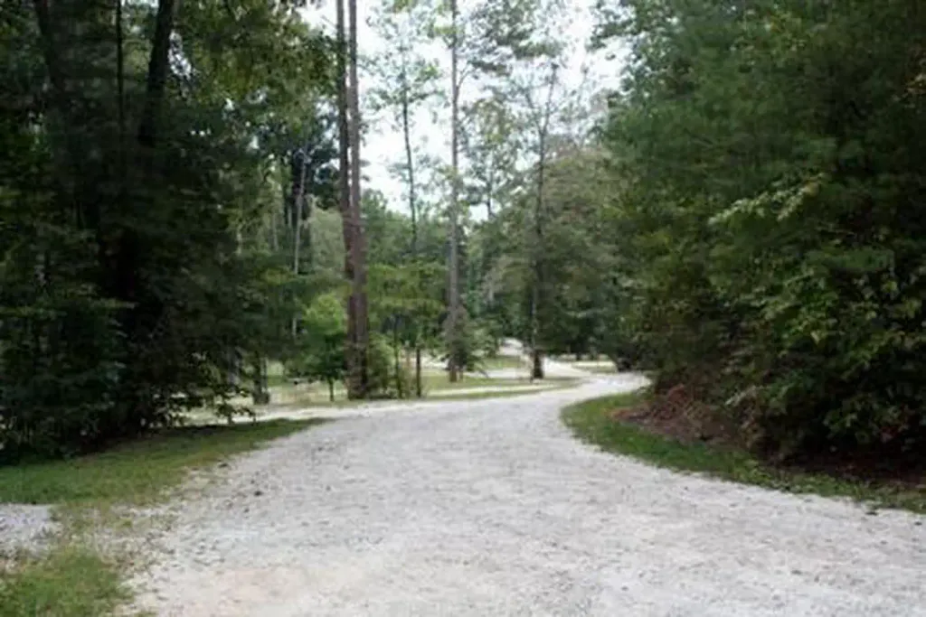
Wilson Gap
Campground
Campground · 4.1 mi from the trail
 Photo: JM Palacios, CC BY-SA 2.0 (via Flickr)
Closure in the area
There's a closure order in Chattahoochee-Oconee National Forests. It doesn't name Warwoman Dell Nature Trail, so check the source for the area it covers (5 listed).
West Cowpen, FS Road 17, Road Maintenance
Agency closure covering Chattahoochee-Oconee National Forests · USFS · Chattahoochee-Oconee National Forests
Bear Creek Road, FS 241, Temporarily Closed
Agency closure covering Chattahoochee-Oconee National Forests · USFS · Chattahoochee-Oconee National Forests
Prescribed fire on Oconee Ranger District at Jasper County
Agency closure covering Chattahoochee-Oconee National Forests · USFS · Chattahoochee-Oconee National Forests
Muskrat Road, FS 218, Temporarily Closed
Agency closure covering Chattahoochee-Oconee National Forests · USFS · Chattahoochee-Oconee National Forests
Flash Flood Awareness
Agency closure covering Chattahoochee-Oconee National Forests · USFS · Chattahoochee-Oconee National Forests
As of · Source: USFS · Chattahoochee-Oconee National Forests. Agencies don't list every closure — check before you go.
Warwoman Dell Nature Trail is an easy, 2.5-mile out-and-back hike in the Chattooga River Ranger District of the Chattahoochee-Oconee National Forests in north Georgia. The trail rises about 86 feet from a low point of 1,881 feet to a high of 1,994 feet, and its natural surface makes it a straightforward walk for anyone looking to spend a few hours on foot in the forest. Spring and fall are the most comfortable times to go. Typical averages from a nearby weather station show October highs around 71°F with lows near 47°F, and April is similar at about 70°F by day and 44°F at night. Summer runs warmer, with July highs averaging about 85°F. The trail is open year-round, and the Forest Service manages the surrounding land. Bikes and horses are not allowed, so plan on walking the route. Becky Branch Falls sits just 0.3 miles away, and Rainey Mountain Trail and Pinnacle are both within about a mile. Warwoman Creek, a fishing spot, is roughly 3 miles off.
Wilson Gap
Campground
Sunset Rock
Viewpoint
Cliff in Macon County, North Carolina, United States
Places © OpenStreetMap contributors, Places © Overture Maps Foundation
More in HighlandsNot on Roamze yet. Their page has how to reach them.
 Becky Branch FallsHikingPhoto: JM Palacios, CC BY-SA 2.0 (via Flickr)0.3 miRainey Mountain TrailHikingPhoto: JM Palacios, CC BY-SA 2.0 (via Flickr)1.1 mi
 PinnacleHikingPhoto: JM Palacios, CC BY-SA 2.0 (via Flickr)1.2 mi
 Whetstone Horse CampCampingPhoto: Recreation.gov (RIDB) / public domain7.5 mi
 Main WallRock climbingPhoto: Chanilim714, CC BY-SA 3.0 (via Wikimedia Commons)10 miTallulah GorgeRock climbingPhoto: Chanilim714, CC BY-SA 3.0 (via Wikimedia Commons)10 mi
Source: Roamze catalog (indexable pages within 10 miles, PostGIS distance)
Rainey Mountain TrailHiking · ~2 min drivePhoto: JM Palacios, CC BY-SA 2.0 (via Flickr) DARNELL CREEK HORSE TRAILHiking · ~9 min drivePhoto: Olin Gilbert, CC BY 2.0 (via Flickr)
 Rabun BaldHiking · ~11 min drivePhoto: Thomson200, CC0 (via Wikimedia Commons)
 Tennessee Rock TrailHiking · ~6 min drivePhoto: lns1122, CC BY 2.0 (via Flickr)
 Foxfire TrailHiking · ~5 min drivePhoto: Carl Black, CC BY-SA 2.0 (via Flickr)
 Bartram TrailHiking · ~10 min drivePhoto: Jsfouche, CC BY-SA 3.0 (via Wikimedia Commons)Springhouse TrailHiking · ~6 min drivePhoto: lns1122, CC BY 2.0 (via Flickr)
Best months: March–June and August–November. Best months have typical highs of 55–85 °F, lows of 30 °F or warmer (32 °F where the station doesn't record snow), at most one snowy day and no more than 12 wet days.
Jan
50° / 30°
11 wet
Feb
54° / 31°
10 wet
Mar
61° / 37°
11 wet
Apr
70° / 44°
10 wet
May
76° / 53°
11 wet
Jun
83° / 61°
12 wet
Jul
85° / 65°
13 wet
Aug
84° / 64°
12 wet
Sep
79° / 59°
10 wet
Oct
71° / 47°
9 wet
Nov
61° / 37°
9 wet
Dec
53° / 32°
11 wet
Typical high / low (°F) and days with rain or snow, 1991–2020. Measured at Clayton 1 Ssw, GA, 2.3 mi away at 1,965 ft. This station doesn't record snowfall. Source: NOAA NCEI U.S. Climate Normals 1991–2020.
Spring 2026 Forest-wide Fire Restrictions
Chattahoochee-Oconee National Forests · Order dated April 23, 2026; seen Aug 23, 2026 → lifted Oct 13, 2026 · Forest Service


