Wilson Gap
Campground
Campground · 4.4 mi from the trail
 Photo: Carl Black, CC BY-SA 2.0 (via Flickr)
Closure in the area
There's a closure order in Chattahoochee-Oconee National Forests. It doesn't name Foxfire Trail, so check the source for the area it covers (5 listed).
West Cowpen, FS Road 17, Road Maintenance
Agency closure covering Chattahoochee-Oconee National Forests · USFS · Chattahoochee-Oconee National Forests
Bear Creek Road, FS 241, Temporarily Closed
Agency closure covering Chattahoochee-Oconee National Forests · USFS · Chattahoochee-Oconee National Forests
Prescribed fire on Oconee Ranger District at Jasper County
Agency closure covering Chattahoochee-Oconee National Forests · USFS · Chattahoochee-Oconee National Forests
Muskrat Road, FS 218, Temporarily Closed
Agency closure covering Chattahoochee-Oconee National Forests · USFS · Chattahoochee-Oconee National Forests
Flash Flood Awareness
Agency closure covering Chattahoochee-Oconee National Forests · USFS · Chattahoochee-Oconee National Forests
As of · Source: USFS · Chattahoochee-Oconee National Forests. Agencies don't list every closure — check before you go.
Foxfire Trail is an easy hike in Georgia, set within Black Rock Mountain State Park in the Chattooga River Ranger District of the Chattahoochee-Oconee National Forests. The State Department of Natural Resources manages the land, and the trail makes a quick outing of about 1.4 miles with a total climb of about 750 feet. The trail is an out-and-back, and it begins at the high point of about 3,055 feet. The steepest stretch comes early, around 0.2 miles from the start, with a grade of about 35 percent. That makes the first part of the route the most challenging, but the climb is rolling rather than a continuous ascent. For comfortable weather, late spring and early fall are the best bets. Typical averages from a nearby weather station show May highs around 69°F and September highs around 72°F. Winter is cold, with January highs near 45°F and lows around 26°F. The Foxfire Museum Trail and Tennessee Rock Trail both sit about 0.6 miles away, and Springhouse Trail is a similar distance. Warwoman Creek, about 5.9 miles off, offers river fishing.
Wilson Gap
Campground
Sunset Rock
Viewpoint
Cliff in Macon County, North Carolina, United States
Places © OpenStreetMap contributors, Places © Overture Maps Foundation
More in HighlandsNot on Roamze yet. Their page has how to reach them.
 Springhouse TrailHikingPhoto: lns1122, CC BY 2.0 (via Flickr)0.6 miTennessee Rock TrailHikingPhoto: lns1122, CC BY 2.0 (via Flickr)0.6 mi
Source: Roamze catalog (indexable pages within 10 miles, PostGIS distance)
Springhouse TrailHiking · Next doorPhoto: lns1122, CC BY 2.0 (via Flickr)Tennessee Rock TrailHiking · ~1 min drivePhoto: lns1122, CC BY 2.0 (via Flickr) DARNELL CREEK HORSE TRAILHiking · ~7 min drivePhoto: Olin Gilbert, CC BY 2.0 (via Flickr)
 Rabun BaldHiking · ~13 min drivePhoto: Thomson200, CC0 (via Wikimedia Commons)
 PinnacleHiking · ~4 min drivePhoto: JM Palacios, CC BY-SA 2.0 (via Flickr)
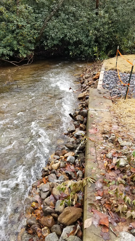 Hickory Nut Cove TrailHiking · ~14 min drivePhoto: ChattOconeeNF, CC BY 2.0 (via Flickr)
 Becky Branch FallsHiking · ~6 min drivePhoto: JM Palacios, CC BY-SA 2.0 (via Flickr)
 Bartram TrailHiking · ~15 min drivePhoto: Jsfouche, CC BY-SA 3.0 (via Wikimedia Commons)
Best months: March–November. Best months have typical highs of 55–85 °F, lows of 30 °F or warmer (32 °F where the station doesn't record snow), at most one snowy day and no more than 12 wet days.
Jan
45° / 26°
Feb
49° / 29°
Mar
55° / 34°
Apr
64° / 42°
May
69° / 50°
Jun
74° / 59°
Jul
77° / 61°
Aug
76° / 60°
Sep
72° / 55°
Oct
65° / 45°
Nov
57° / 36°
Dec
49° / 30°
Typical high / low (°F) and days with rain or snow, 1991–2020. Measured at Mtn City 2 Sw, GA, 0.6 mi away at 3,464 ft. This station doesn't record snowfall. Source: NOAA NCEI U.S. Climate Normals 1991–2020.
Spring 2026 Forest-wide Fire Restrictions
Chattahoochee-Oconee National Forests · Order dated April 23, 2026; seen Aug 23, 2026 → lifted Oct 13, 2026 · Forest Service
Map and trail data © OpenStreetMap contributors


