South Point Trail
At a glance
South Point Trail is an easy hike of about 1.85 miles on the National Park Service land of Cumberland Island National Seashore in Georgia. It's an out-and-back route, and the trail's low point sits at sea level while its high point rises to about 10 feet. That makes it a gentle walk with almost no elevation gain to plan around, suitable for a casual outing on the seashore. The trail is within Cumberland Island National Seashore, which the National Park Service manages. Spring and fall are the most comfortable times to go. Typical averages from a nearby weather station in Fernandina Beach, Florida, run from highs around 77°F in April to about 80°F in October, while summer brings highs near 90°F and the most wet days of the year. Several other trails lie close by. Fort Clinch State Park Trail and the Hiking and Biking Trail are each about 1.4 miles away, and Dungeness Crossing and Beach Creek Trail are within about 1.7 miles. For an overnight stay, Cumberland Island National Seashore Camping Permits is roughly 5.8 miles away.
- round trip
- 1.9 mi
- high point
- 10 ft
- route
- Out and back
- difficulty
- Easy
- best months
- Oct–May
Where it is: Cumberland Island National Seashore
Best time to visit South Point Trail
Best months: October–May. Best months have typical highs of 55–85 °F, lows of 30 °F or warmer (32 °F where the station doesn't record snow), at most one snowy day and no more than 12 wet days.
Jan
64°
45°
9 wet
Feb
67°
49°
8 wet
Mar
72°
54°
8 wet
Apr
77°
60°
7 wet
May
84°
68°
7 wet
Jun
88°
73°
11 wet
Jul
91°
75°
13 wet
Aug
90°
75°
13 wet
Sep
86°
73°
12 wet
Oct
80°
65°
8 wet
Nov
72°
56°
7 wet
Dec
66°
49°
9 wet
Typical high / low (°F) and days with rain or snow, 1991–2020. Measured at Fernandina Beach, FL, 4 mi away at 49 ft. Source: NOAA NCEI U.S. Climate Normals 1991–2020.
Been here? Tell people how it was.
- Hiking and Biking TrailHiking1.4 mi
- Fort Clinch State Park TrailHiking1.4 mi
 Dungeness CrossingHikingPhoto: Douglas Goldman, CC BY-SA 4.0 (via Wikimedia Commons)1.6 mi
- Beach Creek TrailHikingPhoto: Douglas Goldman, CC BY-SA 4.0 (via Wikimedia Commons)1.7 mi
- Magnolia Nature TrailHiking1.9 mi
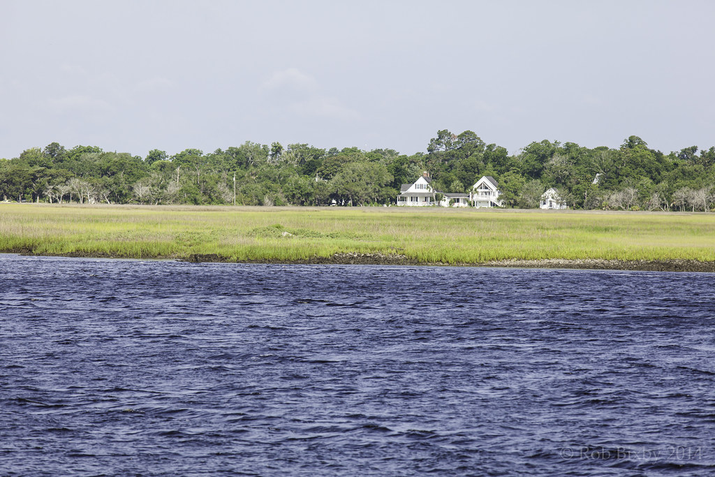 Parallel TrailHikingPhoto: Rob Bixby, CC BY 2.0 (via Flickr)2.1 mi
- Sea Camp TrailHikingPhoto: Rob Bixby, CC BY 2.0 (via Flickr)2.9 mi
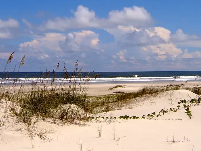 Cumberland Island National Seashore Camping PermitsCampingPhoto: Recreation.gov (RIDB) / public domain5.8 mi
- Dungeness CrossingHikingPhoto: Douglas Goldman, CC BY-SA 4.0 (via Wikimedia Commons)~3 min drive
- Hiking and Biking TrailHiking~2 min drive
- Beach Creek TrailHikingPhoto: Douglas Goldman, CC BY-SA 4.0 (via Wikimedia Commons)~3 min drive
- Parallel TrailHiking~10 min drive
- Nightingale Trail - Stop 7 Resurrection FernHiking~3 min drive
- Parallel TrailHikingPhoto: Rob Bixby, CC BY 2.0 (via Flickr)~4 min drive
- Nightingale Trail - Trailhead NorthHiking~4 min drive
- River Trail Stop 1Hiking~4 min drive
- River Trail Stop 2Hiking~4 min drive
- River Trail Stop 3Hiking~4 min drive
Conditions and forecast
Daily highs and lows, wind and the chance of precipitation at Start for the next 7 days, from the Open-Meteo model.
Ask about this place
Questions about South Point Trail: conditions, access, timing. Answers say when something isn't known.
