Free — you'll pick up right here.
Watch this trail
Sign up to watch it — saving subscribes you to gate, closure and report changes.
Georgia
Parallel Trail
2.9 mi
Distance
10 ft
Gain
Conditions: Caution
for hike, todayWeather is marginal
1 factor · 1 source
Observed 8 h ago
caution: Weather
Rain, high 74°F / low 73°F, 100% precip — 64/100 for hike
OpenWeather8 h ago
Been out here in the last few days? One report keeps this current for everyone.
Why you'll love it
Here's your day, mapped
Parallel Trail
AI-suggested draft · review before you go
Meals
Gear for the day
Elevation & route
- Distance
- 2.9 mi
- Elevation gain
- 10 ft
- Highest point
- 25 ft
- Lowest point
- 13 ft
Photos
Directions & GPX
Permits & access
- Managing agency
- National Park Service
About this trail
Parallel Trail is a 2.86-mile out-and-back route in Georgia managed by the National Park Service. The trail gains 10 feet of elevation and reaches a maximum elevation of 25 feet.
Add to a trip & share
Keep exploring — more trails worth the drive
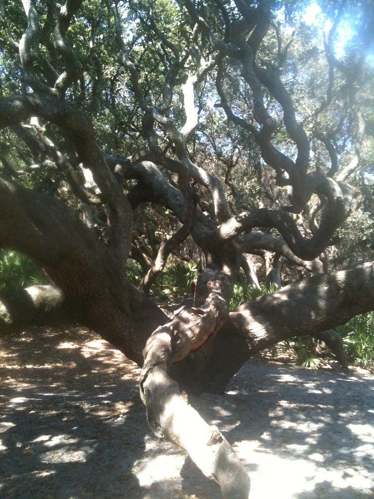 Photo: djuggler, CC BY-SA 2.0 (via Flickr)
Ranger Station Trail
~5 min drive
2.22-mile out-and-back hike in Georgia with 10 ft of elevation gain.
Hiking and Biking Trail
~12 min drive
6.5-mile out-and-back hiking and biking trail in Florida with 411 ft elevation gain
South Cut Trail
~10 min drive
South Cut Trail is a 3.12-mile out-and-back trail in Georgia.
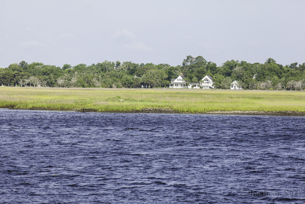 Photo: Rob Bixby, CC BY 2.0 (via Flickr)
Sea Camp Loop Trail
~5 min drive
0.34-mile out-and-back trail in Georgia managed by the National Park Service.
Photo: Rob Bixby, CC BY 2.0 (via Flickr)Sea Camp Trail
~5 min drive
0.86-mile out-and-back trail in Georgia with 46 ft of elevation gain.
River Trail Stop 9
~5 min drive
Stop #9: Wax myrtle (Myrica cerifera) Wax Myrtle is the small shrubby plant surrounding post number 9. Its leaves are light to dark green and are skinny, elongated leaves, with slight toothing near the edge. This evergreen shrub is found in the dunes as well as the forest.…
River Trail Stop 8
~6 min drive
Stop #8: Smilax (Smilax sp.) Look above the shrubs to find this vine. You can also see the smilax growing on the west side of the trail on top of Red Bay and up from the ground. It may be hard to identify in the winter months, as some species are deciduous. Smilax is a genus…
River Trail Stop 7
~6 min drive
Stop #7: Live Oak (Quercus virginiana) The live oak trunk is to the left of post number 7. The live oak is the dominant tree in the maritime forest. Its dark green leaves are present throughout winter until the new leaves appear in the spring. The outstretched branches form…
River Trail Stop 6
~6 min drive
Stop #6: Red cedar (Juniperus virginiana) When facing post number 6, the red cedar is the large tree with flakey bark to the right of the post. The eastern red cedar is actually in the juniper family. Cedar trees, such as the one to the left, are an aromatic evergreen. They…
River Trail Stop 3
~6 min drive
Stop #3: Red bay (Persea borbonia) When facing post number three, the red bay can be found just to the right of the post. It may have brown leaves and look dead. Smaller, younger red bay trees can also be seen further to the left and right of the post. They have large dark…
