Nightingale Trail - Trailhead North
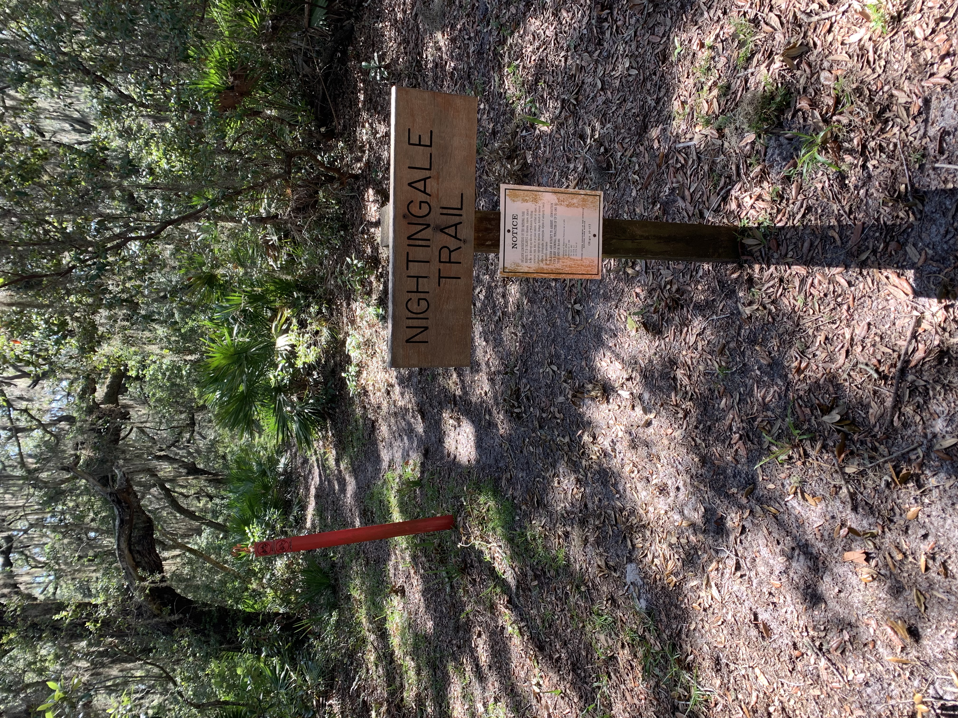 Photo: NPS photo
- 0.7 mi
- round trip
- 44 ft
- climb
- 18 ft
- high point
- Out and back
- route
- Sep–May
- best months
Is Nightingale Trail - Trailhead North open right now?
Alert in the area
The National Park Service lists an alert for Cumberland Island National Seashore.
Scam Warning - Book ferry tickets through concessioner site only
Park alert covering Cumberland Island National Seashore · NPS · Cumberland Island National Seashore
As of · Source: NPS · Cumberland Island National Seashore. Agencies don't list every closure — check before you go.
You have reached the last stop on the tour. Walking the main road to the left will take you to the Dungeness dock access road, approximately 0.5 miles. Walking to the right will take you to Sea Camp dock access road at 1 mile.
- River Trail Stop 2Hiking · Next door
- Parallel TrailHiking · ~6 min drive
- River Trail Stop 3Hiking · Next door
- Hiking and Biking TrailHiking · ~6 min drive
- River Trail Stop 1Hiking · Next door
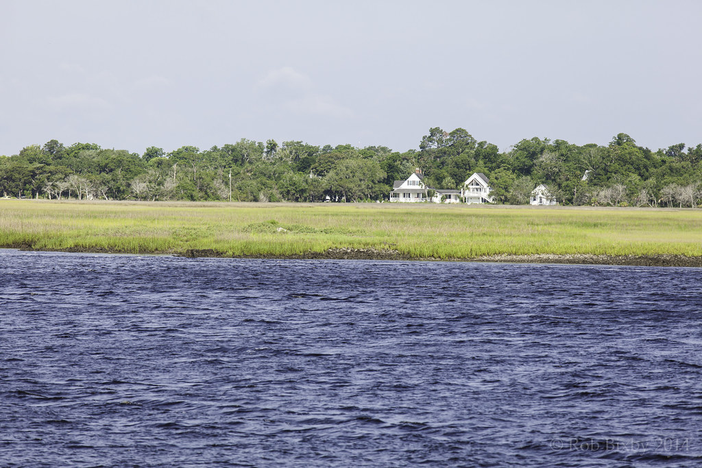 Parallel TrailHiking · Next doorPhoto: Rob Bixby, CC BY 2.0 (via Flickr)
- River Trail Stop 6Hiking · Next door
- Nightingale Trail - Stop 7 Resurrection FernHiking · Next door
- River Trail Stop 7Hiking · Next door
- River Trail Stop 8Hiking · Next door
Best time to visit Nightingale Trail - Trailhead North
Best months: September–May. Best months have typical highs of 55–85 °F, lows of 30 °F or warmer (32 °F where the station doesn't record snow), at most one snowy day and no more than 12 wet days.
Jan
62° / 43°
8 wet
Feb
65° / 45°
8 wet
Mar
70° / 51°
8 wet
Apr
76° / 57°
7 wet
May
82° / 65°
8 wet
Jun
86° / 71°
11 wet
Jul
89° / 74°
12 wet
Aug
88° / 74°
13 wet
Sep
85° / 71°
11 wet
Oct
79° / 62°
9 wet
Nov
71° / 52°
7 wet
Dec
65° / 46°
8 wet
Typical high / low (°F) and days with rain or snow, 1991–2020. Measured at Brunswick 23 S, GA, 3.7 mi away at 25 ft. This station doesn't record snowfall. Source: NOAA NCEI U.S. Climate Normals 1991–2020.
