Dungeness Crossing
 Photo: Douglas Goldman, CC BY-SA 4.0 (via Wikimedia Commons)
- 0.4 mi
- round trip
- 36 ft
- climb
- 24 ft
- high point
- Out and back
- route
- Sep–May
- best months
Is Dungeness Crossing open right now?
Alert in the area
The National Park Service lists an alert for Cumberland Island National Seashore.
Scam Warning - Book ferry tickets through concessioner site only
Park alert covering Cumberland Island National Seashore · NPS · Cumberland Island National Seashore
As of · Source: NPS · Cumberland Island National Seashore. Agencies don't list every closure — check before you go.
Dungeness Crossing is a short, easy hike on Cumberland Island National Seashore in Georgia, managed by the National Park Service. The route is 0.8 miles long and roughly flat, with a total elevation gain and loss of 36 feet each. It makes a quick stop for anyone exploring the park's trail network near the shoreline. Spring and fall are the most comfortable times to visit. Typical averages from a nearby weather station show April highs around 76°F and October highs around 79°F, while July and August climb to the upper 80s and bring the most wet days of the year. A fee is charged for the hike. Beach Creek Trail lies just 0.2 miles away, and Parallel Trail is about 0.6 miles off. Sea Camp Trail and South Point Trail are both within 1.6 miles.
Best time to go · Sep–May
Best time to visit Dungeness Crossing
Best months: September–May. Best months have typical highs of 55–85 °F, lows of 30 °F or warmer (32 °F where the station doesn't record snow), at most one snowy day and no more than 12 wet days.
Jan
62° / 43°
8 wet
Feb
65° / 45°
8 wet
Mar
70° / 51°
8 wet
Apr
76° / 57°
7 wet
May
82° / 65°
8 wet
Jun
86° / 71°
11 wet
Jul
89° / 74°
12 wet
Aug
88° / 74°
13 wet
Sep
85° / 71°
11 wet
Oct
79° / 62°
9 wet
Nov
71° / 52°
7 wet
Dec
65° / 46°
8 wet
Typical high / low (°F) and days with rain or snow, 1991–2020. Measured at Brunswick 23 S, GA, 4.4 mi away at 25 ft. This station doesn't record snowfall. Source: NOAA NCEI U.S. Climate Normals 1991–2020.
Keep exploring — more trails worth the drive
Photo: Douglas Goldman, CC BY-SA 4.0 (via Wikimedia Commons)Beach Creek Trail
Next door
0.39-mile out-and-back trail in Georgia with 12 ft of elevation gain.
HIKE
Hiking and Biking Trail
~5 min drive
6.5-mile out-and-back hiking and biking trail in Florida with 411 ft elevation gain
HIKE
Nightingale Trail - Stop 7 Resurrection Fern
Next door
Resurrection Fern “Polypodium polypodioides” This epiphyte (air plant) is growing at eye level on the curved tree trunk to the right of the marker. These small ferns have adapted well to living on the spreading branches of Live oaks. They draw their nutrients from decaying…
HIKE
Parallel Trail
~7 min drive
2.86-mile out-and-back trail in Georgia with 10 ft of elevation gain.
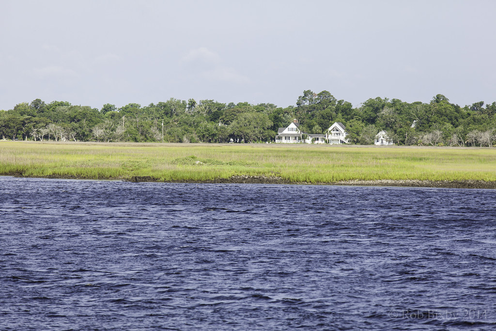 Photo: Rob Bixby, CC BY 2.0 (via Flickr)
Parallel Trail
Next door
2.0-mile out-and-back trail in Georgia with 47 ft elevation gain.
HIKE
Nightingale Trail - Trailhead North
~1 min drive
You have reached the last stop on the tour. Walking the main road to the left will take you to the Dungeness dock access road, approximately 0.5 miles. Walking to the right will take you to Sea Camp dock access road at 1 mile.
HIKE
River Trail Stop 1
~2 min drive
Stop #1: Pine (Pinus sp) Yellow pine is a generic term for several species of pine trees that are found in the Southeastern United States. When facing post number one, look east and slightly south. The Pine tree towers into the canopy above Red Bay and shrubs. Vines climb…
HIKE
River Trail Stop 2
~2 min drive
Stop #2: Cabbage palm (Sabal palmetto) Cabbage palms are native to our area and provided many uses to native peoples. When facing post number two, a cabbage palm grows directly behind the post, and another to the right of the post. They grow vertically into the typical palm…
HIKE
River Trail Stop 3
~2 min drive
Stop #3: Red bay (Persea borbonia) When facing post number three, the red bay can be found just to the right of the post. It may have brown leaves and look dead. Smaller, younger red bay trees can also be seen further to the left and right of the post. They have large dark…
HIKE
River Trail Stop 6
~2 min drive
Stop #6: Red cedar (Juniperus virginiana) When facing post number 6, the red cedar is the large tree with flakey bark to the right of the post. The eastern red cedar is actually in the juniper family. Cedar trees, such as the one to the left, are an aromatic evergreen. They…
Map and trail data © OpenStreetMap contributors
