Backcountry 4
Campground
Campground · 0.5 mi from the trail
Atlatl is an easy out-and-back hike in Cloudland Canyon State Park in northwest Georgia, managed by the State Department of Natural Resources. The trail is about 2.8 miles long, with a one-way climb of 113 feet from a starting elevation of 1,769 feet to a high point of 1,779 feet. The steepest stretch comes at about 0.4 miles in, with a grade of 9 percent. Spring and fall are the most comfortable times to go. Typical averages from a nearby weather station show October highs around 67°F with lows near 51°F, and May highs around 74°F. That station sits about 330 feet higher than the trail, so temperatures on the hike run a little warmer. Several other hikes start within a mile, including Barkeater, Great Eastern Trail - Lookout Mountain and Can't Hardly. Paddlers can find Sitton Gulch Creek about 2.8 miles away.
Backcountry 4
Campground
Canyon Grill
Restaurant
 If it rainsPub. by Cline Photo Co., Chattanooga. Tenn. "Tichnor Quality Views," Reg. U. S. Pat. Off. Made Only by Tichnor Bros.,..., Public domain · Wikimedia Commons
Ochs Memorial Museum
Museum
Places © OpenStreetMap contributors · Photos: Pub. by Cline Photo Co., Chattanooga. Tenn. "Tichnor Quality Views," Reg. U. S. Pat. Off. Made Only by Tichnor Bros.,..., Public domain (commons)
More in Red BankBest months: March–November. Best months have typical highs of 55–85 °F, lows of 30 °F or warmer (32 °F where the station doesn't record snow), at most one snowy day and no more than 12 wet days.
Jan
46° / 29°
11 wet
Feb
49° / 31°
11 wet
Mar
58° / 39°
11 wet
Apr
68° / 47°
11 wet
May
74° / 57°
11 wet
Jun
81° / 65°
11 wet
Jul
84° / 67°
11 wet
Aug
82° / 67°
10 wet
Sep
78° / 61°
8 wet
Oct
67° / 51°
9 wet
Nov
57° / 40°
9 wet
Dec
48° / 32°
11 wet
Typical high / low (°F) and days with rain or snow, 1991–2020. Measured at Lookout Mtn-Point Park, TN, 14.6 mi away at 2,110 ft. This station doesn't record snowfall. Source: NOAA NCEI U.S. Climate Normals 1991–2020.
 Photo: pseabolt, CC BY 3.0 (via Wikimedia Commons)
Cloudland Canyon
~1 min drive
1.56-mile point-to-point trail in Georgia with 128 ft elevation gain.
 Photo: The_Gut, CC BY 2.0 (via Flickr)
Bear Creek Backcountry Trail
~2 min drive
9.06-mile out-and-back hike in Georgia with 2,137 ft elevation gain.
 Photo: David Dugan, CC BY-SA 3.0 (via Wikimedia Commons)
Pocket Loop Trail
~17 min drive
8.37-mile loop in Georgia with 1,787 ft elevation gain and loss.
Photo: The_Gut, CC BY 2.0 (via Flickr)Meadowlands Trail
~2 min drive
1.12-mile out-and-back trail in Georgia with 234 ft elevation gain
 Photo: David Dugan, CC BY-SA 3.0 (via Wikimedia Commons)
Atwood Trail
~19 min drive
10.5-mile out-and-back hike in Georgia with 1,344 ft elevation gain
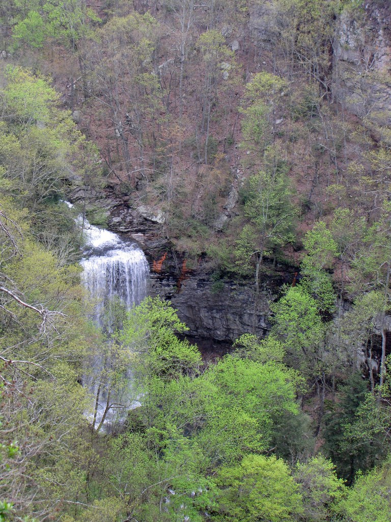 Photo: The_Gut, CC BY 2.0 (via Flickr)
West Rim Loop Trail
~2 min drive
3.41-mile out-and-back trail in Georgia with 997 ft gain.
Photo: The_Gut, CC BY 2.0 (via Flickr)Two-Mile Backcountry Trail
~2 min drive
1.80-mile loop in Georgia with 243 ft elevation gain.
 Photo: pseabolt, CC BY 3.0 (via Wikimedia Commons)
Sitton's Gulch Trail
~3 min drive
3.88-mile out-and-back trail in Georgia with 1,590 ft elevation gain.
HIKE
Barkeater
~1 min drive
2.86-mile out-and-back trail in Georgia with 566 ft elevation gain.
 Photo: pseabolt, CC BY 3.0 (via Wikimedia Commons)
Pathkiller
~2 min drive
0.68-mile out-and-back trail in Georgia with 50 ft elevation gain.
Map and trail data © OpenStreetMap contributors

