Pocket Loop Trail
 Photo: David Dugan, CC BY-SA 3.0 (via Wikimedia Commons)
- 8.4 mi
- loop
- 1,787 ft
- climb
- 2,305 ft
- high point
- Loop
- route
- Mar–Nov
- best months
Pocket Loop Trail is a moderate 8.4-mile loop in Georgia's Crockford-Pigeon Mountain Wildlife Management Area, managed by the State Department of Natural Resources. The trail starts at about 1,959 feet and climbs to a high point of 2,305 feet, with a total elevation gain of 1,787 feet. The route is rolling, and the steepest stretch comes at about 5 miles in, where the grade reaches 29%. For comfortable weather, aim for late spring or early fall. Typical averages from a nearby weather station show May highs around 74°F and October highs around 67°F, with September and October seeing the fewest wet days of the year. The trail takes about 3.5 hours to complete. High Point Trail and Atwood Trail both lie within a mile, and the Lost Wall and Rocktown climbing areas are about 2 miles away.
Conditions and forecast on Pigeon Mountain
Daily highs and lows, wind and the chance of precipitation at the summit and route start for the next 7 days, from the Open-Meteo model.
- High Point TrailHikingPhoto: David Dugan, CC BY-SA 3.0 (via Wikimedia Commons)0.5 mi
- Atwood TrailHikingPhoto: David Dugan, CC BY-SA 3.0 (via Wikimedia Commons)0.7 mi
- Lost WallRock climbing1.7 mi
- RocktownRock climbing1.9 mi
- TombstoneRock climbing2 mi
 Rocktown TrailHikingPhoto: David Dugan, CC BY-SA 3.0 (via Wikimedia Commons)2 mi
 West Chickamauga CreekCanoeingPhoto: Muhranoff, CC BY-SA 4.0 (via Wikimedia Commons)4.6 mi
- Lookout CreekCanoeing8.7 mi
Source: Roamze catalog (indexable pages within 10 miles, PostGIS distance)
- High Point TrailHiking · Next doorPhoto: David Dugan, CC BY-SA 3.0 (via Wikimedia Commons)
 Atwood TrailHiking · ~2 min drivePhoto: David Dugan, CC BY-SA 3.0 (via Wikimedia Commons)
 Hood Loop TrailHiking · ~5 min drivePhoto: David Dugan, CC BY-SA 3.0 (via Wikimedia Commons)
- Atwood TrailHiking · ~1 min drivePhoto: David Dugan, CC BY-SA 3.0 (via Wikimedia Commons)
 Bear Creek Backcountry TrailHiking · ~19 min drivePhoto: The_Gut, CC BY 2.0 (via Flickr)
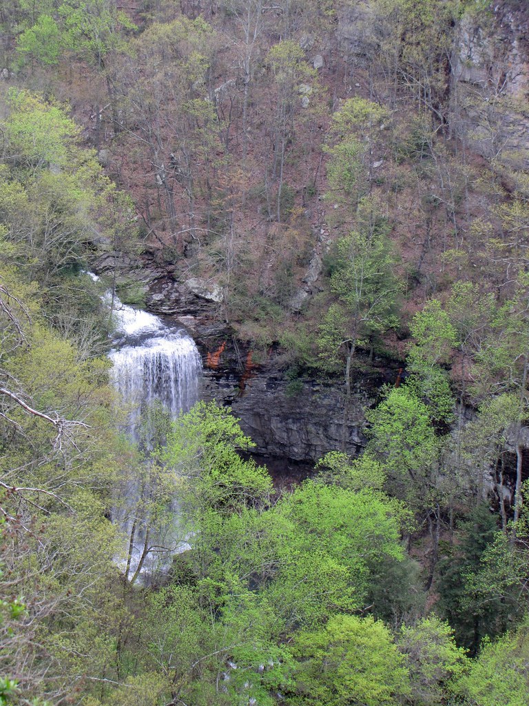 West Rim Loop TrailHiking · ~20 min drivePhoto: The_Gut, CC BY 2.0 (via Flickr)
- Rocktown TrailHiking · ~3 min drivePhoto: David Dugan, CC BY-SA 3.0 (via Wikimedia Commons)
 Sitton's Gulch TrailHiking · ~20 min drivePhoto: pseabolt, CC BY 3.0 (via Wikimedia Commons)
- Cove LoopHiking · ~8 min drive
 Hood Loop TrailHiking · ~5 min drivePhoto: David Dugan, CC BY-SA 3.0 (via Wikimedia Commons)
Also worth it near here
 Pigeon MountainSummit · ~1 min drivePhoto: Thomson200, CC0 (via Wikimedia Commons)
 Asphalt BouldersRock climbing · ~4 min drivePhoto: David Dugan, CC BY-SA 3.0 (via Wikimedia Commons)
- Dickson LakeLake fishing · ~6 min drive
- West Chickamauga CreekCanoeing · ~8 min drivePhoto: Muhranoff, CC BY-SA 4.0 (via Wikimedia Commons)
Best time to visit Pocket Loop Trail
Best months: March–November. Best months have typical highs of 55–85 °F, lows of 30 °F or warmer (32 °F where the station doesn't record snow), at most one snowy day and no more than 12 wet days.
Jan
46° / 29°
11 wet
Feb
49° / 31°
11 wet
Mar
58° / 39°
11 wet
Apr
68° / 47°
11 wet
May
74° / 57°
11 wet
Jun
81° / 65°
11 wet
Jul
84° / 67°
11 wet
Aug
82° / 67°
10 wet
Sep
78° / 61°
8 wet
Oct
67° / 51°
9 wet
Nov
57° / 40°
9 wet
Dec
48° / 32°
11 wet
Typical high / low (°F) and days with rain or snow, 1991–2020. Measured at Lookout Mtn-Point Park, TN, 22.3 mi away at 2,110 ft. This station doesn't record snowfall. Source: NOAA NCEI U.S. Climate Normals 1991–2020.
Route details
- Distance
- 8.4 mi
- Climbing
- About 1,787 ft
- Summit
- 2,331 ft
- Difficulty
- Moderate
- Time
- About 3.5 hours
Questions about this route
How long is the Pocket Loop Trail on Pigeon Mountain?
About 8.4 mi.
How much elevation gain is on the Pocket Loop Trail?
About 1,787 ft of climbing round trip.
How hard is the Pocket Loop Trail?
It is rated moderate.
How long does the Pocket Loop Trail take?
About 3.5 hours round trip.
Map and trail data © OpenStreetMap contributors
