Spring Trail
- 1.1 mi
- one way
- 12 ft
- climb
- 65 ft
- high point
- Point to point
- route
- Oct–Apr
- best months
Spring Trail is a short, easy hike in Florida, about a mile from the town of Silver Springs. It is a point-to-point route of roughly 1.1 miles, with a total elevation gain of 12 feet and a total loss of 78 feet. The trail starts at about 50 feet and reaches a high point of 65 feet, with the steepest stretch at about 0.24 miles in, where the grade is about 3 percent. The most comfortable months for a visit are typically November and March, when typical averages from a nearby weather station in Ocala run from highs around 77°F to 79°F and lows in the low 50s, with fewer wet days than the summer months, when highs reach about 92°F and rain falls on 17 days a month in July and August. Bikes are allowed, and dogs must be leashed. The trail is not wheelchair accessible. The trip takes about half an hour. Nearby, Sandhill Trail is about a mile away and Sinkhole Trail about 1.3 miles. Swamp Trail and River Trail are both within 2 miles.
Best time to go · Oct–Apr
Best time to visit Spring Trail
Best months: October–April. Best months have typical highs of 55–85 °F, lows of 30 °F or warmer (32 °F where the station doesn't record snow), at most one snowy day and no more than 12 wet days.
Jan
71° / 46°
8 wet
Feb
74° / 48°
8 wet
Mar
79° / 52°
7 wet
Apr
84° / 57°
6 wet
May
89° / 64°
8 wet
Jun
91° / 70°
14 wet
Jul
92° / 72°
17 wet
Aug
92° / 72°
17 wet
Sep
90° / 70°
13 wet
Oct
84° / 63°
9 wet
Nov
77° / 53°
6 wet
Dec
72° / 48°
7 wet
Typical high / low (°F) and days with rain or snow, 1991–2020. Measured at Ocala, FL, 3.8 mi away at 75 ft. This station doesn't record snowfall. Source: NOAA NCEI U.S. Climate Normals 1991–2020.
Keep exploring — more trails worth the drive
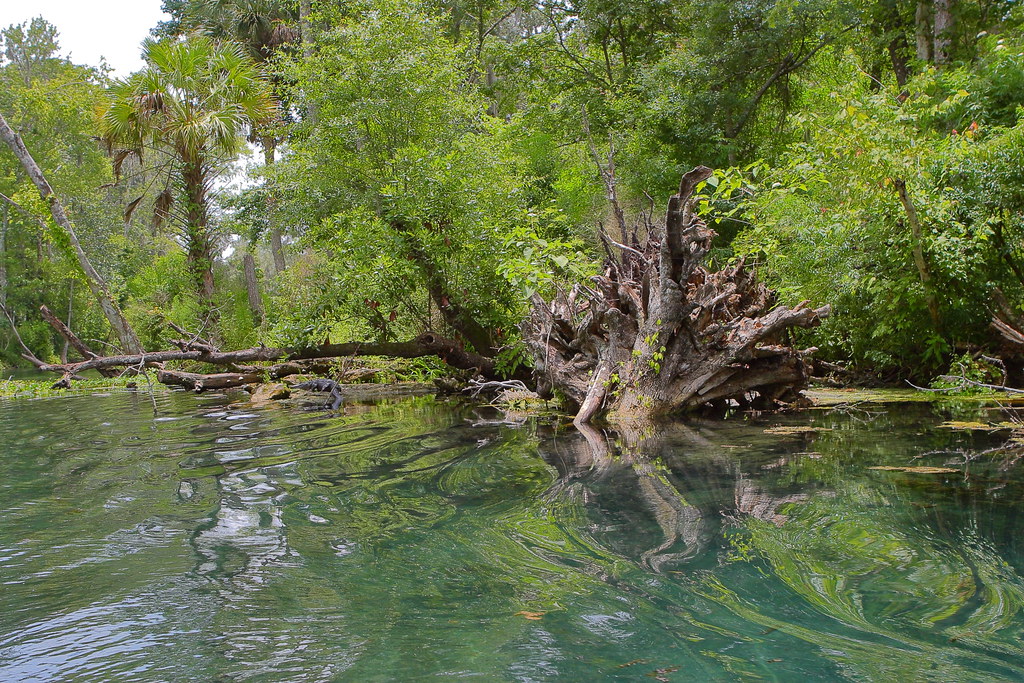 Photo: Wloski, CC BY-SA 2.0 (via Flickr)
Sandhill Trail
~2 min drive
1.66-mile loop trail in Florida with 59 ft gain and 98 ft loss.
 Photo: Miosotis Jade, CC BY-SA 4.0 (via Wikimedia Commons)
Lake, Alachua, Marion (Lam) Tr
~26 min drive
44.00-mile out-and-back trail in Florida with 724 ft gain and 791 ft loss.
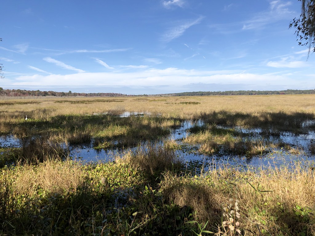 Photo: clembore, CC BY-SA 2.0 (via Flickr)
Hammock Loop
~45 min drive
Scenic point-to-point trail through Florida hammock forest.
Photo: Wloski, CC BY-SA 2.0 (via Flickr)Sinkhole Trail
~2 min drive
1.71-mile loop with 134 ft gain in Florida.
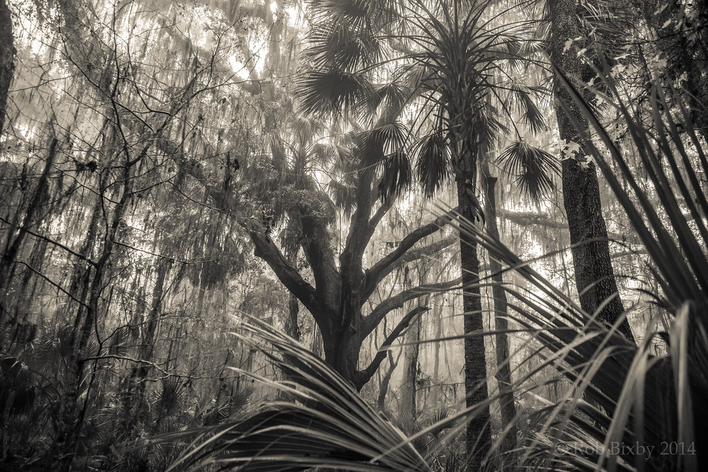 Photo: Rob Bixby, CC BY 2.0 (via Flickr)
Paynes Prairie Preserve State Park Trail
~45 min drive
15.70-mile out-and-back trail in Florida with 364 ft gain and 650 ft loss.
 Photo: gary_leavens, CC BY-SA 2.0 (via Flickr)
Bolen Bluff Trail
~49 min drive
Easy 2-mile out-and-back trail through Florida's natural landscape.
 Photo: homeredwardprice, CC BY 2.0 (via Wikimedia Commons)
River Trail
~3 min drive
Easy riverside point-to-point trail perfect for a quick Florida nature walk.
HIKE
Flatwoods Riding Loop
~47 min drive
28-mile out-and-back trail in Florida with 488 ft elevation gain
HIKE
Ocala Urban Greenway
~9 min drive
5.62-mile out-and-back trail in Florida with 208 ft gain.
Photo: homeredwardprice, CC BY 2.0 (via Wikimedia Commons)Ocala National Forest to Cross Florida Greenway Connector
~5 min drive
1.18-mile out-and-back trail in Ocala National Forest connecting to the Cross Florida Greenway.

Map and trail data © OpenStreetMap contributors
