Ocala National Forest to Cross Florida Greenway Connector
 Photo: homeredwardprice, CC BY 2.0 (via Wikimedia Commons)
- 1.2 mi
- round trip
- 26 ft
- climb
- 68 ft
- high point
- Out and back
- route
- Oct–Apr
- best months
The Ocala National Forest to Cross Florida Greenway Connector is a short out-and-back trail in Florida's Ocala National Forest, covering 1.18 miles with 20 feet of elevation gain. The route follows a gentle path through the forest and connects to the Cross Florida Greenway system.
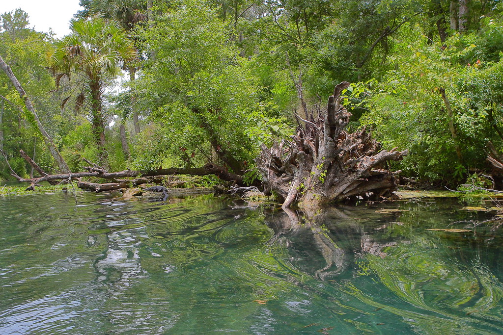 Sinkhole TrailHiking · ~3 min drivePhoto: Wloski, CC BY-SA 2.0 (via Flickr)
 Lake, Alachua, Marion (Lam) TrHiking · ~22 min drivePhoto: Miosotis Jade, CC BY-SA 4.0 (via Wikimedia Commons)
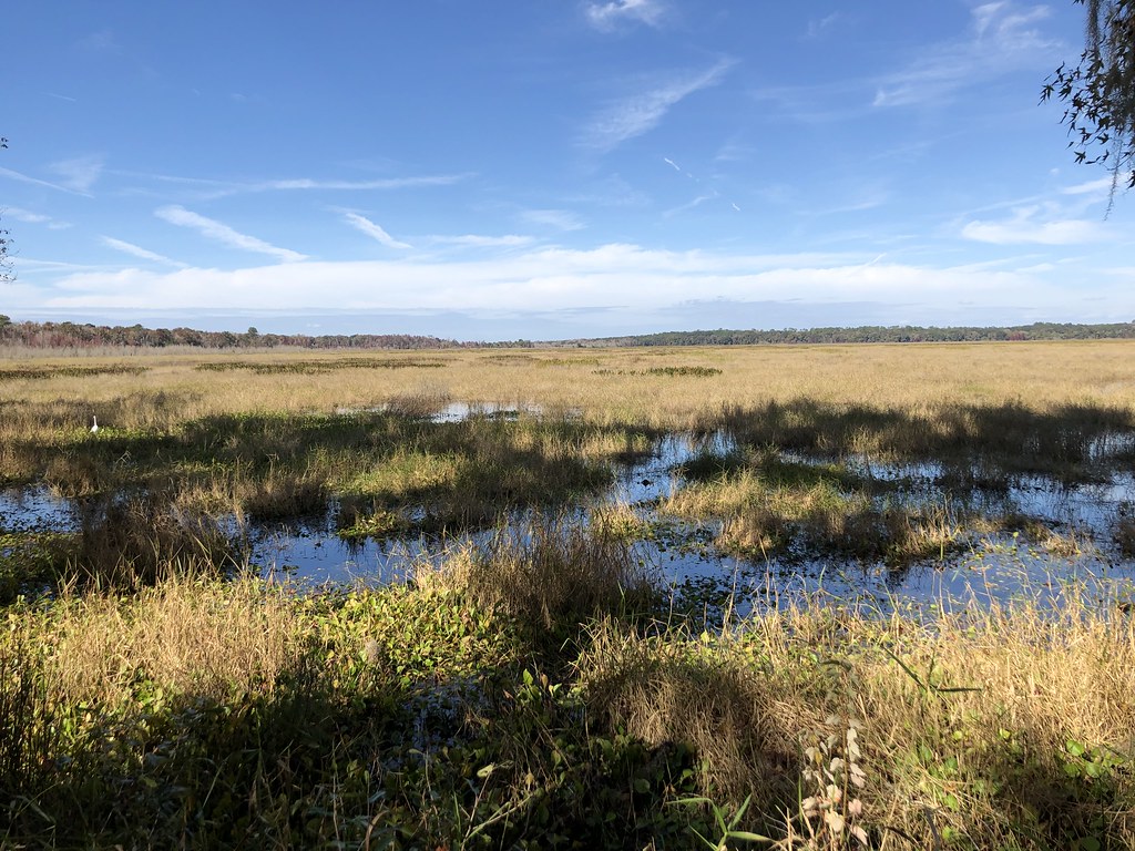 Hammock LoopHiking · ~50 min drivePhoto: clembore, CC BY-SA 2.0 (via Flickr)
- Sandhill TrailHiking · ~4 min drivePhoto: Wloski, CC BY-SA 2.0 (via Flickr)
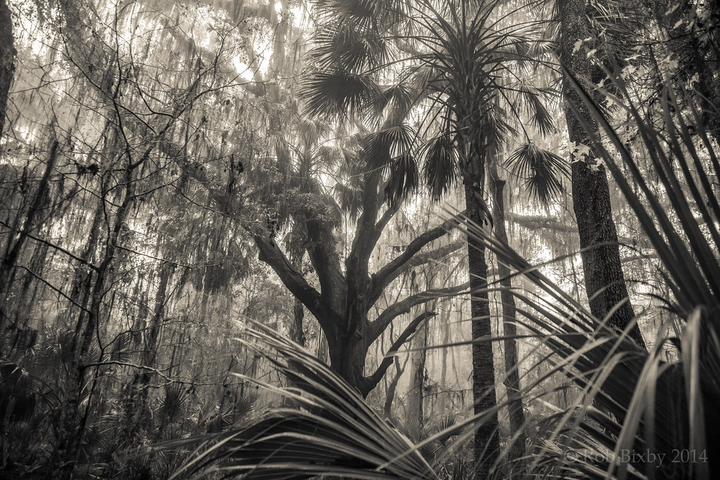 Paynes Prairie Preserve State Park TrailHiking · ~50 min drivePhoto: Rob Bixby, CC BY 2.0 (via Flickr)
 Bolen Bluff TrailHiking · ~55 min drivePhoto: gary_leavens, CC BY-SA 2.0 (via Flickr)
 Juniper Springs Nature TrailHiking · ~32 min drivePhoto: Guillaume Capron, CC BY-SA 2.0 (via Flickr)
- Prairie Riding LoopHiking · ~44 min drive
- Ocala Urban GreenwayHiking · ~6 min drive
- Still Branch CrossingHiking · ~50 min drivePhoto: clembore, CC BY-SA 2.0 (via Flickr)
Best time to visit Ocala National Forest to Cross Florida Greenway Connector
Best months: October–April. Best months have typical highs of 55–85 °F, lows of 30 °F or warmer (32 °F where the station doesn't record snow), at most one snowy day and no more than 12 wet days.
Jan
71° / 46°
8 wet
Feb
74° / 48°
8 wet
Mar
79° / 52°
7 wet
Apr
84° / 57°
6 wet
May
89° / 64°
8 wet
Jun
91° / 70°
14 wet
Jul
92° / 72°
17 wet
Aug
92° / 72°
17 wet
Sep
90° / 70°
13 wet
Oct
84° / 63°
9 wet
Nov
77° / 53°
6 wet
Dec
72° / 48°
7 wet
Typical high / low (°F) and days with rain or snow, 1991–2020. Measured at Ocala, FL, 4.1 mi away at 75 ft. This station doesn't record snowfall. Source: NOAA NCEI U.S. Climate Normals 1991–2020.

