Pinelands Trail
 Photo: daveynin, CC BY 2.0 (via Flickr)
- 0.4 mi
- loop
- 5 ft
- high point
- Loop
- route
- Easy
- difficulty
- Nov–Mar
- best months
Is Pinelands Trail open right now?
Closure in the area
There's a closure order in Everglades National Park. It doesn't name Pinelands Trail, so check the source for the area it covers.
Current Alerts and Conditions
Park closure covering Everglades National Park · NPS · Everglades National Park
Roadwork may cause delays on US 41/Tamiami Trail
Park alert covering Everglades National Park · NPS · Everglades National Park
As of · Source: NPS · Everglades National Park. Agencies don't list every closure — check before you go.
Pinelands Trail is a short, easy loop in Everglades National Park in Florida, managed by the National Park Service. The trail is 0.39 miles long and sits at nearly sea level, with a high point of about 5 feet and a low of about 4 feet. It is a flat, low-impact walk, and the total elevation gain is zero. The most comfortable time to visit is winter and early spring. Typical averages from a nearby weather station show January highs around 78°F with lows near 55°F and only about six wet days. Summer is hotter and wetter, with highs in the low 90s and rain on 17 to 19 days a month from June through September. The trail starts at the Everglades Pine Island Pinelands Trailhead, and the walk takes about half an hour. Several other trails lie within a few miles, including Fr#6 about a mile away, the Three in One Hiking Trail at 1.8 miles, the Long Pine Key Trail at 2.1 miles and the Anhinga Trail at about 5.4 miles.
- Fr#6HikingPhoto: daveynin, CC BY 2.0 (via Flickr)1 mi
 Three in One Hiking TrailHikingPhoto: SridharSaraf, CC BY-SA 2.0 (via Flickr)1.8 mi
 Long Pine Key TrailHikingPhoto: SridharSaraf, CC BY-SA 2.0 (via Flickr)2.1 mi
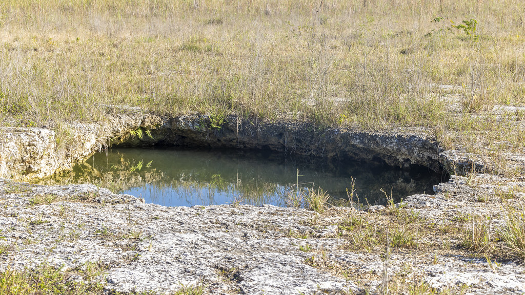 Fr#9HikingPhoto: gary_leavens, CC BY-SA 2.0 (via Flickr)3.3 mi
- Fr#11HikingPhoto: gary_leavens, CC BY-SA 2.0 (via Flickr)3.4 mi
- Fr#1Hiking4.6 mi
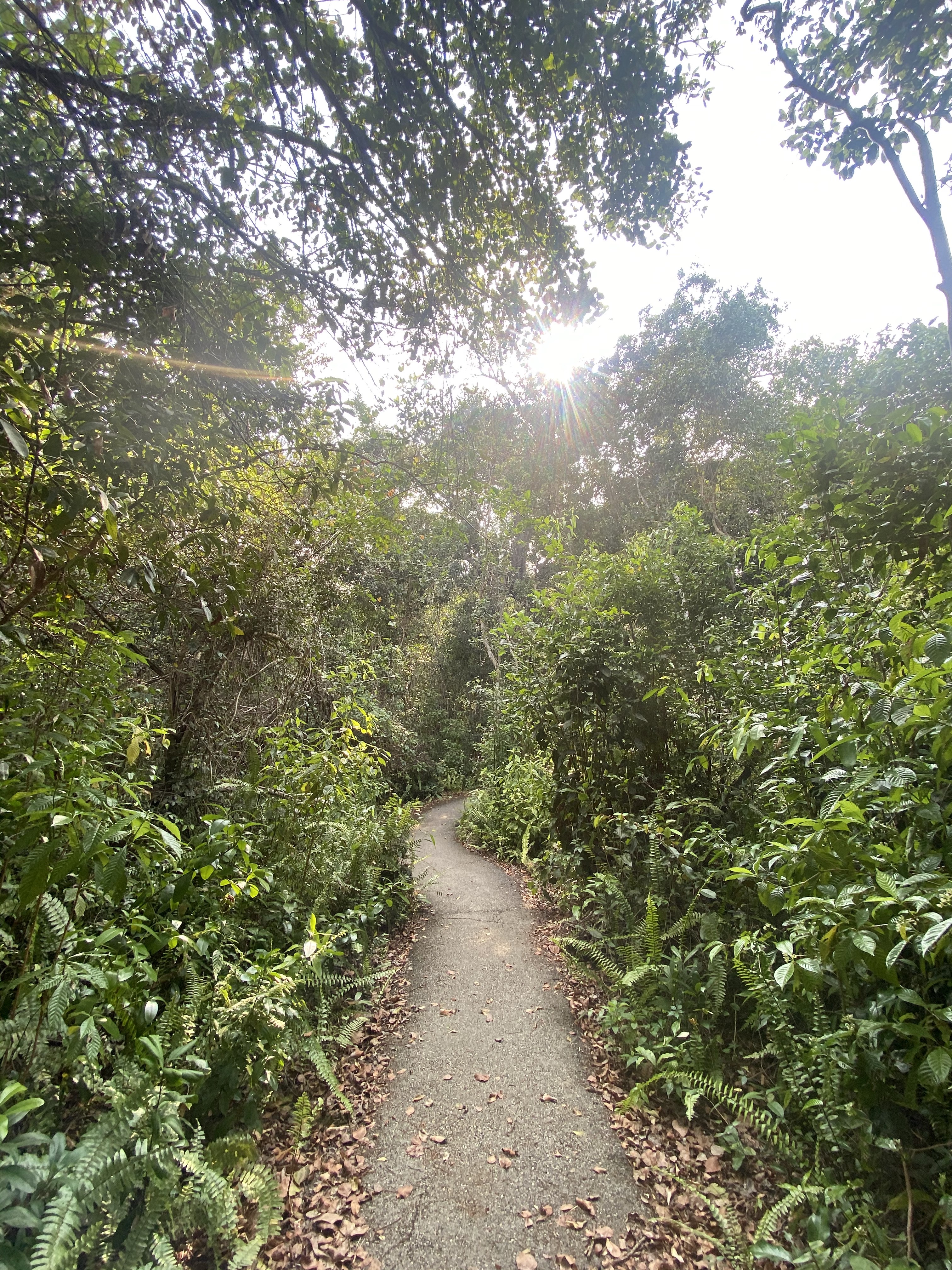 Gumbo Limbo TrailHikingPhoto: NPS Photo/ D Turffs5.2 mi
 Anhinga TrailHikingPhoto: paulsmithrj, CC BY-SA 3.0 (via Wikimedia Commons)5.4 mi
Source: Roamze catalog (indexable pages within 10 miles, PostGIS distance)
- Fr#6Hiking · ~2 min drivePhoto: daveynin, CC BY 2.0 (via Flickr)
 Fr#5Hiking · ~2 min drivePhoto: daveynin, CC BY 2.0 (via Flickr)
- Long Pine Key TrailHiking · ~4 min drivePhoto: SridharSaraf, CC BY-SA 2.0 (via Flickr)
 Fr#3Hiking · ~3 min drivePhoto: SridharSaraf, CC BY-SA 2.0 (via Flickr)
- Boundary LineHiking · ~41 min drive
- Three in One Hiking TrailHiking · ~3 min drivePhoto: SridharSaraf, CC BY-SA 2.0 (via Flickr)
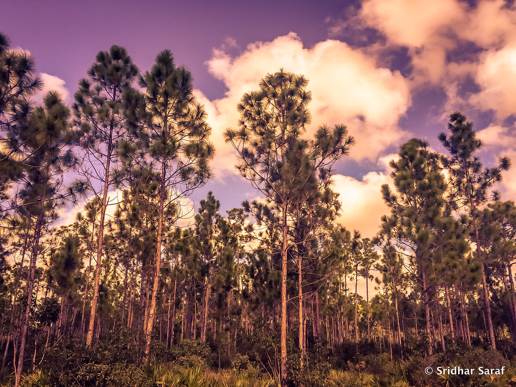 Fr#8Hiking · ~4 min drivePhoto: SridharSaraf, CC BY-SA 2.0 (via Flickr)
- Fr#11Hiking · ~6 min drivePhoto: gary_leavens, CC BY-SA 2.0 (via Flickr)
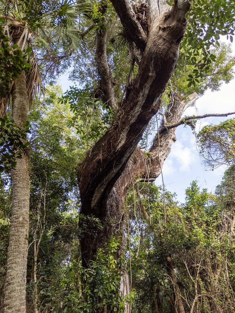 Mahogany Hammock Boardwalk TrailHiking · ~20 min drivePhoto: RuggyBearLA, CC BY 2.0 (via Flickr)
- Snake Bight Hiking TrailHiking · ~34 min drive
Best time to visit Pinelands Trail
Best months: November–March. Best months have typical highs of 55–85 °F, lows of 30 °F or warmer (32 °F where the station doesn't record snow), at most one snowy day and no more than 12 wet days.
Jan
78° / 55°
6 wet
Feb
81° / 56°
6 wet
Mar
83° / 58°
7 wet
Apr
86° / 62°
7 wet
May
89° / 67°
11 wet
Jun
91° / 72°
17 wet
Jul
92° / 74°
18 wet
Aug
93° / 74°
19 wet
Sep
91° / 74°
18 wet
Oct
88° / 71°
13 wet
Nov
83° / 64°
8 wet
Dec
80° / 59°
7 wet
Typical high / low (°F) and days with rain or snow, 1991–2020. Measured at Royal Palm Rs, FL, 5.9 mi away at 7 ft. Source: NOAA NCEI U.S. Climate Normals 1991–2020.

Map and trail data © OpenStreetMap contributors
