Fr#6
 Photo: daveynin, CC BY 2.0 (via Flickr)
- 3.8 mi
- round trip
- 82 ft
- climb
- 5 ft
- high point
- Out and back
- route
- Nov–Mar
- best months
Is Fr#6 open right now?
Closure in the area
There's a closure order in Everglades National Park. It doesn't name Fr#6, so check the source for the area it covers.
Current Alerts and Conditions
Park closure covering Everglades National Park · NPS · Everglades National Park
Roadwork may cause delays on US 41/Tamiami Trail
Park alert covering Everglades National Park · NPS · Everglades National Park
As of · Source: NPS · Everglades National Park. Agencies don't list every closure — check before you go.
Fr#6 is a moderate out-and-back hike in Everglades National Park in Florida, managed by the National Park Service. The route is about 7.7 miles long, and the trail stays nearly flat, with a high point of about 5 feet and a low of about 3 feet. The steepest stretch comes at about 2.8 miles in, with a grade of about 2 percent. The nearest town is Gateway West, about 11.5 miles away. A fee is charged for the visit. The most comfortable months are winter and early spring. Typical averages from a nearby weather station show January highs around 78°F with lows near 55°F and about six wet days. Summer is hotter and wetter, with highs in the low 90s and 17 to 19 wet days a month from June through September. Several other trails sit close by. The Pinelands Trail and the Three in One Hiking Trail are each about a mile away, and the Long Pine Key Trail is about 1.2 miles off. The Gumbo Limbo Trail is about 4.2 miles away.
Best time to go · Nov–Mar
Best time to visit Fr#6
Best months: November–March. Best months have typical highs of 55–85 °F, lows of 30 °F or warmer (32 °F where the station doesn't record snow), at most one snowy day and no more than 12 wet days.
Jan
78° / 55°
6 wet
Feb
81° / 56°
6 wet
Mar
83° / 58°
7 wet
Apr
86° / 62°
7 wet
May
89° / 67°
11 wet
Jun
91° / 72°
17 wet
Jul
92° / 74°
18 wet
Aug
93° / 74°
19 wet
Sep
91° / 74°
18 wet
Oct
88° / 71°
13 wet
Nov
83° / 64°
8 wet
Dec
80° / 59°
7 wet
Typical high / low (°F) and days with rain or snow, 1991–2020. Measured at Royal Palm Rs, FL, 5 mi away at 7 ft. Source: NOAA NCEI U.S. Climate Normals 1991–2020.
Keep exploring — more trails worth the drive
Photo: daveynin, CC BY 2.0 (via Flickr)Pinelands Trail
~2 min drive
Easy loop through Florida's pine flatwoods ecosystem.
 Photo: SridharSaraf, CC BY-SA 2.0 (via Flickr)
Long Pine Key Trail
~2 min drive
6.64-mile point-to-point trail through Florida's pine flatwoods.
 Photo: SridharSaraf, CC BY-SA 2.0 (via Flickr)
Three in One Hiking Trail
~2 min drive
Short point-to-point trail through Florida's natural landscape.
HIKE
Boundary Line
~42 min drive
7.84-mile out-and-back trail in Florida with 6 ft gain.
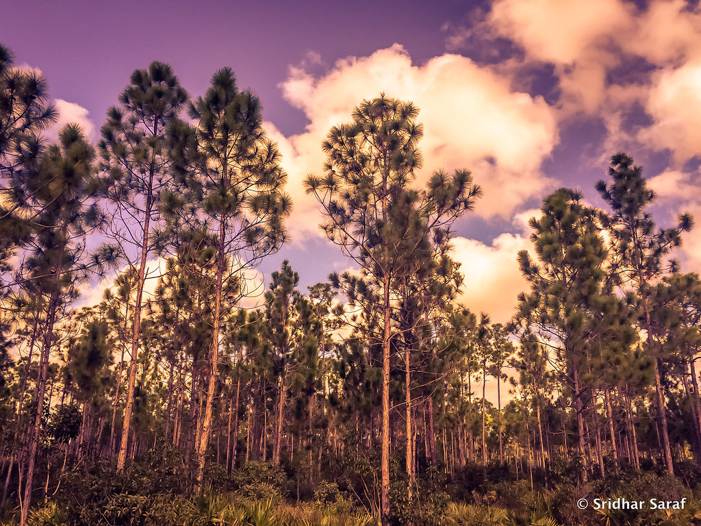 Photo: SridharSaraf, CC BY-SA 2.0 (via Flickr)
Fr#8
~3 min drive
Fr#8 is a 0.64-mile out-and-back trail in Florida with 14 ft of elevation gain.
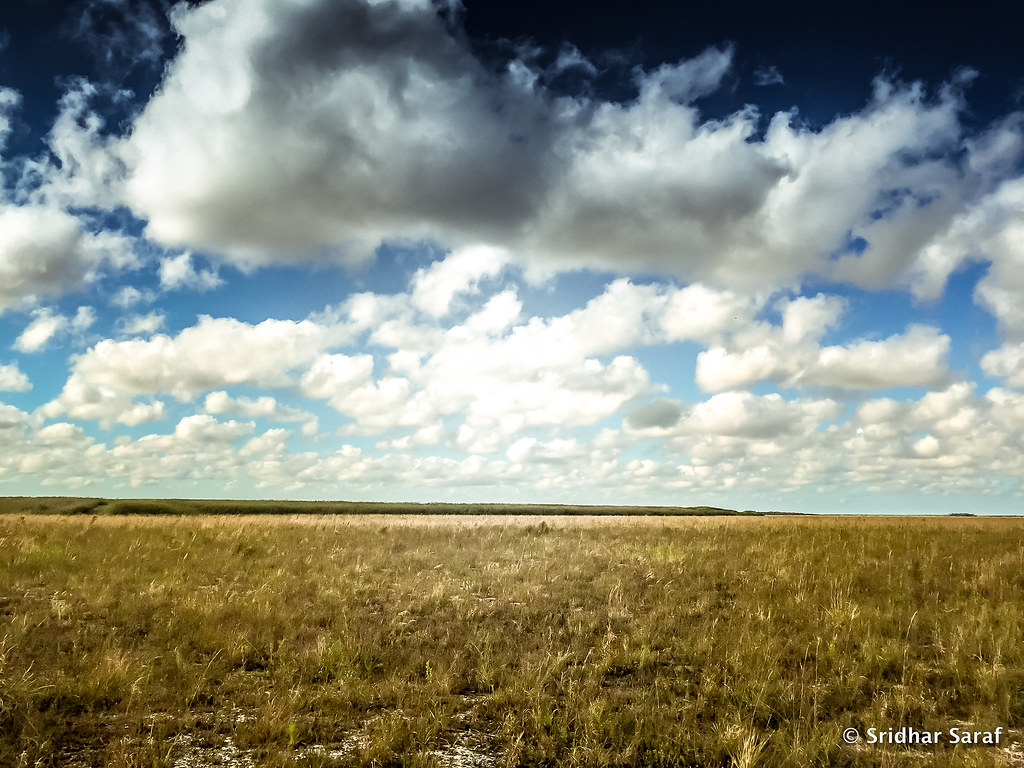 Photo: SridharSaraf, CC BY-SA 2.0 (via Flickr)
Fr#3
~3 min drive
0.97-mile out-and-back trail in Florida with 12 ft gain.
 Photo: daveynin, CC BY 2.0 (via Flickr)
Fr#5
~3 min drive
Quick out-and-back trail under 1 mile in Florida.
Photo: SridharSaraf, CC BY-SA 2.0 (via Flickr)Boyscout Camp Trail
~4 min drive
Boyscout Camp Trail is a 1.16-mile out-and-back trail in Florida.
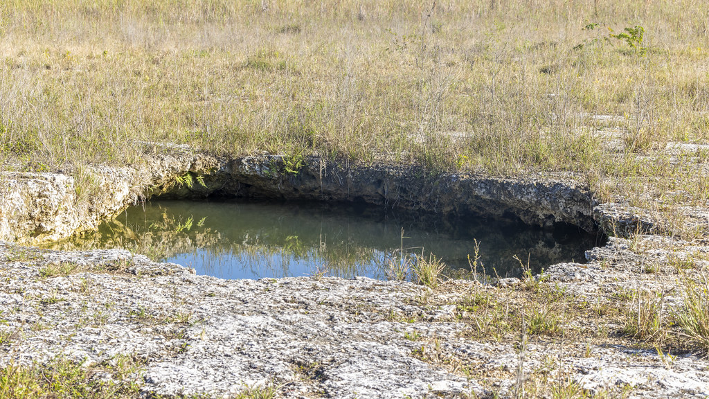 Photo: gary_leavens, CC BY-SA 2.0 (via Flickr)
Fr#9
~4 min drive
Fr#9 is a 1.54-mile out-and-back trail in Florida with 26 ft of elevation gain.
Photo: gary_leavens, CC BY-SA 2.0 (via Flickr)Fr#11
~4 min drive
Nearly 2-mile out-and-back Florida trail, perfect for a quick hike.

Map and trail data © OpenStreetMap contributors
