Snake Bight Hiking Trail
 Photo: NPSPhoto
- 1.8 mi
- round trip
- 13 ft
- climb
- 3 ft
- high point
- Out and back
- route
- Nov–Apr
- best months
Caution at last check
Weather is marginal · OpenWeather · checked 14 h ago
Is Snake Bight Hiking Trail open right now?
Closure in the area
There's a closure order in Everglades National Park. It doesn't name Snake Bight Hiking Trail, so check the source for the area it covers.
Current Alerts and Conditions
Park closure covering Everglades National Park · NPS · Everglades National Park
Roadwork may cause delays on US 41/Tamiami Trail
Park alert covering Everglades National Park · NPS · Everglades National Park
As of · Source: NPS · Everglades National Park. Agencies don't list every closure — check before you go.
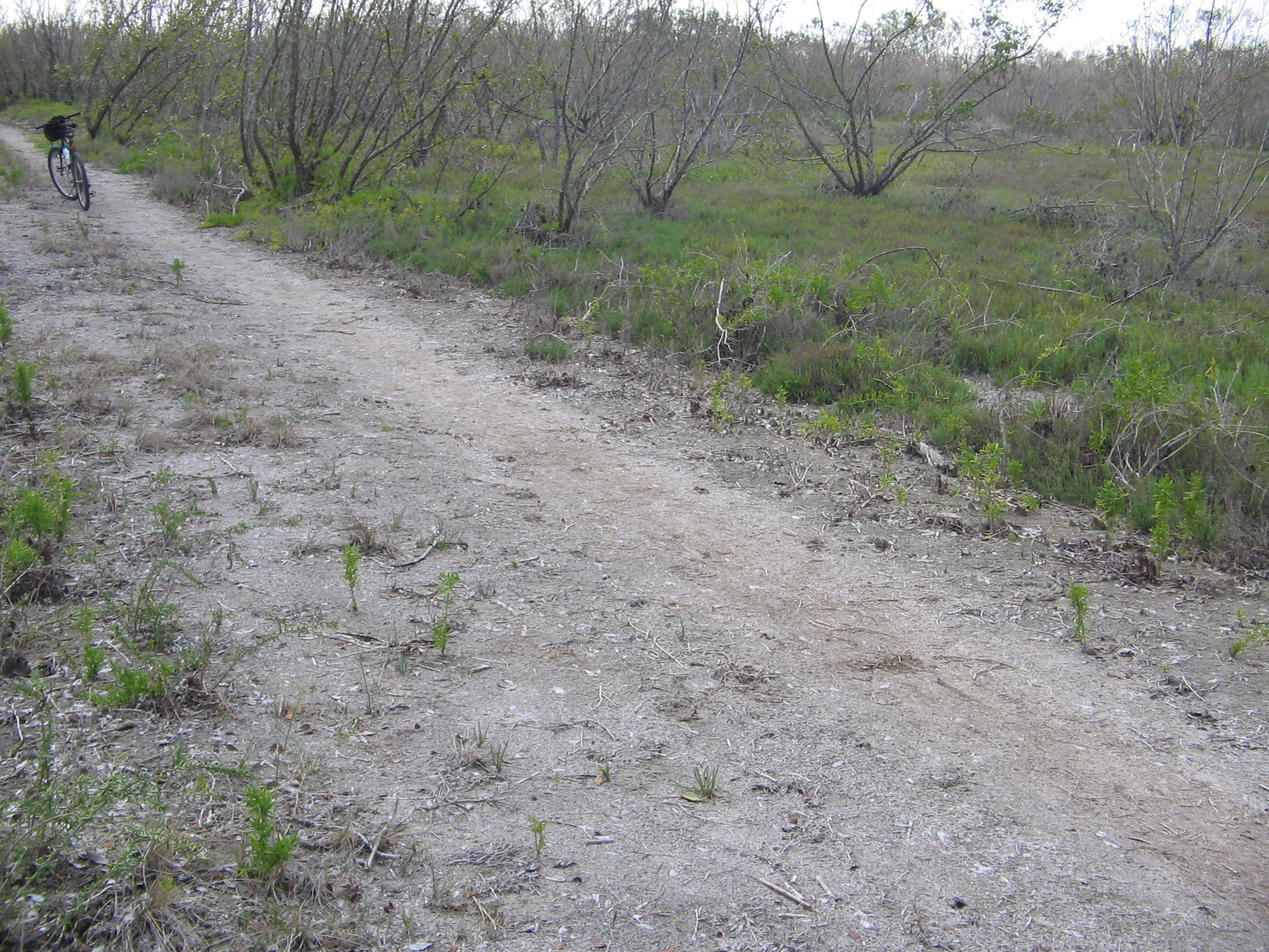
Snake Bight Hiking Trail is an easy, flat out-and-back walk in Everglades National Park in Florida, managed by the National Park Service. The trail is about 1.8 miles long, and the round trip covers roughly 3.6 miles with a total elevation gain of about 13 feet. The route is nearly level, with the high point at about 3 feet and the low point at about 0 feet. The most comfortable months for a visit are typically the cooler, drier part of the year. At the Flamingo weather station, about 4.8 miles away, typical averages run from highs near 76°F and lows near 58°F in January to highs near 81°F and lows near 62°F in March, with only about five wet days a month. Summer brings highs around 90°F and about 14 to 15 wet days a month. A fee is charged for the visit. The trailhead is the FLMR Snake Bight Tram Trail Trailhead, and the trip is estimated to take about an hour. The Snake Bight Trail lies just 0.1 mile away, and the Rowdy Bend Trail is about 1.4 miles off. Paddlers can reach the Coot Bay Pond Canoe Trail, about 2.3 miles away, and the Hells Bay Canoe Trail, about 3.4 miles away.
- Snake Bight TrailHiking0.1 mi
 Rowdy Bend TrailHikingPhoto: Guillaume Capron, CC BY-SA 2.0 (via Flickr)1.4 mi
- Coot Bay Pond Canoe TrailCanoeing2.3 mi
 Rowdy Bend Hiking TrailHikingPhoto: NPS Photo2.6 mi
- Hells Bay Canoe TrailCanoeing3.4 mi
- Mud Lake Canoe TrailCanoeing3.7 mi
- West Lake Canoe TrailCanoeing4 mi
 Christian Point TrailHikingPhoto: paulsmithrj, CC BY-SA 3.0 (via Wikimedia Commons)4.4 mi
Source: Roamze catalog (indexable pages within 10 miles, PostGIS distance)
- Rowdy Bend TrailHiking · ~2 min drivePhoto: Guillaume Capron, CC BY-SA 2.0 (via Flickr)
 Long Pine Key TrailHiking · ~34 min drivePhoto: SridharSaraf, CC BY-SA 2.0 (via Flickr)
- Rowdy Bend Hiking TrailHiking · ~5 min drive
 Fr#6Hiking · ~34 min drivePhoto: daveynin, CC BY 2.0 (via Flickr)
- Christian Point TrailHiking · ~8 min drivePhoto: paulsmithrj, CC BY-SA 3.0 (via Wikimedia Commons)
- Coastal Prairie TrailHiking · ~11 min drive
- Christian Point Hiking TrailHiking · ~8 min drive
- Z4 Need Name 4Hiking · ~54 min drive
- Bear Lake TrailHiking · ~8 min drive
- Z4 Need Name 5Hiking · ~54 min drive
Best time to visit Snake Bight Hiking Trail
Best months: November–April. Best months have typical highs of 55–85 °F, lows of 30 °F or warmer (32 °F where the station doesn't record snow), at most one snowy day and no more than 12 wet days.
Jan
76° / 58°
7 wet
Feb
78° / 60°
5 wet
Mar
81° / 62°
5 wet
Apr
84° / 66°
5 wet
May
87° / 70°
8 wet
Jun
89° / 75°
13 wet
Jul
90° / 76°
15 wet
Aug
90° / 76°
14 wet
Sep
89° / 75°
15 wet
Oct
87° / 71°
11 wet
Nov
82° / 65°
7 wet
Dec
78° / 61°
7 wet
Typical high / low (°F) and days with rain or snow, 1991–2020. Measured at Flamingo Rs, FL, 4.8 mi away at 3 ft. Source: NOAA NCEI U.S. Climate Normals 1991–2020.

