Fr#9
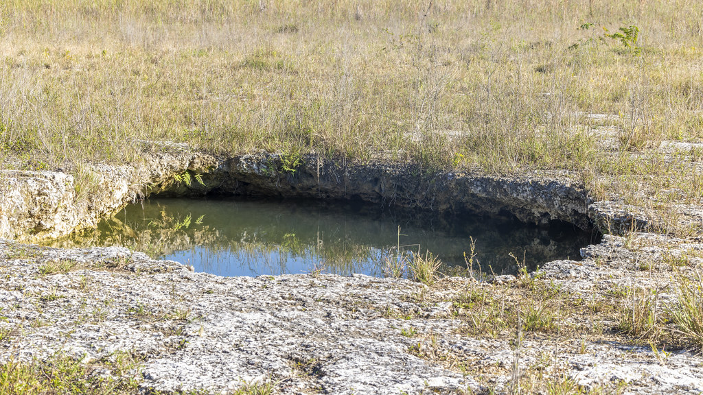 Photo: gary_leavens, CC BY-SA 2.0 (via Flickr)
- 1.5 mi
- round trip
- 19 ft
- climb
- 6 ft
- high point
- Out and back
- route
- Nov–Mar
- best months
Is Fr#9 open right now?
Closure in the area
There's a closure order in Everglades National Park. It doesn't name Fr#9, so check the source for the area it covers.
Current Alerts and Conditions
Park closure covering Everglades National Park · NPS · Everglades National Park
Roadwork may cause delays on US 41/Tamiami Trail
Park alert covering Everglades National Park · NPS · Everglades National Park
As of · Source: NPS · Everglades National Park. Agencies don't list every closure — check before you go.
Fr#9 is an easy, flat out-and-back hike in the Marjory Stoneman Douglas Wilderness, part of Everglades National Park in Florida. The route is about 3 miles long, with a total elevation gain of 19 feet, and it stays nearly level from start to finish. The National Park Service manages the land, and the trail lies within designated wilderness. The most comfortable months for a visit are typically the cooler, drier stretch from December through April. Typical averages from a nearby weather station show highs around 78 to 83°F and only six to seven wet days a month, while summer brings highs near 91 to 93°F and rain on 17 to 19 days a month. A fee is charged for the hike. Plan on about an hour for the round trip. Fr#11 is less than a mile away, and the Long Pine Key Trail, Three in One Hiking Trail and Gumbo Limbo Trail are all within about 2 miles.
Best time to go · Nov–Mar
Best time to visit Fr#9
Best months: November–March. Best months have typical highs of 55–85 °F, lows of 30 °F or warmer (32 °F where the station doesn't record snow), at most one snowy day and no more than 12 wet days.
Jan
78° / 55°
6 wet
Feb
81° / 56°
6 wet
Mar
83° / 58°
7 wet
Apr
86° / 62°
7 wet
May
89° / 67°
11 wet
Jun
91° / 72°
17 wet
Jul
92° / 74°
18 wet
Aug
93° / 74°
19 wet
Sep
91° / 74°
18 wet
Oct
88° / 71°
13 wet
Nov
83° / 64°
8 wet
Dec
80° / 59°
7 wet
Typical high / low (°F) and days with rain or snow, 1991–2020. Measured at Royal Palm Rs, FL, 2.7 mi away at 7 ft. Source: NOAA NCEI U.S. Climate Normals 1991–2020.
Keep exploring — more trails worth the drive
Photo: gary_leavens, CC BY-SA 2.0 (via Flickr)Fr#11
~1 min drive
Nearly 2-mile out-and-back Florida trail, perfect for a quick hike.
 Photo: SridharSaraf, CC BY-SA 2.0 (via Flickr)
Long Pine Key Trail
~2 min drive
6.64-mile point-to-point trail through Florida's pine flatwoods.
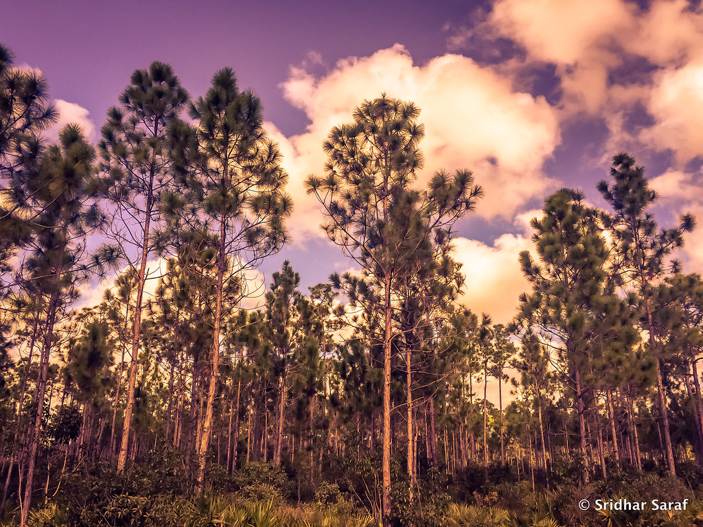 Photo: SridharSaraf, CC BY-SA 2.0 (via Flickr)
Boyscout Camp Trail
~2 min drive
Boyscout Camp Trail is a 1.16-mile out-and-back trail in Florida.
 Photo: daveynin, CC BY 2.0 (via Flickr)
Fr#6
~4 min drive
3.83-mile out-and-back trail in Florida with 83 ft of elevation gain.
 Photo: SridharSaraf, CC BY-SA 2.0 (via Flickr)
Three in One Hiking Trail
~3 min drive
Short point-to-point trail through Florida's natural landscape.
HIKE
Coastal Prairie Trail
~46 min drive
6.19-mile point-to-point trail in Florida with 155 ft elevation loss.
Photo: SridharSaraf, CC BY-SA 2.0 (via Flickr)Fr#8
~3 min drive
Fr#8 is a 0.64-mile out-and-back trail in Florida with 14 ft of elevation gain.
HIKE
Boundary Line
~46 min drive
7.84-mile out-and-back trail in Florida with 6 ft gain.
HIKE
Gumbo Limbo Trail
~3 min drive
The Gumbo-Limbo trail is a self-guided, paved trail meandering through a shaded, jungle-like hardwood hammock. In the hammock, hardwood trees such as oaks and gumbo limbos form a dense canopy overhead. Look for majestic royal palms, ferns, and air plants such as bromeliads. Yo…
 Photo: paulsmithrj, CC BY-SA 3.0 (via Wikimedia Commons)
Anhinga Trail
~3 min drive
Short out-and-back wetland boardwalk with excellent wildlife viewing.

Map and trail data © OpenStreetMap contributors
