North Loop Trail
- 6.1 mi
- one way
- 65 ft
- high point
- Point to point
- route
- Moderate
- difficulty
- Nov–Mar
- best months
North Loop Trail is a 6.1-mile moderate hike in Lake Kissimmee State Park in Florida, managed by State Park and Recreation. The nearest town is Fedhaven, about 7 miles away. The trail is a point-to-point route with no elevation gain, so it's a flat walk rather than a climb. The most comfortable months for a visit are typically the cooler part of the year. Typical averages from a nearby weather station at Mtn Lake show January highs around 75°F with lows near 50°F, while summer brings highs in the low 90s and rain on about 13 to 14 days a month from June through August. Horses are not allowed on this trail. Buster Island Loop is about half a mile away, and Gobbler Ridge Trail is about a mile off, so it's easy to pair this hike with another one.
Best time to go · Nov–Mar
Best time to visit North Loop Trail
Best months: November–March. Best months have typical highs of 55–85 °F, lows of 30 °F or warmer (32 °F where the station doesn't record snow), at most one snowy day and no more than 12 wet days.
Jan
75° / 50°
6 wet
Feb
78° / 53°
5 wet
Mar
82° / 56°
6 wet
Apr
86° / 61°
5 wet
May
90° / 66°
8 wet
Jun
92° / 71°
13 wet
Jul
93° / 72°
14 wet
Aug
93° / 73°
14 wet
Sep
91° / 72°
11 wet
Oct
86° / 66°
7 wet
Nov
80° / 58°
5 wet
Dec
76° / 53°
5 wet
Typical high / low (°F) and days with rain or snow, 1991–2020. Measured at Mtn Lake, FL, 14.7 mi away at 125 ft. Source: NOAA NCEI U.S. Climate Normals 1991–2020.
Keep exploring — more trails worth the drive
 Photo: mededeler, CC BY 2.0 (via Flickr)
Pioneer Village Trail
~45 min drive
0.47-mile out-and-back trail in Florida with 17 ft of elevation gain.
 Photo: ebyabe, CC BY-SA 2.0 (via Flickr)
Paynes Creek Historic State Park Trail
~1h 2m drive
5.66-mile out-and-back trail in Paynes Creek Historic State Park, Florida.
HIKE
Florida National Scenic Trail - Central Region
~30 min drive
511-mile point-to-point trail through central Florida's diverse natural ecosystems.
HIKE
Deseret Ranch Trail
~49 min drive
19.11-mile out-and-back trail in Florida with 126 ft gain.
 Photo: k7hpn, CC BY 2.0 (via Flickr)
Longhorn Steakhouse Loop
~56 min drive
0.48-mile out-and-back trail in Florida with 13 ft of elevation gain.
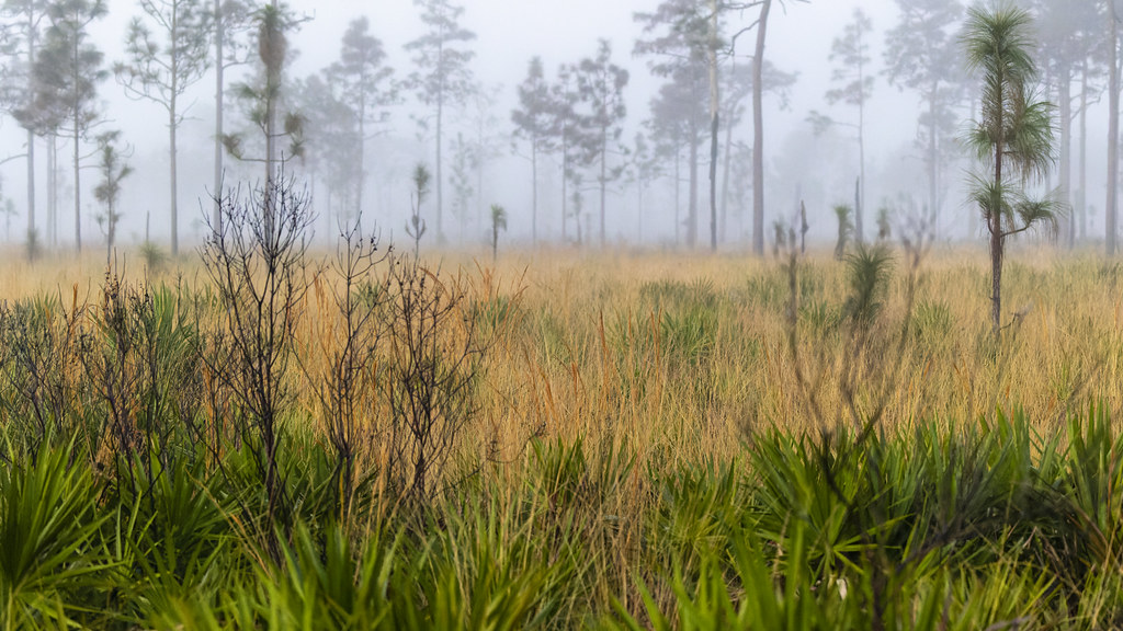 Photo: gary_leavens, CC BY-SA 2.0 (via Flickr)
Red Blaze Trail
~1h 9m drive
6.07-mile loop in Florida with 100 ft elevation gain.
 Photo: DaltonGarrison, CC BY-SA 2.0 (via Flickr)
East Residence Road
~59 min drive
East Residence Road is a 1.36-mile out-and-back trail in Florida.
HIKE
Buster Island Loop
Next door
6.37-mile point-to-point Florida trail through wetlands and island terrain.
 Photo: FartyBoi, CC BY-SA 4.0 (via Wikimedia Commons)
Tosohatchee Wildlife Management Area Trail
~1h 15m drive
25.78-mile point-to-point trail in Florida with 512 ft elevation gain
HIKE
Three Lakes Wildlife Management Area Trail
~24 min drive
6.93-mile out-and-back trail in Florida's Three Lakes Wildlife Management Area with 104 ft elevation gain.

Map and trail data © OpenStreetMap contributors
