Buster Island Loop
- 6.4 mi
- one way
- 62 ft
- high point
- Point to point
- route
- Moderate
- difficulty
- Nov–Mar
- best months
Caution at last check
Weather is marginal · OpenWeather · checked 19 h ago
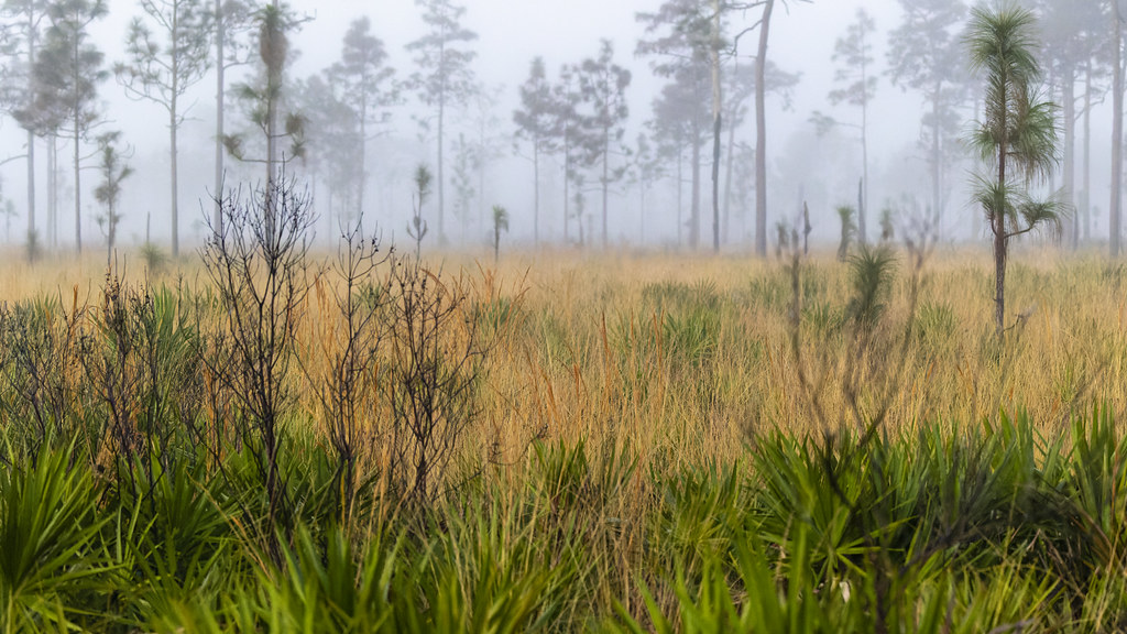
Buster Island Loop is a 6.4-mile moderate hike through Lake Kissimmee State Park in central Florida. It's a point-to-point route with no elevation gain, so it stays essentially flat all the way. The highest point on the trail reaches about 62 feet, and the lowest sits at about 53 feet, with the steepest stretch at around 4% grade near the 5.7-mile mark. The most comfortable time to go is winter and early spring, when typical averages from a nearby weather station show highs in the mid-70s with lows around 50 to 53 degrees in January and February. Summer brings highs near 93 degrees and rain on roughly 13 to 14 days a month from June through August. Within a short distance are the North Loop Trail, about 0.6 miles away, and the Gobbler Ridge Trail, about 1.3 miles away, both of which make good additions to a day spent exploring the park.
Source: Roamze catalog (indexable pages within 10 miles, PostGIS distance)
 Pioneer Village TrailHiking · ~46 min drivePhoto: mededeler, CC BY 2.0 (via Flickr)
 Paynes Creek Historic State Park TrailHiking · ~1h 2m drivePhoto: ebyabe, CC BY-SA 2.0 (via Flickr)
- Florida National Scenic Trail - Central RegionHiking · ~29 min drive
- Deseret Ranch TrailHiking · ~50 min drive
 Longhorn Steakhouse LoopHiking · ~57 min drivePhoto: k7hpn, CC BY 2.0 (via Flickr)
 Red Blaze TrailHiking · ~1h 10m drivePhoto: gary_leavens, CC BY-SA 2.0 (via Flickr)
 East Residence RoadHiking · ~58 min drivePhoto: DaltonGarrison, CC BY-SA 2.0 (via Flickr)
- Three Lakes Wildlife Management Area TrailHiking · ~24 min drive
 Tosohatchee Wildlife Management Area TrailHiking · ~1h 16m drivePhoto: FartyBoi, CC BY-SA 4.0 (via Wikimedia Commons)
- Yellow Blaze TrailHiking · ~1h 9m drive
Best time to visit Buster Island Loop
Best months: November–March. Best months have typical highs of 55–85 °F, lows of 30 °F or warmer (32 °F where the station doesn't record snow), at most one snowy day and no more than 12 wet days.
Jan
75° / 50°
6 wet
Feb
78° / 53°
5 wet
Mar
82° / 56°
6 wet
Apr
86° / 61°
5 wet
May
90° / 66°
8 wet
Jun
92° / 71°
13 wet
Jul
93° / 72°
14 wet
Aug
93° / 73°
14 wet
Sep
91° / 72°
11 wet
Oct
86° / 66°
7 wet
Nov
80° / 58°
5 wet
Dec
76° / 53°
5 wet
Typical high / low (°F) and days with rain or snow, 1991–2020. Measured at Mtn Lake, FL, 14.6 mi away at 125 ft. Source: NOAA NCEI U.S. Climate Normals 1991–2020.

Map and trail data © OpenStreetMap contributors
