YMCA Camp Mountain Laurel
Campground
Campground · 6.4 mi from the trail
Yellow Trail is a short, easy hike in Connecticut, about 0.67 miles long and rising roughly 132 feet from its starting point. It is a point-to-point route, and the climb is front-loaded, with the steepest stretch at about 0.54 miles in, where the grade reaches 24%. The trail's high point is 656 feet, and the route ends at a lower elevation of 477 feet. The nearest town is Mixville, about 1.7 miles away. Late spring and early fall are the most comfortable times to go. Typical averages from a nearby weather station in Meriden run to highs around 70°F in May and 75°F in September, while July highs average about 84°F. That station sits well below the trail, so temperatures on the higher ground run cooler. The trail is part of a network of short routes. Black Trail and Red Trail both start about 0.1 mile away, and Orange Trail is about half a mile off. For a change of pace, CT Bouldering is about 5 miles away.
YMCA Camp Mountain Laurel
Campground
Blackie's
Restaurant
 If it rainsMConradWard, CC0 · Wikimedia Commons
Meriden Historical Society Museum & History Center
Museum
Places © OpenStreetMap contributors · Photos: MConradWard, CC0 (commons)
More in MiddletownBest months: April and June–October. Best months have typical highs of 55–85 °F, lows of 30 °F or warmer (32 °F where the station doesn't record snow), at most one snowy day and no more than 12 wet days.
Jan
37° / 19°
10 wet
Feb
39° / 20°
9 wet
Mar
47° / 28°
10 wet
Apr
60° / 38°
11 wet
May
70° / 48°
13 wet
Jun
79° / 57°
12 wet
Jul
84° / 63°
12 wet
Aug
82° / 61°
12 wet
Sep
75° / 54°
11 wet
Oct
64° / 42°
12 wet
Nov
52° / 32°
10 wet
Dec
42° / 24°
11 wet
Typical high / low (°F) and days with rain or snow, 1991–2020. Measured at Meriden Markham Muni Ap, CT, 6.7 mi away at 103 ft. The station sits about 600 ft lower than this place, so expect it a little cooler here. This station doesn't record snowfall. Source: NOAA NCEI U.S. Climate Normals 1991–2020.
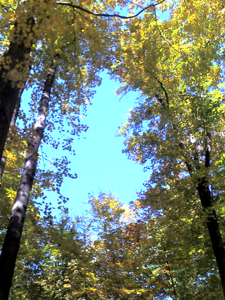 Photo: Aldon, CC BY-SA 2.0 (via Flickr)
Quinnipiac Connector Trail
~9 min drive
1.58-mile point-to-point trail in Connecticut with 516 ft gain.
Photo: Aldon, CC BY-SA 2.0 (via Flickr)Quinnipiac Trail
~9 min drive
A 19.6-mile point-to-point trail following Connecticut's Quinnipiac River valley.
 Photo: H. Morrow Long, CC BY-SA 3.0 (via Wikimedia Commons)
Hancock Brook Trail
~11 min drive
2.58-mile loop trail in Connecticut with 1,391 ft elevation gain.
 Photo: Magicpiano, CC BY-SA 4.0 (via Wikimedia Commons)
Brooke Yellow Trail
~10 min drive
A short point-to-point Connecticut woodland walk.
 Photo: Morrowlong, CC BY-SA 3.0 (via Wikimedia Commons)
Naugatuck Trail
~12 min drive
5.25-mile point-to-point trail in Connecticut with 840 ft gain and 1,295 ft loss.
 Photo: Magicpiano, CC BY-SA 4.0 (via Wikimedia Commons)
Brooke Blue Trail
~10 min drive
0.96-mile loop trail in Connecticut with 147 ft of elevation gain.
HIKE
Tunxis Trail
~10 min drive
A 45-mile point-to-point Connecticut trail through forests and highlands.
Photo: Magicpiano, CC BY-SA 4.0 (via Wikimedia Commons)Sanford Alternate Trail
~11 min drive
1.62-mile out-and-back trail in Connecticut with 549 ft of elevation gain.
Photo: Magicpiano, CC BY-SA 4.0 (via Wikimedia Commons)Red Trail
~11 min drive
A 1.40-mile point-to-point trail through Connecticut woods.
Photo: Magicpiano, CC BY-SA 4.0 (via Wikimedia Commons)Yellow Trail
~11 min drive
Short point-to-point trail under 1 mile in Connecticut.
Map and trail data © OpenStreetMap contributors

