YMCA Camp Mountain Laurel
Campground
Campground · 2.7 mi from the trail
 Photo: Magicpiano, CC BY-SA 4.0 (via Wikimedia Commons)
Red Trail is a short, easy hike in Connecticut, about 1.6 miles long and rising roughly 113 feet from a starting point near 198 feet to a high of 258 feet. The trail is a point-to-point route, and the steepest stretch comes at about half a mile in, where the grade reaches about 9 percent. The nearest town is Fernwood Estates, about 0.4 miles away. Late spring and early fall are the most comfortable times to go. Typical averages from a nearby weather station at Mt Carmel show May highs around 71°F and September highs around 76°F, with July the warmest month at about 85°F. The trail sits in a network of short routes. Yellow Trail is about 0.1 mile away and Blue Trail about 0.2 mile. A little farther out, Brooke Blue Trail and Brooke Yellow Trail are each about 0.9 mile away.
YMCA Camp Mountain Laurel
Campground
 If it rainsMConradWard, CC0 · Wikimedia Commons
Meriden Historical Society Museum & History Center
Museum
Places © OpenStreetMap contributors, Places © Overture Maps Foundation · Photos: MConradWard, CC0 (commons)
More in Middletown Yellow TrailHikingPhoto: Magicpiano, CC BY-SA 4.0 (via Wikimedia Commons)0.1 miBlue TrailHikingPhoto: Magicpiano, CC BY-SA 4.0 (via Wikimedia Commons)0.2 miBrooke Blue TrailHikingPhoto: Magicpiano, CC BY-SA 4.0 (via Wikimedia Commons)0.9 miBrooke Yellow TrailHikingPhoto: Magicpiano, CC BY-SA 4.0 (via Wikimedia Commons)0.9 mi
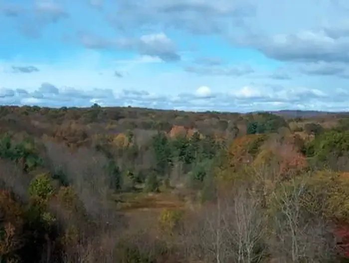 Hop Brook Lake Recreation AreaCampingPhoto: Recreation.gov (RIDB) / public domain9.6 mi
Source: Roamze catalog (indexable pages within 10 miles, PostGIS distance)
Blue TrailHiking · Next doorPhoto: Magicpiano, CC BY-SA 4.0 (via Wikimedia Commons)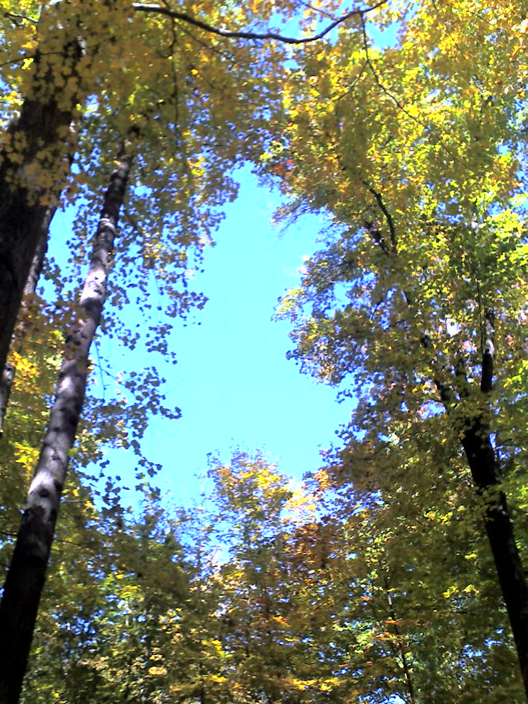 Quinnipiac TrailHiking · ~5 min drivePhoto: Aldon, CC BY-SA 2.0 (via Flickr)Brooke Blue TrailHiking · ~1 min drivePhoto: Magicpiano, CC BY-SA 4.0 (via Wikimedia Commons)Brooke Yellow TrailHiking · ~1 min drivePhoto: Magicpiano, CC BY-SA 4.0 (via Wikimedia Commons)
 Dickerman Carriage RoadHiking · ~4 min drivePhoto: ethan.long, CC BY-SA 2.0 (via Flickr)
 Nature TrailHiking · ~4 min drivePhoto: ethan.long, CC BY-SA 2.0 (via Flickr)Tower TrailHiking · ~4 min drivePhoto: ethan.long, CC BY-SA 2.0 (via Flickr)Quinnipiac Connector TrailHiking · ~5 min drivePhoto: Aldon, CC BY-SA 2.0 (via Flickr)Sanford Alternate TrailHiking · ~5 min drivePhoto: Magicpiano, CC BY-SA 4.0 (via Wikimedia Commons)
 Red TrailHiking · ~7 min drivePhoto: ethan.long, CC BY-SA 2.0 (via Flickr)
Also worth it near here
 Mount CarmelSummit · ~3 min drivePhoto: Ken Gallager at English Wikipedia, Public domain (via Wikimedia Commons)
 Top of the White TrailRock climbing · ~4 min drivePhoto: olekinderhook, CC BY 3.0 (via Wikimedia Commons)
Best months: April–October. Best months have typical highs of 55–85 °F, lows of 30 °F or warmer (32 °F where the station doesn't record snow), at most one snowy day and no more than 12 wet days.
Jan
38° / 20°
10 wet
Feb
41° / 22°
9 wet
Mar
48° / 28°
11 wet
Apr
60° / 38°
12 wet
May
71° / 48°
11 wet
Jun
79° / 58°
10 wet
Jul
85° / 64°
10 wet
Aug
84° / 62°
9 wet
Sep
76° / 55°
9 wet
Oct
64° / 43°
9 wet
Nov
52° / 34°
9 wet
Dec
42° / 26°
11 wet
Typical high / low (°F) and days with rain or snow, 1991–2020. Measured at Mt Carmel, CT, 3.5 mi away at 180 ft. This station doesn't record snowfall. Source: NOAA NCEI U.S. Climate Normals 1991–2020.
Map and trail data © OpenStreetMap contributors
