Camp CONNRI
Campground
Campground · 1.9 mi from the trail
The UConn Loop Trail is a short, easy loop in Connecticut, about 1.8 miles from the town of East Willington. The route is 0.57 miles long, with a total climb of 47 feet and a total descent of 82 feet, so it's a low-impact walk that can be done in a single outing. The trail is a loop, and the climb is back-loaded, with the steepest stretch at about 0.16 miles in. The highest point is 460 feet, and the lowest is 393 feet. The grade reaches about 7% at the steepest point. Summer and early fall are the most comfortable times to go. Typical averages from the nearby Storrs weather station show July highs around 80°F and September highs around 73°F, with lows in the 50s and 60s. The Talmadge Spur Trail starts just 0.2 miles away, and the Nipmuck Trail and North Woods Trail are both within about 2.6 miles. For an overnight stay, Charlie Brown Campground is about 7.8 miles off.
Camp CONNRI
Campground
 If it rainsTopshelvr, CC BY-SA 4.0 · Wikimedia Commons
Places © OpenStreetMap contributors · Photos: Topshelvr, CC BY-SA 4.0 (commons)
More in DanielsonBest months: April and June–October. Best months have typical highs of 55–85 °F, lows of 30 °F or warmer (32 °F where the station doesn't record snow), at most one snowy day and no more than 12 wet days.
Jan
35° / 19°
10 wet
Feb
37° / 20°
9 wet
Mar
45° / 28°
10 wet
Apr
57° / 38°
11 wet
May
68° / 48°
13 wet
Jun
76° / 57°
11 wet
Jul
80° / 63°
10 wet
Aug
79° / 61°
9 wet
Sep
73° / 54°
9 wet
Oct
61° / 43°
10 wet
Nov
50° / 34°
9 wet
Dec
40° / 25°
10 wet
Typical high / low (°F) and days with rain or snow, 1991–2020. Measured at Storrs, CT, 3.7 mi away at 665 ft. This station doesn't record snowfall. Source: NOAA NCEI U.S. Climate Normals 1991–2020.
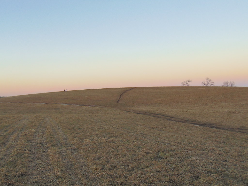 Photo: jjbers, CC BY 2.0 (via Flickr)
Nipmuck Trail
~2 min drive
A 28.52-mile point-to-point Connecticut trail through forested terrain.
 Photo: wolfsavard, CC BY 2.0 (via Flickr)
Nipmuck Trail - West Branch
~7 min drive
5.19-mile point-to-point trail in Connecticut with 693 ft gain.
 Photo: jjbers, CC BY 2.0 (via Flickr)
Lynch's Landing Trails
~8 min drive
Short waterfront point-to-point trail in Connecticut with scenic river views.
HIKE
Nipmuck Trail - East Branch
~7 min drive
A 5.56-mile point-to-point forest hike through Connecticut's Nipmuck region.
Photo: wolfsavard, CC BY 2.0 (via Flickr)Tamarack Trail
~9 min drive
0.51-mile loop trail in Connecticut with 35 ft gain.
Photo: wolfsavard, CC BY 2.0 (via Flickr)Road Runner Trail
~9 min drive
0.48-mile point-to-point trail in Connecticut with 142 ft of elevation gain
Photo: jjbers, CC BY 2.0 (via Flickr)Williams Preserve Loop
~9 min drive
Williams Preserve Loop is a 1.04-mile point-to-point trail in Connecticut with 51 feet of elevation gain.
HIKE
Talmadge Spur Trail
Next door
A short point-to-point connector trail through Connecticut woodland.
HIKE
North Woods Trail
~4 min drive
0.89-mile loop in Connecticut's North Woods with 100 ft of elevation gain.
HIKE
Quarry Swamp Trail
~5 min drive
Short point-to-point wetland trail through Connecticut swamp terrain.
Map and trail data © OpenStreetMap contributors

