Northfield Brook Lake Group Shelters
Campground
The next 6 weekends are full on Recreation.gov
Clear today
Weather is good · OpenWeather · checked 9 h ago
The Tunxis Blue-White Trail is a 9.7-mile point-to-point hike in Connecticut, starting at about 723 feet and rising to a high point of 1,105 feet. The route gains 855 feet in elevation and loses 961 feet, with the steepest stretch at about 5.6 miles in, where the grade reaches 32%. The nearest town is East Plymouth, about 1.2 miles away. Late spring and early fall are the most comfortable times to go. Typical averages from a nearby weather station in Burlington show May highs around 70°F and September highs around 75°F, with July the warmest month at about 84°F. That station sits roughly 600 feet lower than the trail's high point, so temperatures on the higher ground run cooler. The hike takes about 3.5 hours. The Blue-Yellow Trail lies about 0.6 miles away, and the Mile of Ledges and Petro Cliffs climbing areas are each within a mile. Paddlers can reach the Naugatuck River about 3.2 miles off.
Northfield Brook Lake Group Shelters
Campground
 If it rainsJohn Phelan, CC BY 4.0 · Wikimedia Commons
Industry museum in Terryville, Connecticut
Places © OpenStreetMap contributors, Places © Overture Maps Foundation · Photos: John Phelan, CC BY 4.0 (commons)
More in Middletown Mile of LedgesRock climbingPhoto: Morrowlong, CC BY 3.0 (via Wikimedia Commons)0.7 miPetro CliffsRock climbingPhoto: Morrowlong, CC BY 3.0 (via Wikimedia Commons)0.8 mi
 Yellow Diamond TrailHikingPhoto: TrevorBrightman, CC BY 3.0 (via Wikimedia Commons)2.4 miBlue-Orange TrailHikingPhoto: TrevorBrightman, CC BY 3.0 (via Wikimedia Commons)2.5 mi
 Naugatuck RiverCanoeingPhoto: Morrow Long, CC BY-SA 3.0 (via Wikimedia Commons)3.2 mi
 Quinnipiac RiverCanoeingPhoto: Arthur Dutra IV, CC BY-SA 2.5 (via Wikimedia Commons)9.4 mi
Source: Roamze catalog (indexable pages within 10 miles, PostGIS distance)
Yellow Diamond TrailHiking · ~4 min drivePhoto: TrevorBrightman, CC BY 3.0 (via Wikimedia Commons) Mattatuck TrailHiking · ~11 min drivePhoto: H. Morrow Long, CC BY-SA 3.0 (via Wikimedia Commons)Blue-Orange TrailHiking · ~4 min drivePhoto: TrevorBrightman, CC BY 3.0 (via Wikimedia Commons)
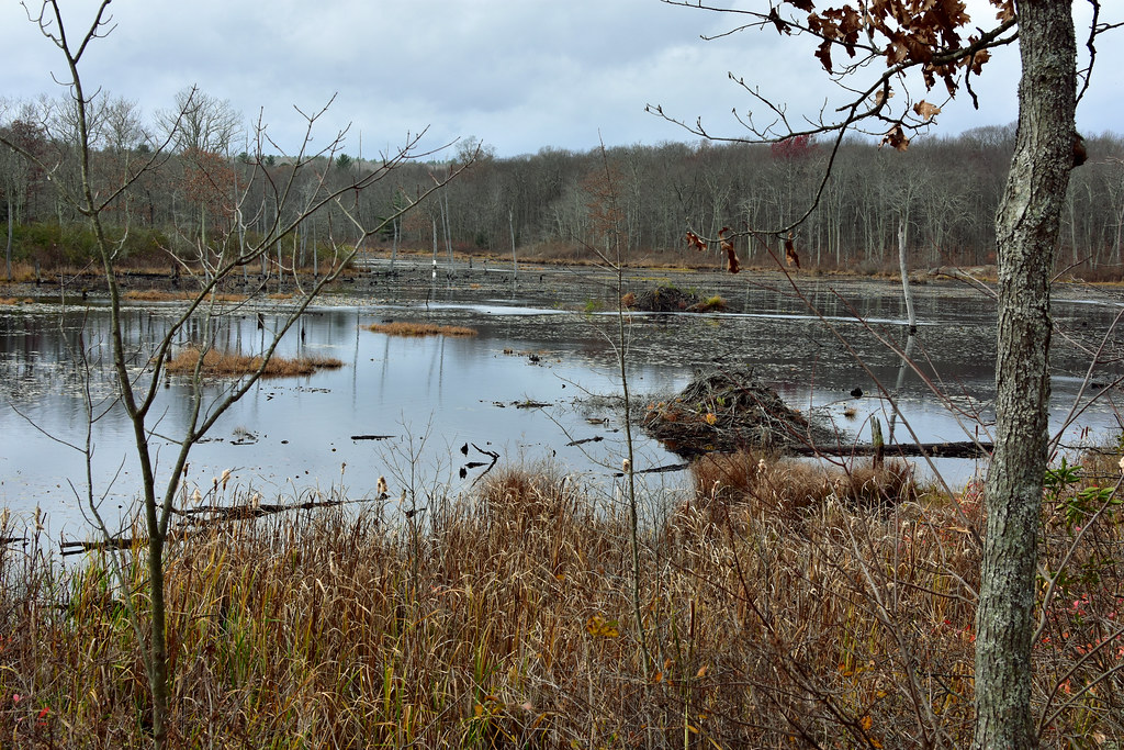 Crosscut TrailHiking · ~4 min drivePhoto: pedrik, CC BY 2.0 (via Flickr)
 Tree Identification TrailHiking · ~5 min drivePhoto: pedrik, CC BY 2.0 (via Flickr)
 Nature CenterHiking · ~5 min drivePhoto: Morrowlong, CC BY-SA 4.0 (via Wikimedia Commons)White-Yellow TrailHiking · ~5 min drivePhoto: TrevorBrightman, CC BY 3.0 (via Wikimedia Commons)Purple TrailHiking · ~6 min drivePhoto: Morrowlong, CC BY-SA 4.0 (via Wikimedia Commons)White TrailHiking · ~6 min drivePhoto: Morrowlong, CC BY-SA 4.0 (via Wikimedia Commons)
Also worth it near here
Best months: April–October. Best months have typical highs of 55–85 °F, lows of 30 °F or warmer (32 °F where the station doesn't record snow), at most one snowy day and no more than 12 wet days.
Jan
36° / 17°
10 wet · 4 snow
Feb
39° / 18°
9 wet · 3 snow
Mar
47° / 26°
10 wet · 2 snow
Apr
59° / 36°
11 wet
May
70° / 47°
12 wet
Jun
78° / 57°
11 wet
Jul
84° / 62°
11 wet
Aug
82° / 60°
10 wet
Sep
75° / 53°
9 wet
Oct
63° / 41°
10 wet
Nov
52° / 32°
9 wet
Dec
41° / 24°
11 wet · 2 snow
Typical high / low (°F) and days with rain or snow, 1991–2020. Measured at Burlington, CT, 6.9 mi away at 505 ft. The station sits about 600 ft lower than this place, so expect it a little cooler here. Source: NOAA NCEI U.S. Climate Normals 1991–2020.
Map and trail data © OpenStreetMap contributors
