Cuno Camp
Campground
Campground · 1.7 mi from the trail
 Photo: christinejwarner, CC BY 2.0 (via Flickr)
Red Trail is a short, easy hike in Guiffrida Park in Connecticut, about 0.76 miles long with a total elevation gain of 258 feet. It is a point-to-point route, starting at about 420 feet and rising to a high point of 642 feet before descending slightly to a low of 353 feet. The steepest stretch comes at about 0.3 miles in, with a grade of 18 percent. Late spring and early fall are the most comfortable times to go. Typical averages from a nearby weather station in Meriden run to highs around 70°F in May and 75°F in September, while July highs reach about 84°F. That station sits well below the trail, so temperatures on the higher ground run cooler. The hike takes about half an hour. The Yellow Trail lies about half a mile away, and the White Trail is about 0.8 miles off. Climbers can head to Chauncey Peak, about 0.6 miles away, and the Berlin Land Trust Yellow Trail is roughly 1.4 miles away.
Cuno Camp
Campground
San Souci Restaurant & Lounge
Restaurant
 If it rainsJoe Mabel, CC BY-SA 3.0 · Wikimedia Commons
Davison Art Center
Gallery
University art museum in Middletown, Connecticut
Places © OpenStreetMap contributors · Photos: Joe Mabel, CC BY-SA 3.0 (commons)
More in MiddletownYellow TrailHikingPhoto: christinejwarner, CC BY 2.0 (via Flickr)0.5 mi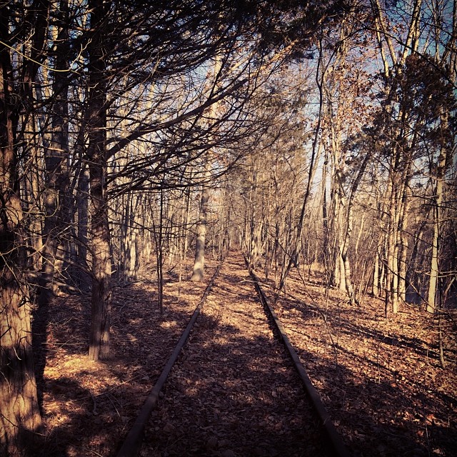 White TrailHikingPhoto: supa_pedro, CC BY 2.0 (via Flickr)0.8 mi
 Quinnipiac RiverCanoeingPhoto: Arthur Dutra IV, CC BY-SA 2.5 (via Wikimedia Commons)7.1 mi
 Coginchaug RiverCanoeingPhoto: Ceolaf, CC BY-SA 3.0 (via Wikimedia Commons)7.8 mi
Source: Roamze catalog (indexable pages within 10 miles, PostGIS distance)
Yellow TrailHiking · Next doorPhoto: christinejwarner, CC BY 2.0 (via Flickr)White TrailHiking · ~1 min drivePhoto: supa_pedro, CC BY 2.0 (via Flickr) Blue-Red TrailHiking · ~3 min drivePhoto: daveclausen, CC BY 2.0 (via Flickr)
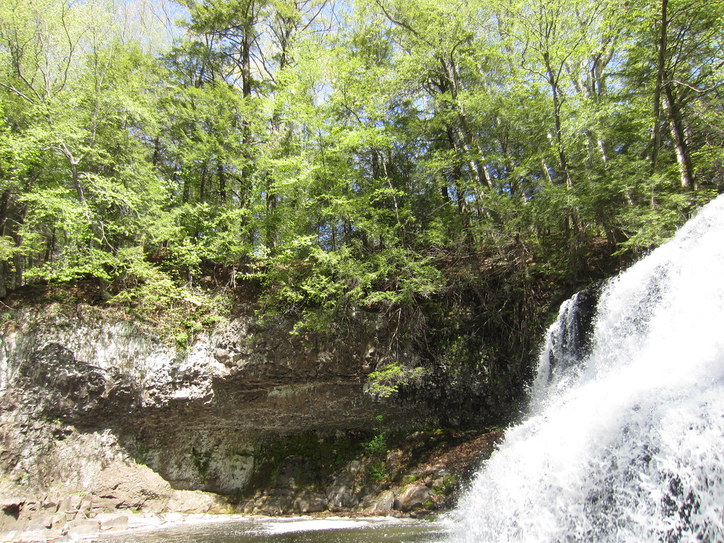 Laurel Grove Brook TrailHiking · ~7 min drivePhoto: clembore, CC BY-SA 2.0 (via Flickr)Bridge TrailHiking · ~8 min drivePhoto: clembore, CC BY-SA 2.0 (via Flickr)Little Falls TrailHiking · ~8 min drivePhoto: clembore, CC BY-SA 2.0 (via Flickr)
 Main TrailHiking · ~8 min drivePhoto: clembore, CC BY-SA 2.0 (via Flickr)Cedar Loop TrailHiking · ~8 min drivePhoto: clembore, CC BY-SA 2.0 (via Flickr)White Birch TrailHiking · ~8 min drivePhoto: clembore, CC BY-SA 2.0 (via Flickr)
 Reservoir Loop TrailHiking · ~14 min drivePhoto: TowersGolde, CC BY-SA 4.0 (via Wikimedia Commons)
Best months: April and June–October. Best months have typical highs of 55–85 °F, lows of 30 °F or warmer (32 °F where the station doesn't record snow), at most one snowy day and no more than 12 wet days.
Jan
37° / 19°
10 wet
Feb
39° / 20°
9 wet
Mar
47° / 28°
10 wet
Apr
60° / 38°
11 wet
May
70° / 48°
13 wet
Jun
79° / 57°
12 wet
Jul
84° / 63°
12 wet
Aug
82° / 61°
12 wet
Sep
75° / 54°
11 wet
Oct
64° / 42°
12 wet
Nov
52° / 32°
10 wet
Dec
42° / 24°
11 wet
Typical high / low (°F) and days with rain or snow, 1991–2020. Measured at Meriden Markham Muni Ap, CT, 5.4 mi away at 103 ft. The station sits about 500 ft lower than this place, so expect it a little cooler here. This station doesn't record snowfall. Source: NOAA NCEI U.S. Climate Normals 1991–2020.
Map and trail data © OpenStreetMap contributors

