Berlin Land Trust Yellow Trail
- 0.3 mi
- one way
- 108 ft
- climb
- 598 ft
- high point
- Point to point
- route
The Berlin Land Trust Yellow Trail is a short, easy hike in Connecticut, about 1.7 miles from the town of Highland. The route is a point-to-point trail of roughly 0.34 miles, with a steady climb from a starting elevation of about 571 feet to a high point of 598 feet. The trail has a total gain of 108 feet and a total loss of 195 feet, so it works well as a short outing in either direction. Late spring and early fall are the most comfortable times to go. Typical averages from a nearby weather station in Meriden run to highs around 70°F in May and 75°F in September, while July highs reach about 84°F. That station sits roughly 500 feet lower than the trail, so temperatures on the higher ground run a little cooler. The hike takes about half an hour. The Yellow Trail, Red Trail and Orange Trail all lie within about 2 miles, and the Chauncey Peak climbing area is about 2 miles away.
Keep exploring — more trails worth the drive
 Photo: christinejwarner, CC BY 2.0 (via Flickr)
Yellow Trail
~2 min drive
Yellow Trail is a 0.88-mile point-to-point trail in Connecticut with 275 ft of elevation gain.
Photo: christinejwarner, CC BY 2.0 (via Flickr)Red Trail
~2 min drive
A short point-to-point trail under a mile in Connecticut.
 Photo: supa_pedro, CC BY 2.0 (via Flickr)
White Trail
~4 min drive
Easy 1.2-mile point-to-point trail in Connecticut.
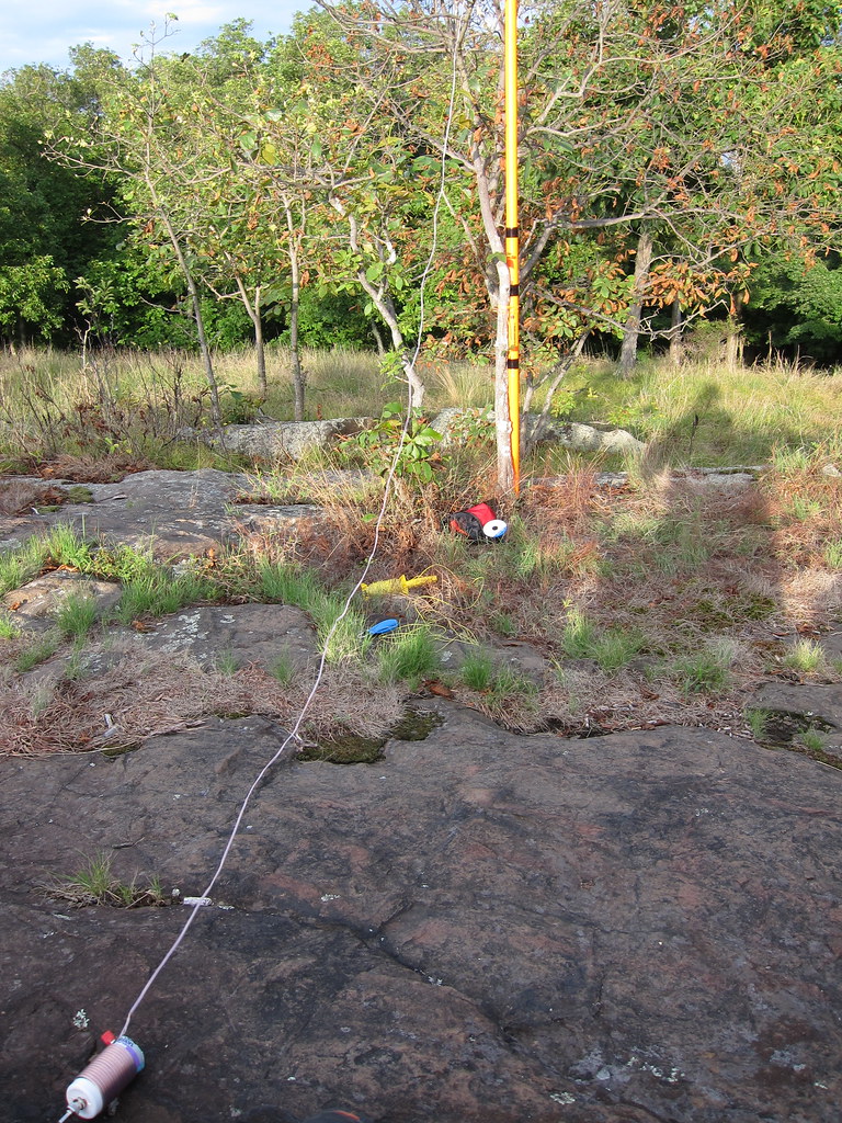 Photo: daveclausen, CC BY 2.0 (via Flickr)
Blue-Red Trail
~4 min drive
0.83-mile point-to-point trail in Connecticut with 186 ft of elevation gain.
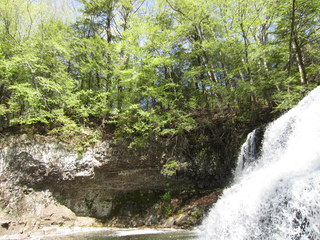 Photo: clembore, CC BY-SA 2.0 (via Flickr)
Bridge Trail
~9 min drive
0.37-mile point-to-point trail in Connecticut with 113 ft gain
Photo: clembore, CC BY-SA 2.0 (via Flickr)Laurel Grove Brook Trail
~9 min drive
Short point-to-point brook walk through Connecticut forest.
Photo: clembore, CC BY-SA 2.0 (via Flickr)Little Falls Trail
~9 min drive
Short point-to-point trail leading to a scenic Connecticut waterfall.
 Photo: clembore, CC BY-SA 2.0 (via Flickr)
Main Trail
~9 min drive
Main Trail is a 1.63-mile point-to-point trail in Connecticut.
Photo: clembore, CC BY-SA 2.0 (via Flickr)White Birch Trail
~9 min drive
0.50-mile point-to-point trail in Connecticut with 28 ft gain and 95 ft loss.
Photo: clembore, CC BY-SA 2.0 (via Flickr)Cedar Loop Trail
~9 min drive
Easy 1-mile point-to-point woodland walk through Connecticut cedar forest.

Map and trail data © OpenStreetMap contributors
