Cuno Camp
Campground
Campground · 1.8 mi from the trail
Orange Trail is a short, easy hike in Connecticut, about 1.3 miles from the town of Turkey Hill. The route is a point-to-point walk of roughly 0.38 miles, with a total elevation gain of 44 feet and a high point of 207 feet. The climb is flat overall, with the steepest stretch at about 0.24 miles in, where the grade reaches 5 percent. Late spring and early fall are the most comfortable times to go. Typical averages from a nearby weather station in Meriden run to highs around 70°F in May and 75°F in September, while July highs average about 84°F. The trail sits in a network of colored routes, with the Blue Trail and Yellow Trail each about 0.4 miles away and the Red Trail about 0.5 miles off. Climbers can find Winter Wall about 2 miles away.
Cuno Camp
Campground
Svea Club
Bar
 If it rainsJoe Mabel, CC BY-SA 3.0 · Wikimedia Commons
Davison Art Center
Gallery
University art museum in Middletown, Connecticut
Places © OpenStreetMap contributors · Photos: Joe Mabel, CC BY-SA 3.0 (commons)
More in MiddletownBest months: April and June–October. Best months have typical highs of 55–85 °F, lows of 30 °F or warmer (32 °F where the station doesn't record snow), at most one snowy day and no more than 12 wet days.
Jan
37° / 19°
10 wet
Feb
39° / 20°
9 wet
Mar
47° / 28°
10 wet
Apr
60° / 38°
11 wet
May
70° / 48°
13 wet
Jun
79° / 57°
12 wet
Jul
84° / 63°
12 wet
Aug
82° / 61°
12 wet
Sep
75° / 54°
11 wet
Oct
64° / 42°
12 wet
Nov
52° / 32°
10 wet
Dec
42° / 24°
11 wet
Typical high / low (°F) and days with rain or snow, 1991–2020. Measured at Meriden Markham Muni Ap, CT, 6.4 mi away at 103 ft. This station doesn't record snowfall. Source: NOAA NCEI U.S. Climate Normals 1991–2020.
 Photo: christinejwarner, CC BY 2.0 (via Flickr)
Yellow Trail
~3 min drive
Yellow Trail is a 0.88-mile point-to-point trail in Connecticut with 275 ft of elevation gain.
Photo: christinejwarner, CC BY 2.0 (via Flickr)Red Trail
~4 min drive
A short point-to-point trail under a mile in Connecticut.
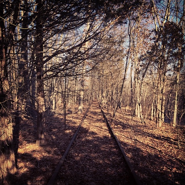 Photo: supa_pedro, CC BY 2.0 (via Flickr)
White Trail
~5 min drive
Easy 1.2-mile point-to-point trail in Connecticut.
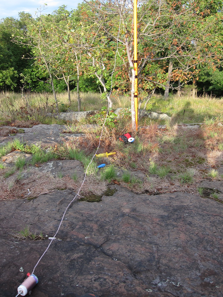 Photo: daveclausen, CC BY 2.0 (via Flickr)
Blue-Red Trail
~7 min drive
0.83-mile point-to-point trail in Connecticut with 186 ft of elevation gain.
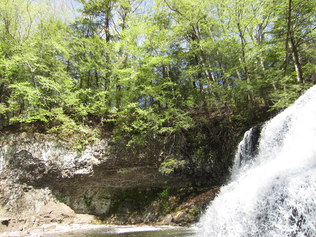 Photo: clembore, CC BY-SA 2.0 (via Flickr)
Bridge Trail
~11 min drive
0.37-mile point-to-point trail in Connecticut with 113 ft gain
Photo: clembore, CC BY-SA 2.0 (via Flickr)Laurel Grove Brook Trail
~12 min drive
Short point-to-point brook walk through Connecticut forest.
 Photo: clembore, CC BY-SA 2.0 (via Flickr)
Main Trail
~12 min drive
Main Trail is a 1.63-mile point-to-point trail in Connecticut.
Photo: clembore, CC BY-SA 2.0 (via Flickr)Little Falls Trail
~12 min drive
Short point-to-point trail leading to a scenic Connecticut waterfall.
Photo: clembore, CC BY-SA 2.0 (via Flickr)Cedar Loop Trail
~12 min drive
Easy 1-mile point-to-point woodland walk through Connecticut cedar forest.
Photo: clembore, CC BY-SA 2.0 (via Flickr)White Birch Trail
~12 min drive
0.50-mile point-to-point trail in Connecticut with 28 ft gain and 95 ft loss.
Map and trail data © OpenStreetMap contributors

