Mattabesett Trolley Trail
0.47-mile out-and-back trail in Connecticut with 83 ft gain.
- 0.5 mi
- round trip
- 149 ft
- climb
- 104 ft
- high point
- Out and back
- route
Best time to visit Mattabesett Trolley Trail
Best months: April and June–October. Best months have typical highs of 55–85 °F, lows of 30 °F or warmer (32 °F where the station doesn't record snow), at most one snowy day and no more than 12 wet days.
Jan
37° / 19°
10 wet
Feb
39° / 20°
9 wet
Mar
47° / 28°
10 wet
Apr
60° / 38°
11 wet
May
70° / 48°
13 wet
Jun
79° / 57°
12 wet
Jul
84° / 63°
12 wet
Aug
82° / 61°
12 wet
Sep
75° / 54°
11 wet
Oct
64° / 42°
12 wet
Nov
52° / 32°
10 wet
Dec
42° / 24°
11 wet
Typical high / low (°F) and days with rain or snow, 1991–2020. Measured at Meriden Markham Muni Ap, CT, 9.1 mi away at 103 ft. This station doesn't record snowfall. Source: NOAA NCEI U.S. Climate Normals 1991–2020.
The Mattabesett Trolley Trail is a short, easy hike in Connecticut, about half a mile from Highland Estates. The route is an out-and-back of roughly 0.9 miles, with a total climb of about 150 feet and a high point of 104 feet. The trail is rated easy, and the climb is back-loaded, with the steepest stretch at the start, about 8%, before the grade eases. Bikes are allowed on this trail, but horses are not. The route is short enough to fit into a quick outing, and the low elevation makes it a comfortable choice for any season. For a longer walk, the Berlin Land Trust Yellow Trail and the Blue-Red Trail are both about 3 miles away. Climbers can head to Chauncey Peak, about 4 miles off, and paddlers will find the Coginchaug River about 9 miles away.
Keep exploring — more trails worth the drive
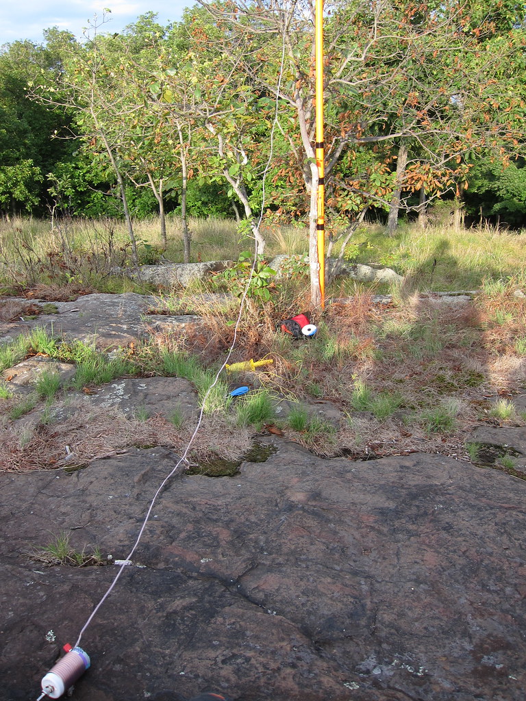 Photo: daveclausen, CC BY 2.0 (via Flickr)
Blue-Red Trail
~5 min drive
0.83-mile point-to-point trail in Connecticut with 186 ft of elevation gain.
Shenipsit Trail
~12 min drive
A 45.78-mile point-to-point trail across central Connecticut.
 Photo: christinejwarner, CC BY 2.0 (via Flickr)
Yellow Trail
~6 min drive
Yellow Trail is a 0.88-mile point-to-point trail in Connecticut with 275 ft of elevation gain.
Photo: christinejwarner, CC BY 2.0 (via Flickr)Red Trail
~7 min drive
A short point-to-point trail under a mile in Connecticut.
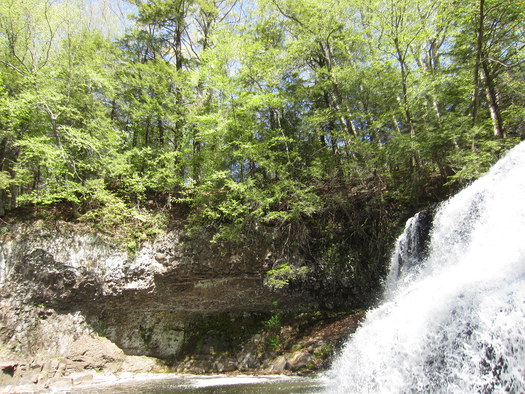 Photo: clembore, CC BY-SA 2.0 (via Flickr)
Bridge Trail
~7 min drive
0.37-mile point-to-point trail in Connecticut with 113 ft gain
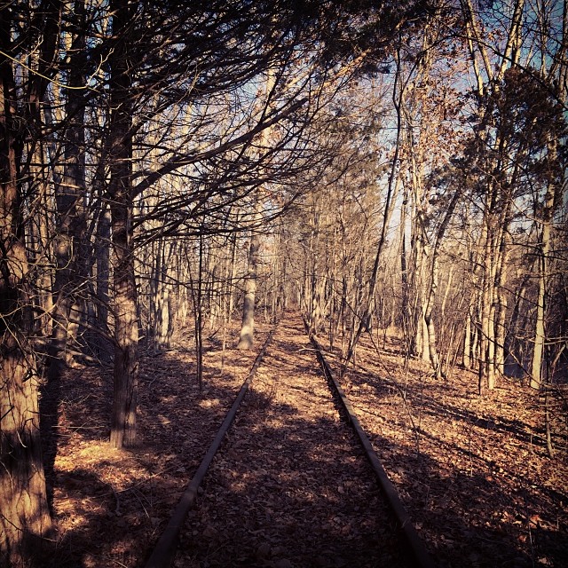 Photo: supa_pedro, CC BY 2.0 (via Flickr)
White Trail
~8 min drive
Easy 1.2-mile point-to-point trail in Connecticut.
 Photo: clembore, CC BY-SA 2.0 (via Flickr)
White Birch Trail
~8 min drive
0.50-mile point-to-point trail in Connecticut with 28 ft gain and 95 ft loss.
Photo: clembore, CC BY-SA 2.0 (via Flickr)Cedar Loop Trail
~8 min drive
Easy 1-mile point-to-point woodland walk through Connecticut cedar forest.
Photo: clembore, CC BY-SA 2.0 (via Flickr)Little Falls Trail
~8 min drive
Short point-to-point trail leading to a scenic Connecticut waterfall.
Photo: clembore, CC BY-SA 2.0 (via Flickr)Main Trail
~8 min drive
Main Trail is a 1.63-mile point-to-point trail in Connecticut.

