Camp Shalom
Campground
Campground · 3.1 mi from the trail
The Chartreuse Trail is a short, easy hike in Connecticut, about 0.65 miles long and rising roughly 107 feet from its low point of 369 feet to a high of 513 feet. It is a point-to-point route, and the climb is mostly flat, with the steepest stretch at about 0.22 miles in, where the grade reaches 9 percent. The nearest town is North Bloomfield, about 1.3 miles away. Late spring and early fall are the most comfortable times to go. Typical averages from a nearby weather station in Hartford show May highs around 72°F and September highs around 76°F, with July the warmest month at about 85°F. That station sits well below the trail, so temperatures on the higher ground run cooler. The trip takes about half an hour. The Aloha Trail is just 0.4 miles away, and the Simsbury Riverwalk and Yellow Trail are both within about 2 miles. Climbers can find the Firetown Road area about 5 miles off.
Camp Shalom
Campground
 If it rainsDaderot, Public domain · Wikimedia Commons
A. Everett Austin House
Museum
Places © OpenStreetMap contributors · Photos: Daderot, Public domain (commons)
More in MiddletownBest months: April–October. Best months have typical highs of 55–85 °F, lows of 30 °F or warmer (32 °F where the station doesn't record snow), at most one snowy day and no more than 12 wet days.
Jan
35° / 19°
11 wet
Feb
39° / 21°
10 wet
Mar
47° / 28°
11 wet
Apr
60° / 38°
12 wet
May
72° / 48°
12 wet
Jun
80° / 58°
12 wet
Jul
85° / 63°
11 wet
Aug
83° / 62°
10 wet
Sep
76° / 54°
9 wet
Oct
64° / 42°
10 wet
Nov
51° / 33°
10 wet
Dec
41° / 25°
11 wet
Typical high / low (°F) and days with rain or snow, 1991–2020. Measured at Hartford Bradley Intl Ap, CT, 5.9 mi away at 190 ft. This station doesn't record snowfall. Source: NOAA NCEI U.S. Climate Normals 1991–2020.
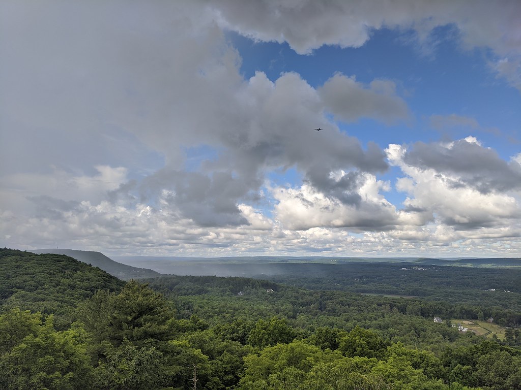 Photo: dddaag, CC BY 2.0 (via Flickr)
Aloha Trail
Next door
0.55-mile loop trail in Connecticut with 87 ft elevation gain
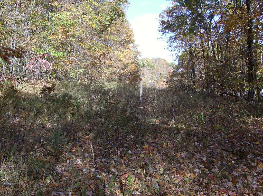 Photo: David_Morris, CC BY 2.0 (via Flickr)
White Trail
~7 min drive
0.40-mile loop trail in Connecticut with 72 ft elevation gain.
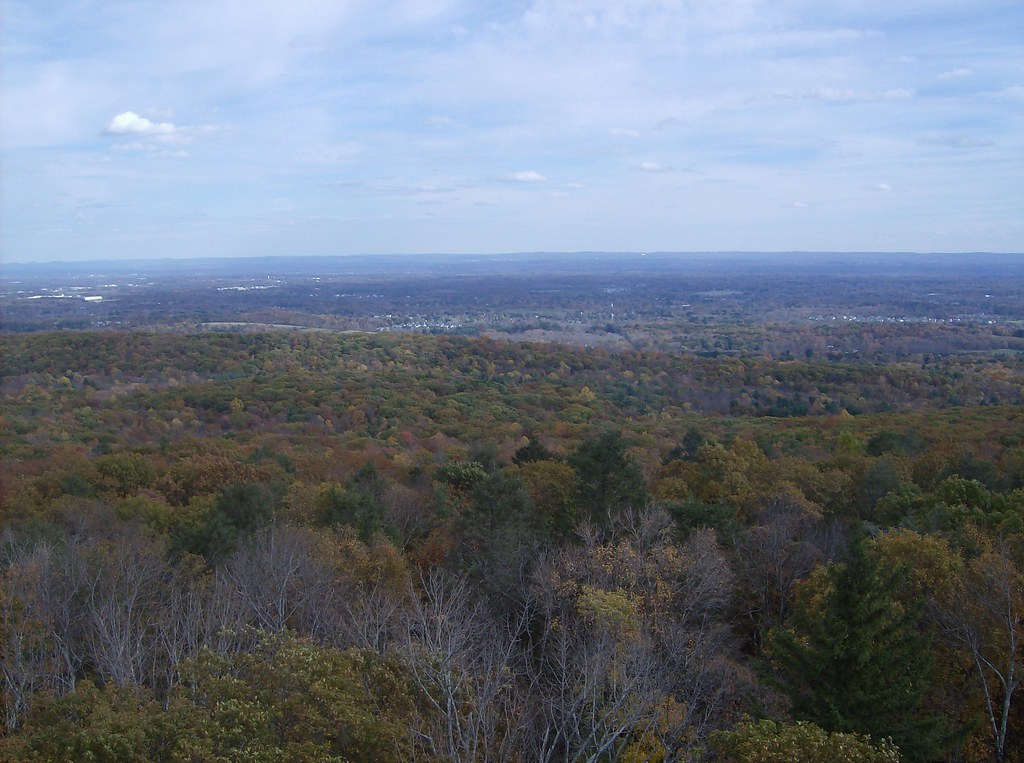 Photo: David_Morris, CC BY 2.0 (via Flickr)
Green Trail
~5 min drive
Green Trail is a 0.35-mile point-to-point trail in Connecticut.
HIKE
Purple Trail
~4 min drive
0.47-mile point-to-point trail in Connecticut with 300 ft elevation loss.
 Photo: dddaag, CC BY 2.0 (via Flickr)
North Trail
~6 min drive
North Trail is a 3.54-mile point-to-point trail in Connecticut.
Photo: dddaag, CC BY 2.0 (via Flickr)Spring Pond Trail
~6 min drive
0.42-mile point-to-point trail with 127 ft gain in Connecticut
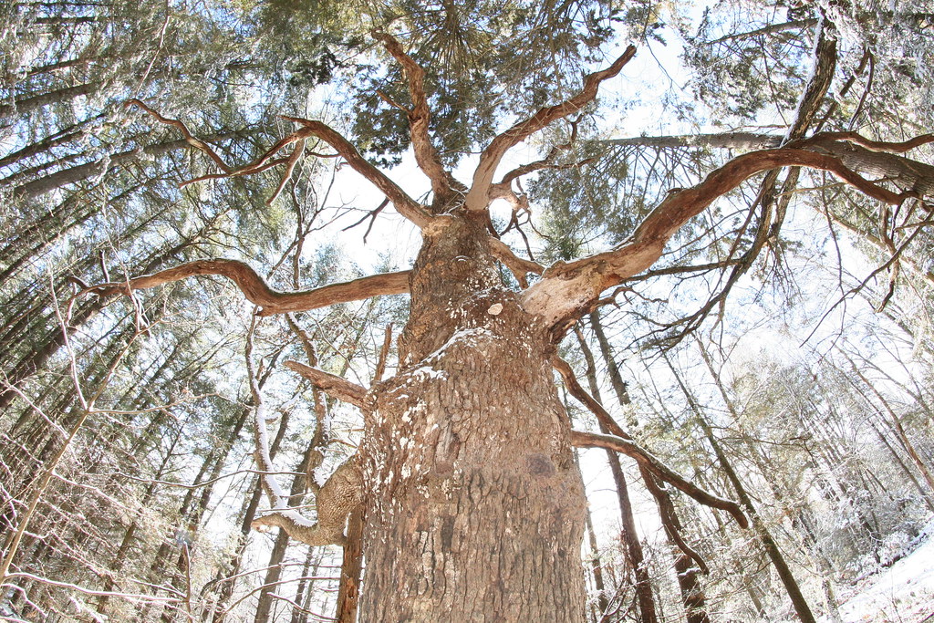 Photo: dddaag, CC BY 2.0 (via Flickr)
Creek Trail
~7 min drive
0.32-mile point-to-point trail in Connecticut with 85 ft of elevation gain.
Photo: dddaag, CC BY 2.0 (via Flickr)Summit Trail
~7 min drive
0.31-mile point-to-point trail in Connecticut with 100 ft gain.
Photo: dddaag, CC BY 2.0 (via Flickr)Werbitzkas Loop Trail
~7 min drive
0.75-mile point-to-point trail in Connecticut with 194 ft gain.
Photo: dddaag, CC BY 2.0 (via Flickr)Meadow Trail
~8 min drive
Easy point-to-point meadow walk through Connecticut grasslands.
Map and trail data © OpenStreetMap contributors
